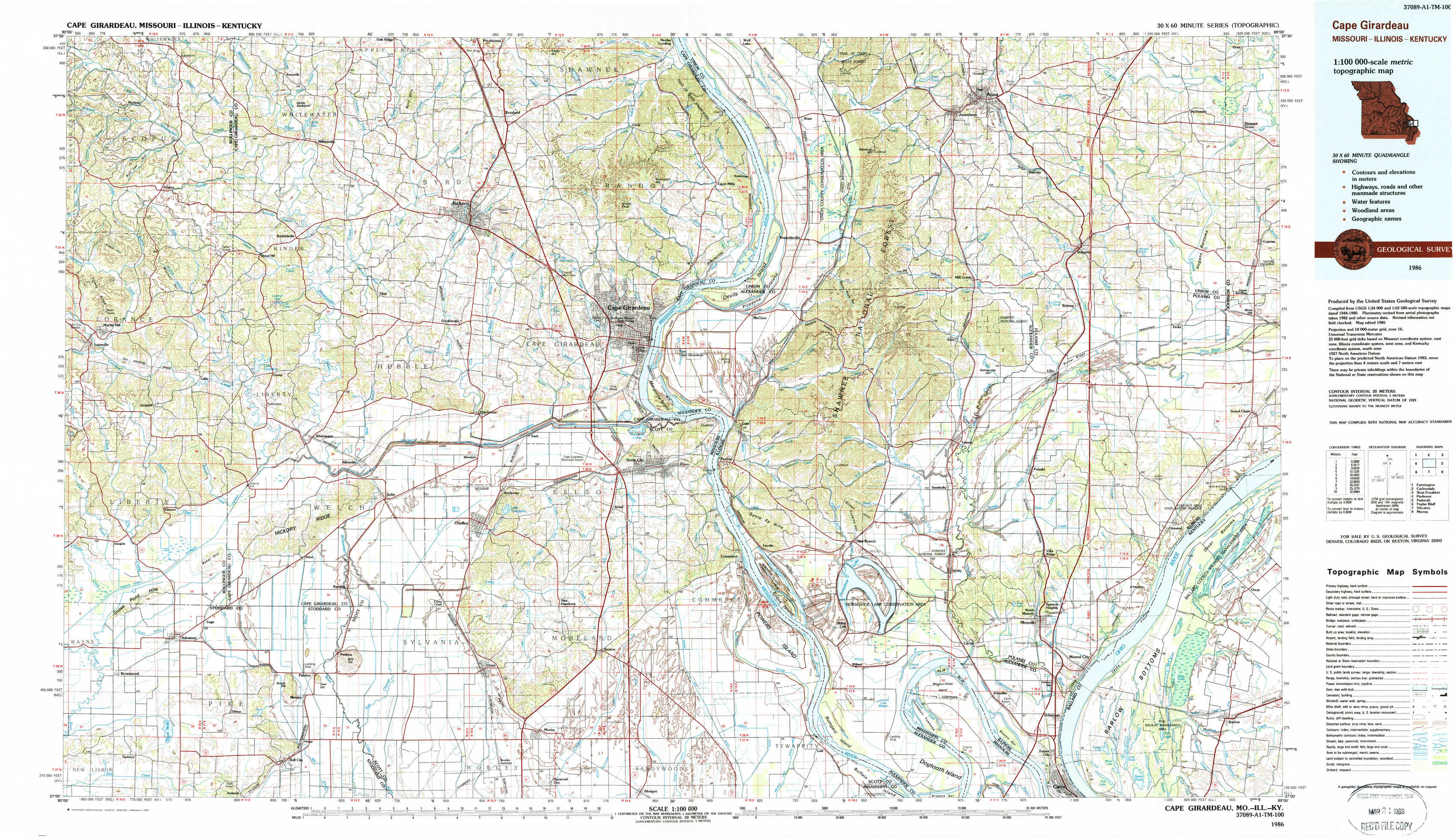
Cape Girardeau Topo Map Missouri
To zoom in, hover over the map of Cape Girardeau
USGS Topo Map 37089a1 - 1:100,000 scale
| Topo Map Name: | Cape Girardeau |
| USGS Topo Quad ID: | 37089a1 |
| Print Size: | ca. 39" wide x 24" high |
| Southeast Coordinates: | 37° N latitude / 89° W longitude |
| Map Center Coordinates: | 37.25° N latitude / 89.5° W longitude |
| U.S. States: | MO, IL, KY |
| Filename: | 37089a1.jpg |
| Download Map JPG Image: | Cape Girardeau topo map 1:100,000 scale |
| Map Type: | Topographic |
| Topo Series: | 30´x60´ |
| Map Scale: | 1:100,000 |
| Source of Map Images: | United States Geological Survey (USGS) |
| Alternate Map Versions: |
Cape Girardeau MO 1984, updated 1985 Download PDF Buy paper map Cape Girardeau MO 1986, updated 1986 Download PDF Buy paper map |
1:100,000 Topos surrounding Cape Girardeau
Farmington |
Carbondale |
West Frankfort |
Piedmont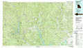 |
Cape Girardeau |
Paducah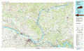 |
Poplar Bluff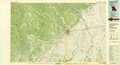 |
Sikeston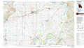 |
Murray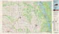 |
> Back to 37088a1 at 1:250,000 scale
> Back to U.S. Topo Maps home
1:24,000 Topo Quads covered by the spatial extent of this 100k map (Cape Girardeau)
|
Scopus 
|
Millersville 
|
Jackson 
|
Cape Girardeau Ne 
|
Ware 
|
Jonesboro 
|
Anna 
|
Mount Pleasant 
|
|
Marble Hill 
|
Bufordville 
|
Gordonville 
|
Cape Girardeau 
|
Mcclure 
|
Mill Creek 
|
Dongola 
|
Cypress 
|
|
Dongola 
|
Whitewater 
|
Chaffee 
|
Scott City 
|
Thebes 
|
Tamms 
|
Pulaski 
|
Olmsted 
|
|
Advance 
|
Bell City 
|
Oran 
|
Morley 
|
Thebes Sw 
|
Cache 
|
Cairo 
|
Barlow 
|