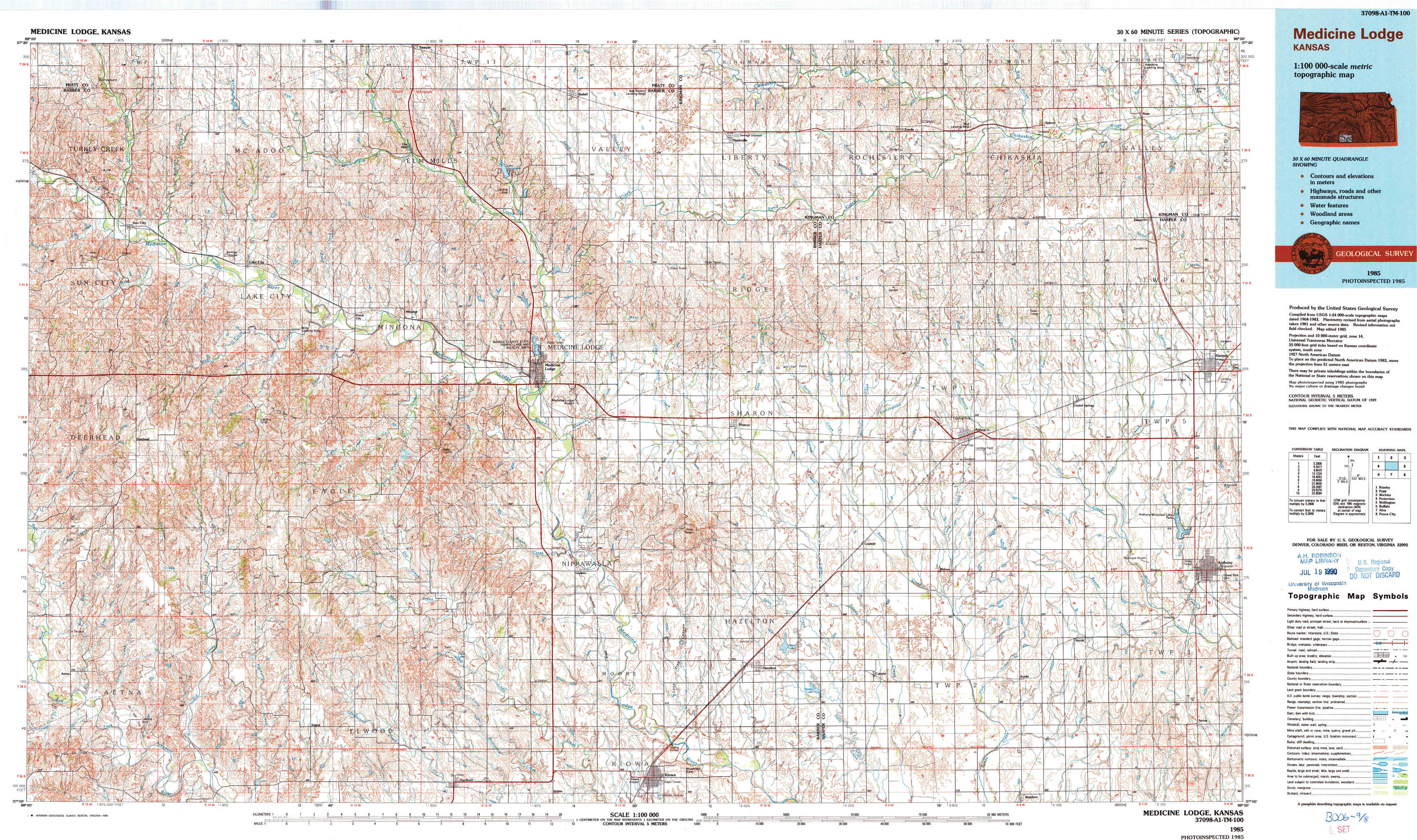
Medicine Lodge Topo Map Kansas
To zoom in, hover over the map of Medicine Lodge
USGS Topo Map 37098a1 - 1:100,000 scale
| Topo Map Name: | Medicine Lodge |
| USGS Topo Quad ID: | 37098a1 |
| Print Size: | ca. 39" wide x 24" high |
| Southeast Coordinates: | 37° N latitude / 98° W longitude |
| Map Center Coordinates: | 37.25° N latitude / 98.5° W longitude |
| U.S. State: | KS |
| Filename: | 37098a1.jpg |
| Download Map JPG Image: | Medicine Lodge topo map 1:100,000 scale |
| Map Type: | Topographic |
| Topo Series: | 30´x60´ |
| Map Scale: | 1:100,000 |
| Source of Map Images: | United States Geological Survey (USGS) |
| Alternate Map Versions: |
Medicine Lodge KS 1985, updated 1985 Download PDF Buy paper map Medicine Lodge KS 1985, updated 1990 Download PDF Buy paper map |
1:100,000 Topos surrounding Medicine Lodge
Kinsley |
Pratt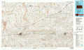 |
Wichita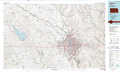 |
Protection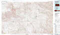 |
Medicine Lodge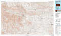 |
Wellington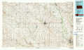 |
Buffalo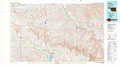 |
Alva |
Ponca City |
> Back to 37098a1 at 1:250,000 scale
> Back to U.S. Topo Maps home
1:24,000 Topo Quads covered by the spatial extent of this 100k map (Medicine Lodge)
|
Sun City 
|
Sun City Ne 
|
Sawyer 
|
Isabel 
|
Nashville 
|
Zenda 
|
Spivey 
|
Rago 
|
|
Sun City Sw 
|
Lake City 
|
Medicine Lodge Sw 
|
Medicine Lodge 
|
Sharon North 
|
Zenda Se 
|
Crystal Springs 
|
Harper 
|
|
Deerhead 
|
Pump Creek 
|
Hardtner Nw 
|
Gerlane 
|
Sharon South 
|
Crisfield 
|
Attica 
|
Anthony 
|
|
Aetna 
|
Hackberry Creek 
|
Hardtner 
|
Stubbs 
|
Kiowa 
|
Corwin 
|
Waldron 
|
Spring 
|