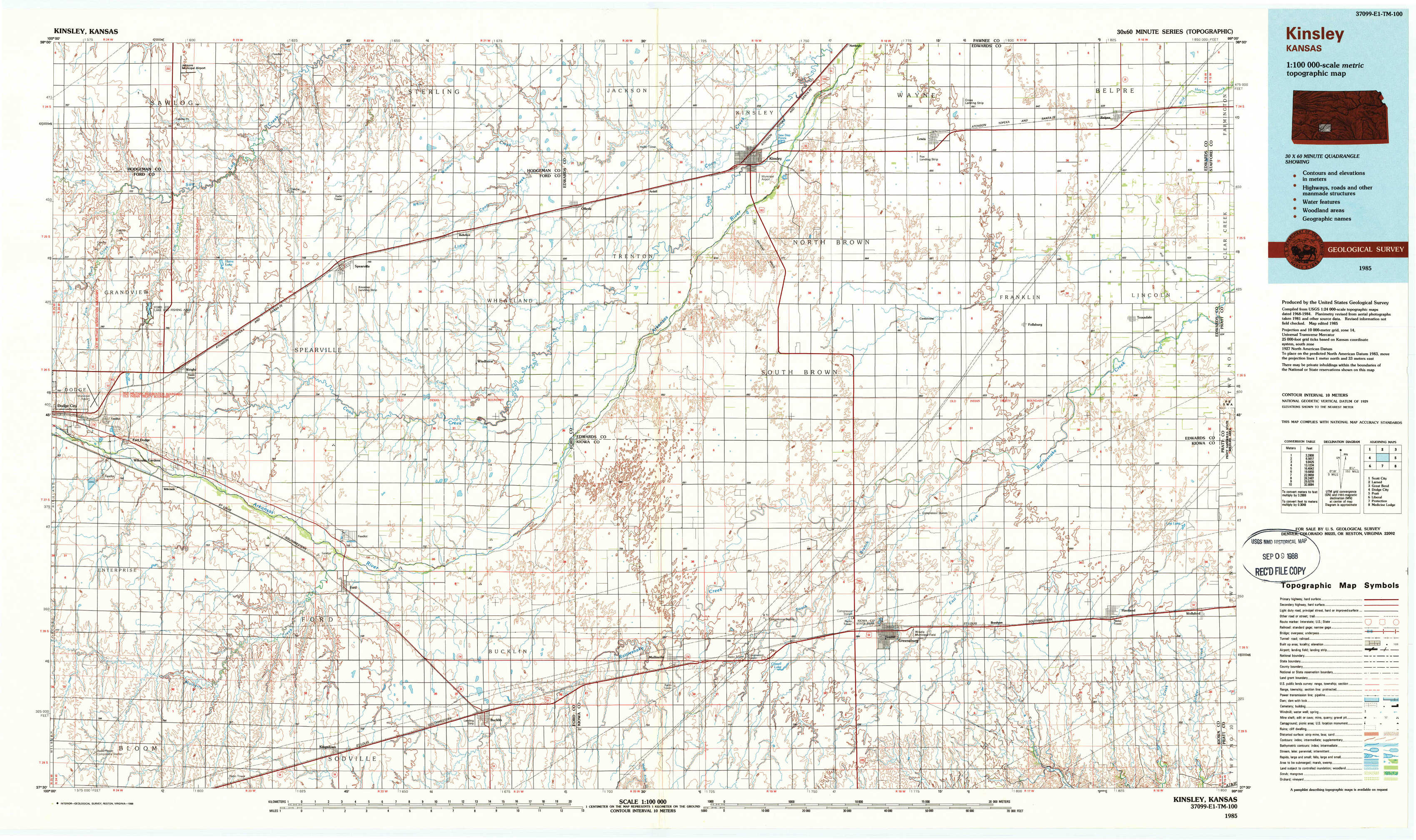
Kinsley Topo Map Kansas
To zoom in, hover over the map of Kinsley
USGS Topo Map 37099e1 - 1:100,000 scale
| Topo Map Name: | Kinsley |
| USGS Topo Quad ID: | 37099e1 |
| Print Size: | ca. 39" wide x 24" high |
| Southeast Coordinates: | 37.5° N latitude / 99° W longitude |
| Map Center Coordinates: | 37.75° N latitude / 99.5° W longitude |
| U.S. State: | KS |
| Filename: | 37099e1.jpg |
| Download Map JPG Image: | Kinsley topo map 1:100,000 scale |
| Map Type: | Topographic |
| Topo Series: | 30´x60´ |
| Map Scale: | 1:100,000 |
| Source of Map Images: | United States Geological Survey (USGS) |
| Alternate Map Versions: |
Kinsley KS 1985, updated 1985 Download PDF Buy paper map Kinsley KS 1985, updated 1988 Download PDF Buy paper map |
1:100,000 Topos surrounding Kinsley
Scott City |
Larned |
Great Bend |
Dodge City |
Kinsley |
Pratt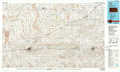 |
Liberal |
Protection |
Medicine Lodge |
> Back to 37098a1 at 1:250,000 scale
> Back to U.S. Topo Maps home
1:24,000 Topo Quads covered by the spatial extent of this 100k map (Kinsley)
|
Spearville Nw 
|
Spearville Ne 
|
Offerle Nw 
|
Offerle 
|
Kinsley 
|
Lewis 
|
Belpre Nw 
|
Belpre 
|
|
Wright 
|
Spearville 
|
Bellefont 
|
Offerle Se 
|
Kinsley Sw 
|
Centerview 
|
Fellsburg 
|
Trousdale 
|
|
Fort Dodge 
|
Ford 
|
Bucklin Nw 
|
Bucklin Ne 
|
Greensburg Nw 
|
Greensburg Ne 
|
Haviland Nw 
|
Haviland Ne 
|
|
Fort Dodge Sw 
|
Kingsdown 
|
Bucklin 
|
Bucklin Se 
|
Mullinville 
|
Greensburg 
|
Brenham 
|
Haviland 
|