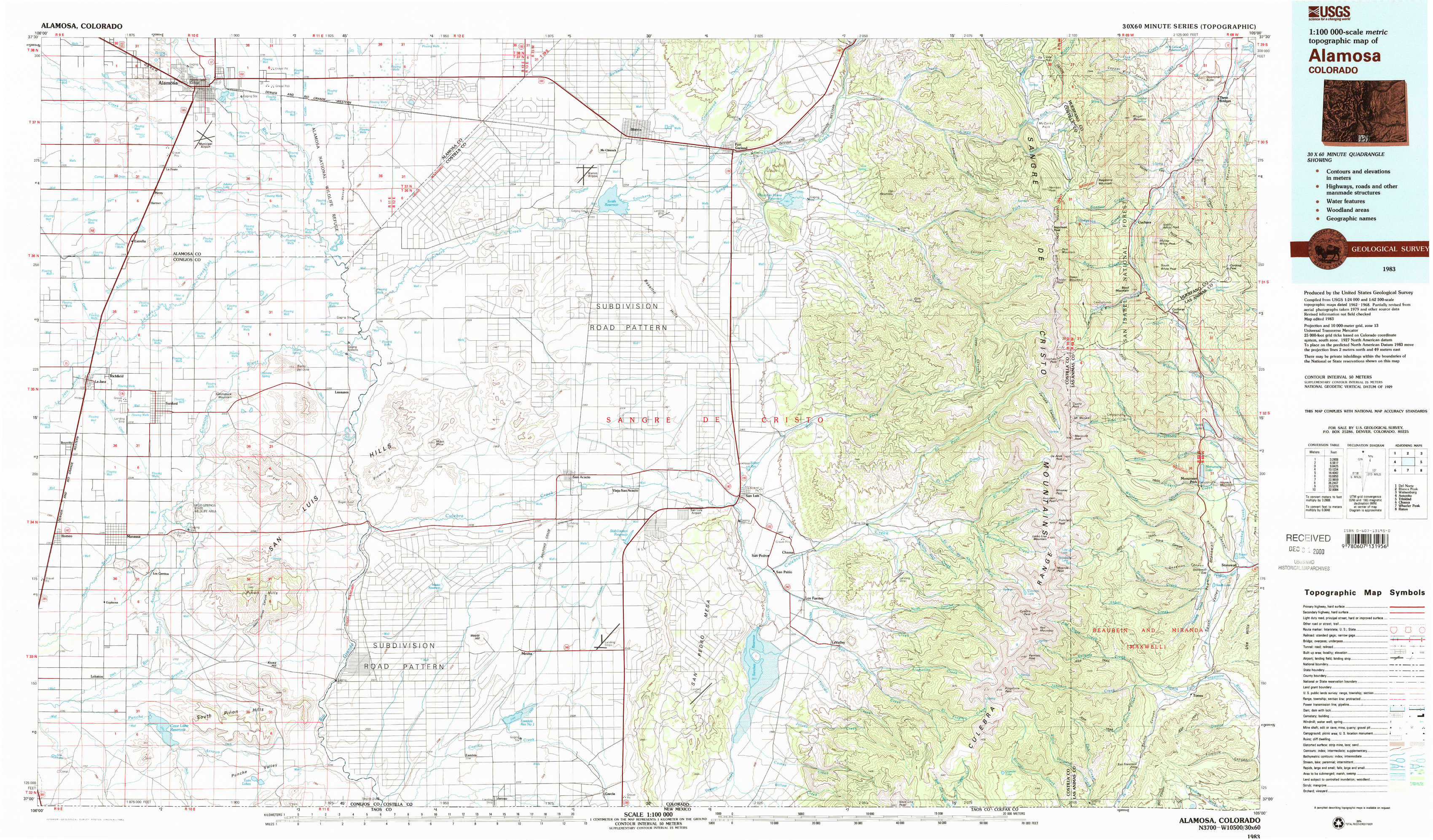
Alamosa Topo Map Colorado
To zoom in, hover over the map of Alamosa
USGS Topo Map 37105a1 - 1:100,000 scale
| Topo Map Name: | Alamosa |
| USGS Topo Quad ID: | 37105a1 |
| Print Size: | ca. 39" wide x 24" high |
| Southeast Coordinates: | 37° N latitude / 105° W longitude |
| Map Center Coordinates: | 37.25° N latitude / 105.5° W longitude |
| U.S. State: | CO |
| Filename: | 37105a1.jpg |
| Download Map JPG Image: | Alamosa topo map 1:100,000 scale |
| Map Type: | Topographic |
| Topo Series: | 30´x60´ |
| Map Scale: | 1:100,000 |
| Source of Map Images: | United States Geological Survey (USGS) |
| Alternate Map Versions: |
Alamosa CO 1983, updated 1983 Download PDF Buy paper map |
1:100,000 Topos surrounding Alamosa
Del Norte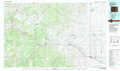 |
Blanca Peak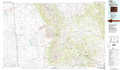 |
Walsenburg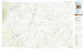 |
Antonito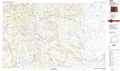 |
Alamosa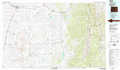 |
Trinidad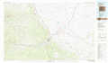 |
Chama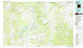 |
Wheeler Peak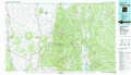 |
Raton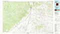 |
> Back to 37104a1 at 1:250,000 scale
> Back to U.S. Topo Maps home
1:24,000 Topo Quads covered by the spatial extent of this 100k map (Alamosa)
|
Alamosa West 
|
Alamosa East 
|
Baldy 
|
Blanca 
|
Fort Garland 
|
Trinchera Ranch 
|
Mccarty Park 
|
Cuchara 
|
|
La Jara 
|
Pikes Stockade 
|
Lasauses 
|
Blanca Se 
|
Fort Garland Sw 
|
Ojito Peak 
|
Trinchera Peak 
|
Cucharas Pass 
|
|
Manassa 
|
Manassa Ne 
|
Mesito Reservoir 
|
San Acacio 
|
San Luis 
|
Taylor Ranch 
|
El Valle Creek 
|
Stonewall 
|
|
Lobatos 
|
Kiowa Hill 
|
Sky Valley Ranch 
|
Garcia 
|
Sanchez Reservoir 
|
La Valley 
|
Culebra Peak 
|
Torres 
|