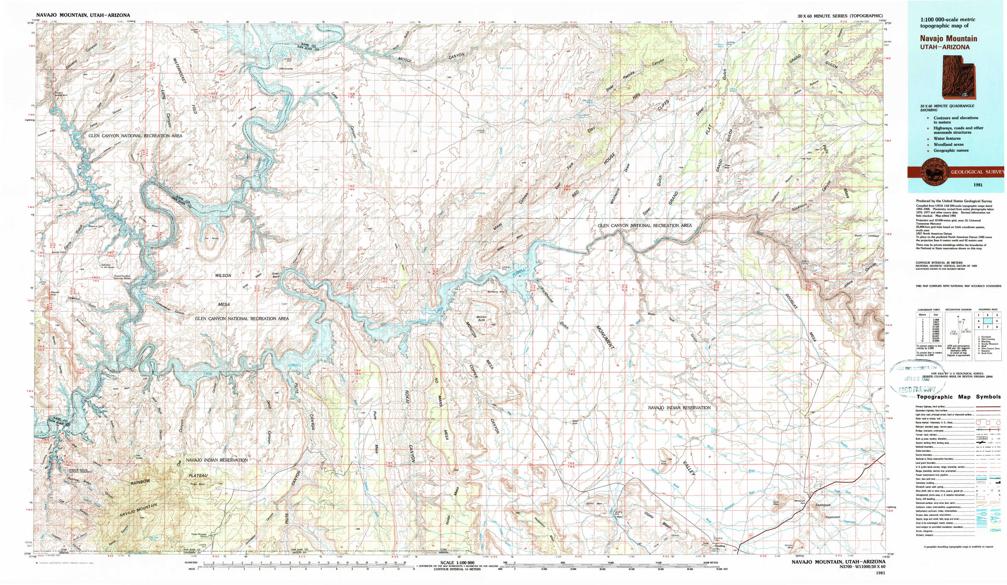
Navajo Mountain Topo Map Utah
To zoom in, hover over the map of Navajo Mountain
USGS Topo Map 37110a1 - 1:100,000 scale
| Topo Map Name: | Navajo Mountain |
| USGS Topo Quad ID: | 37110a1 |
| Print Size: | ca. 39" wide x 24" high |
| Southeast Coordinates: | 37° N latitude / 110° W longitude |
| Map Center Coordinates: | 37.25° N latitude / 110.5° W longitude |
| U.S. States: | UT, AZ |
| Filename: | 37110a1.jpg |
| Download Map JPG Image: | Navajo Mountain topo map 1:100,000 scale |
| Map Type: | Topographic |
| Topo Series: | 30´x60´ |
| Map Scale: | 1:100,000 |
| Source of Map Images: | United States Geological Survey (USGS) |
| Alternate Map Versions: |
Navajo Mountain UT 1981, updated 1982 Download PDF Buy paper map |
1:100,000 Topos surrounding Navajo Mountain
Escalante |
Hite Crossing |
Blanding |
Smoky Mountain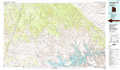 |
Navajo Mountain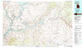 |
Bluff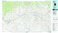 |
Glen Canyon Dam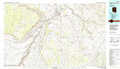 |
Kayenta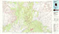 |
Rock Point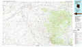 |
> Back to 37110a1 at 1:250,000 scale
> Back to U.S. Topo Maps home
1:24,000 Topo Quads covered by the spatial extent of this 100k map (Navajo Mountain)
|
Stevens Canyon South 
|
The Rincon Ne 
|
Halls Crossing 
|
Halls Crossing Ne 
|
Burnt Spring 
|
Clay Hills 
|
Red House Spring 
|
Pollys Pasture 
|
|
Davis Gulch 
|
The Rincon 
|
Alcove Canyon 
|
Nokai Dome 
|
Mikes Mesa 
|
Whirlwind Draw 
|
Slickhorn Canyon West 
|
Slickhorn Canyon East 
|
|
Nasja Mesa 
|
Wilson Creek 
|
Deep Canyon North 
|
No Mans Mesa North 
|
Monitor Butte 
|
Oljeto Ne 
|
Goulding Nw 
|
Goulding Ne 
|
|
Rainbow Bridge 
|
Navajo Begay 
|
Deep Canyon South 
|
No Mans Mesa South 
|
Jacobs Monument 
|
Oljeto 
|
Goulding 
|
Monument Pass 
|