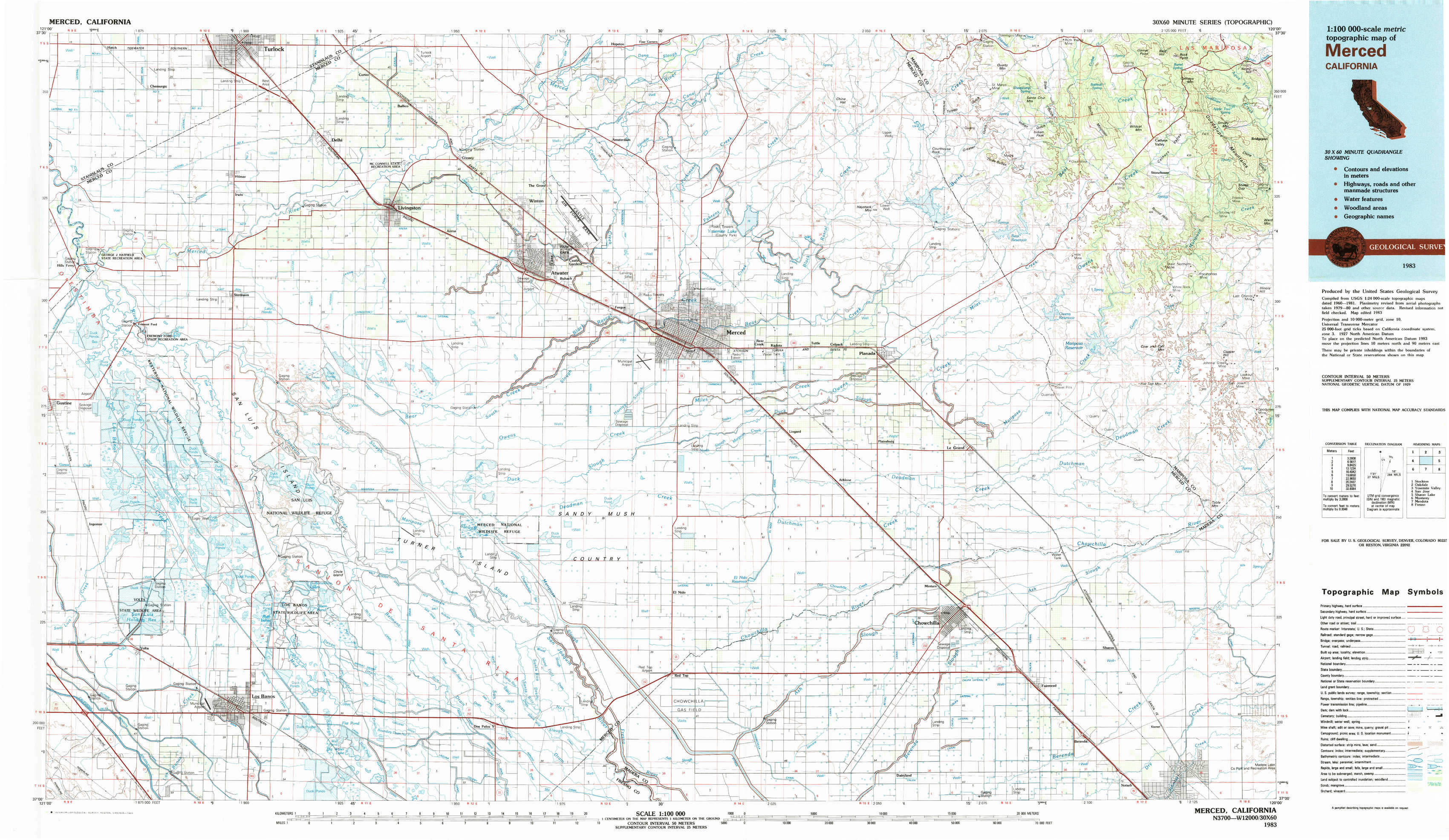
Merced Topo Map California
To zoom in, hover over the map of Merced
USGS Topo Map 37120a1 - 1:100,000 scale
| Topo Map Name: | Merced |
| USGS Topo Quad ID: | 37120a1 |
| Print Size: | ca. 39" wide x 24" high |
| Southeast Coordinates: | 37° N latitude / 120° W longitude |
| Map Center Coordinates: | 37.25° N latitude / 120.5° W longitude |
| U.S. State: | CA |
| Filename: | 37120a1.jpg |
| Download Map JPG Image: | Merced topo map 1:100,000 scale |
| Map Type: | Topographic |
| Topo Series: | 30´x60´ |
| Map Scale: | 1:100,000 |
| Source of Map Images: | United States Geological Survey (USGS) |
| Alternate Map Versions: |
Merced CA 1983, updated 1983 Download PDF Buy paper map |
1:100,000 Topos surrounding Merced
Stockton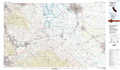 |
Oakdale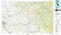 |
Yosemite Valley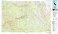 |
San Jose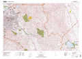 |
Merced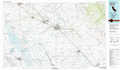 |
Shaver Lake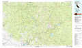 |
Monterey |
Mendota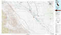 |
Fresno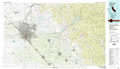 |
> Back to 37120a1 at 1:250,000 scale
> Back to U.S. Topo Maps home
1:24,000 Topo Quads covered by the spatial extent of this 100k map (Merced)
|
Hatch 
|
Turlock 
|
Cressey 
|
Winton 
|
Yosemite Lake 
|
Haystack Mountain 
|
Indian Gulch 
|
Catheys Valley 
|
|
Gustine 
|
Stevinson 
|
Arena 
|
Atwater 
|
Merced 
|
Planada 
|
Owens Reservoir 
|
Illinois Hill 
|
|
Ingomar 
|
San Luis Ranch 
|
Turner Ranch 
|
Sandy Mush 
|
El Nido 
|
Plainsburg 
|
Le Grand 
|
Raynor Creek 
|
|
Volta 
|
Los Banos 
|
Delta Ranch 
|
Santa Rita Bridge 
|
Bliss Ranch 
|
Chowchilla 
|
Berenda 
|
Kismet 
|