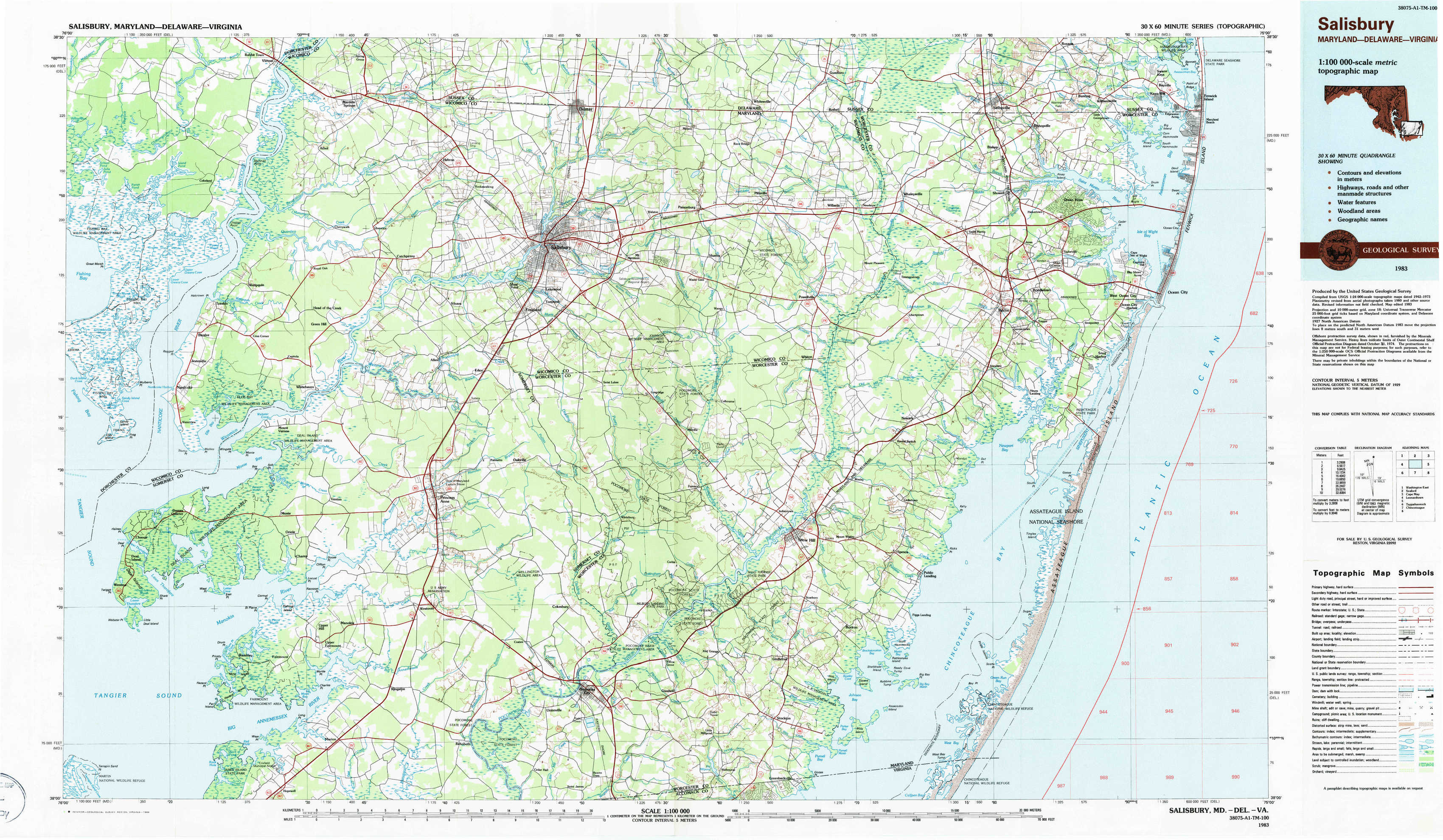
Salisbury Topo Map Maryland
To zoom in, hover over the map of Salisbury
USGS Topo Map 38075a1 - 1:100,000 scale
| Topo Map Name: | Salisbury |
| USGS Topo Quad ID: | 38075a1 |
| Print Size: | ca. 39" wide x 24" high |
| Southeast Coordinates: | 38° N latitude / 75° W longitude |
| Map Center Coordinates: | 38.25° N latitude / 75.5° W longitude |
| U.S. States: | MD, DE, VA |
| Filename: | 38075a1.jpg |
| Download Map JPG Image: | Salisbury topo map 1:100,000 scale |
| Map Type: | Topographic |
| Topo Series: | 30´x60´ |
| Map Scale: | 1:100,000 |
| Source of Map Images: | United States Geological Survey (USGS) |
| Alternate Map Versions: |
Salisbury MD 1983, updated 1984 Download PDF Buy paper map |
1:100,000 Topos surrounding Salisbury
Washington East |
Seaford |
Cape May |
Leonardtown |
Salisbury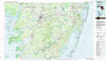 |
|
Tappahannock |
Chincoteague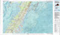 |
> Back to 38074a1 at 1:250,000 scale
> Back to U.S. Topo Maps home
1:24,000 Topo Quads covered by the spatial extent of this 100k map (Salisbury)
|
Chicamacomico River 
|
Mardela Springs 
|
Hebron 
|
Delmar 
|
Pittsville 
|
Whaleysville 
|
Selbyville 
|
Assawoman Bay 
|
|
Nanticoke 
|
Wetipquin 
|
Eden 
|
Salisbury 
|
Wango 
|
Ninepin Branch 
|
Berlin 
|
Ocean City 
|
|
Deal Island 
|
Monie 
|
Princess Anne 
|
Dividing Creek 
|
Snow Hill 
|
Public Landing 
|
Tingles Island 
|
|
|
Terrapin Sand Point 
|
Marion 
|
Kingston 
|
Pocomoke City 
|
Girdletree 
|
Boxiron 
|
Whittington Point 
|