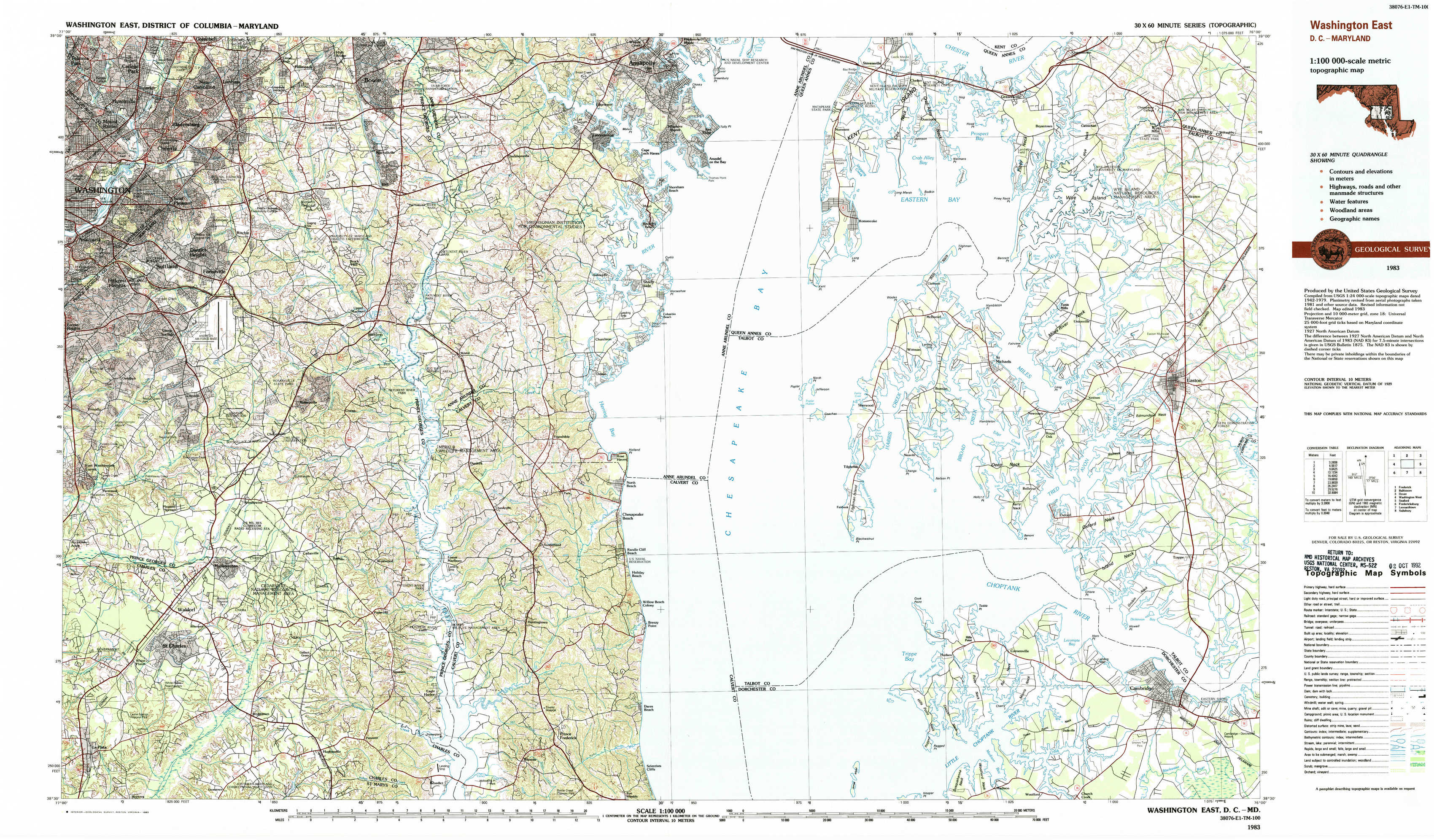
Washington East Topo Map District of Columbia
To zoom in, hover over the map of Washington East
USGS Topo Map 38076e1 - 1:100,000 scale
| Topo Map Name: | Washington East |
| USGS Topo Quad ID: | 38076e1 |
| Print Size: | ca. 39" wide x 24" high |
| Southeast Coordinates: | 38.5° N latitude / 76° W longitude |
| Map Center Coordinates: | 38.75° N latitude / 76.5° W longitude |
| U.S. States: | DC, MD |
| Filename: | 38076e1.jpg |
| Download Map JPG Image: | Washington East topo map 1:100,000 scale |
| Map Type: | Topographic |
| Topo Series: | 30´x60´ |
| Map Scale: | 1:100,000 |
| Source of Map Images: | United States Geological Survey (USGS) |
| Alternate Map Versions: |
Washington East DC 1983, updated 1984 Download PDF Buy paper map Washington East DC 1983, updated 1992 Download PDF Buy paper map |
1:100,000 Topos surrounding Washington East
Frederick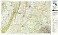 |
Baltimore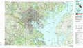 |
Dover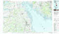 |
Washington West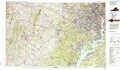 |
Washington East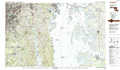 |
Seaford |
Fredericksburg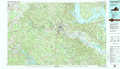 |
Leonardtown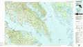 |
Salisbury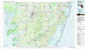 |
> Back to 38076a1 at 1:250,000 scale
> Back to U.S. Topo Maps home
1:24,000 Topo Quads covered by the spatial extent of this 100k map (Washington East)
|
Washington East 
|
Lanham 
|
Bowie 
|
South River 
|
Annapolis 
|
Kent Island 
|
Queenstown 
|
Wye Mills 
|
|
Anacostia 
|
Upper Marlboro 
|
Bristol 
|
Deale 
|
Claiborne 
|
Saint Michaels 
|
Easton 
|
|
|
Piscataway 
|
Brandywine 
|
Lower Marlboro 
|
North Beach 
|
Tilghman 
|
Oxford 
|
Trappe 
|
|
|
La Plata 
|
Hughesville 
|
Benedict 
|
Prince Frederick 
|
Hudson 
|
Church Creek 
|
Cambridge 
|