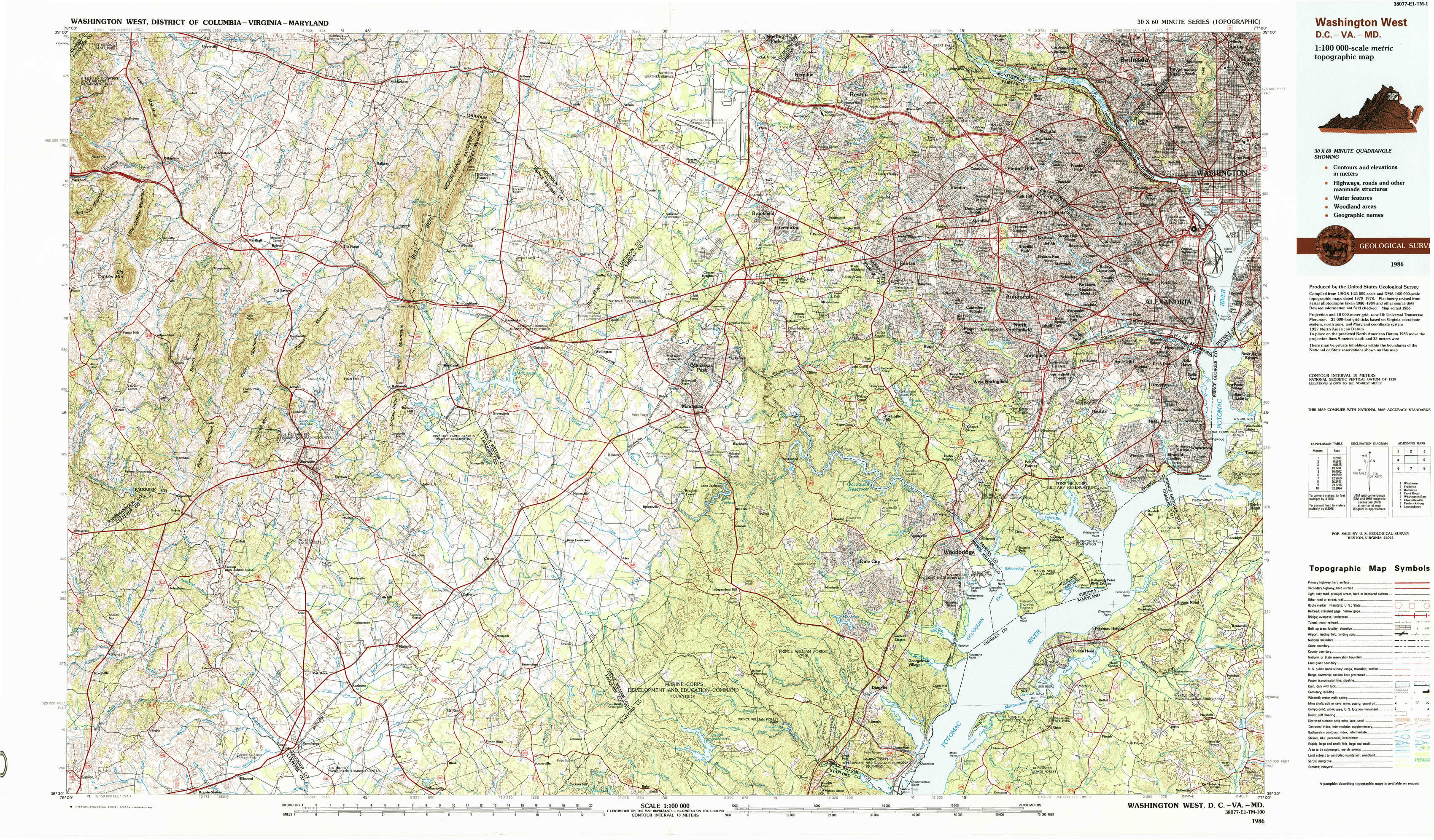
Washington West Topo Map District of Columbia
To zoom in, hover over the map of Washington West
USGS Topo Map 38077e1 - 1:100,000 scale
| Topo Map Name: | Washington West |
| USGS Topo Quad ID: | 38077e1 |
| Print Size: | ca. 39" wide x 24" high |
| Southeast Coordinates: | 38.5° N latitude / 77° W longitude |
| Map Center Coordinates: | 38.75° N latitude / 77.5° W longitude |
| U.S. States: | DC, VA, MD |
| Filename: | 38077e1.jpg |
| Download Map JPG Image: | Washington West topo map 1:100,000 scale |
| Map Type: | Topographic |
| Topo Series: | 30´x60´ |
| Map Scale: | 1:100,000 |
| Source of Map Images: | United States Geological Survey (USGS) |
| Alternate Map Versions: |
Washington West DC 1982, updated 1983 Download PDF Buy paper map Washington West DC 1986, updated 1986 Download PDF Buy paper map Washington West DC 1986, updated 1986 Download PDF Buy paper map |
1:100,000 Topos surrounding Washington West
Winchester |
Frederick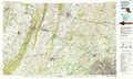 |
Baltimore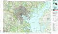 |
Front Royal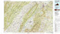 |
Washington West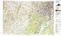 |
Washington East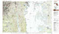 |
Charlottesville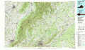 |
Fredericksburg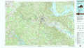 |
Leonardtown |
> Back to 38076a1 at 1:250,000 scale
> Back to U.S. Topo Maps home
1:24,000 Topo Quads covered by the spatial extent of this 100k map (Washington West)
|
Upperville 
|
Rectortown 
|
Middleburg 
|
Arcola 
|
Herndon 
|
Vienna 
|
Falls Church 
|
Washington West 
|
|
Orlean 
|
Marshall 
|
Thoroughfare Gap 
|
Gainesville 
|
Manassas 
|
Fairfax 
|
Annandale 
|
Alexandria 
|
|
Jeffersonton 
|
Warrenton 
|
Catlett 
|
Nokesville 
|
Independent Hill 
|
Occoquan 
|
Fort Belvoir 
|
Mount Vernon 
|
|
Brandy Station 
|
Remington 
|
Midland 
|
Somerville 
|
Joplin 
|
Quantico 
|
Indian Head 
|
Port Tobacco 
|