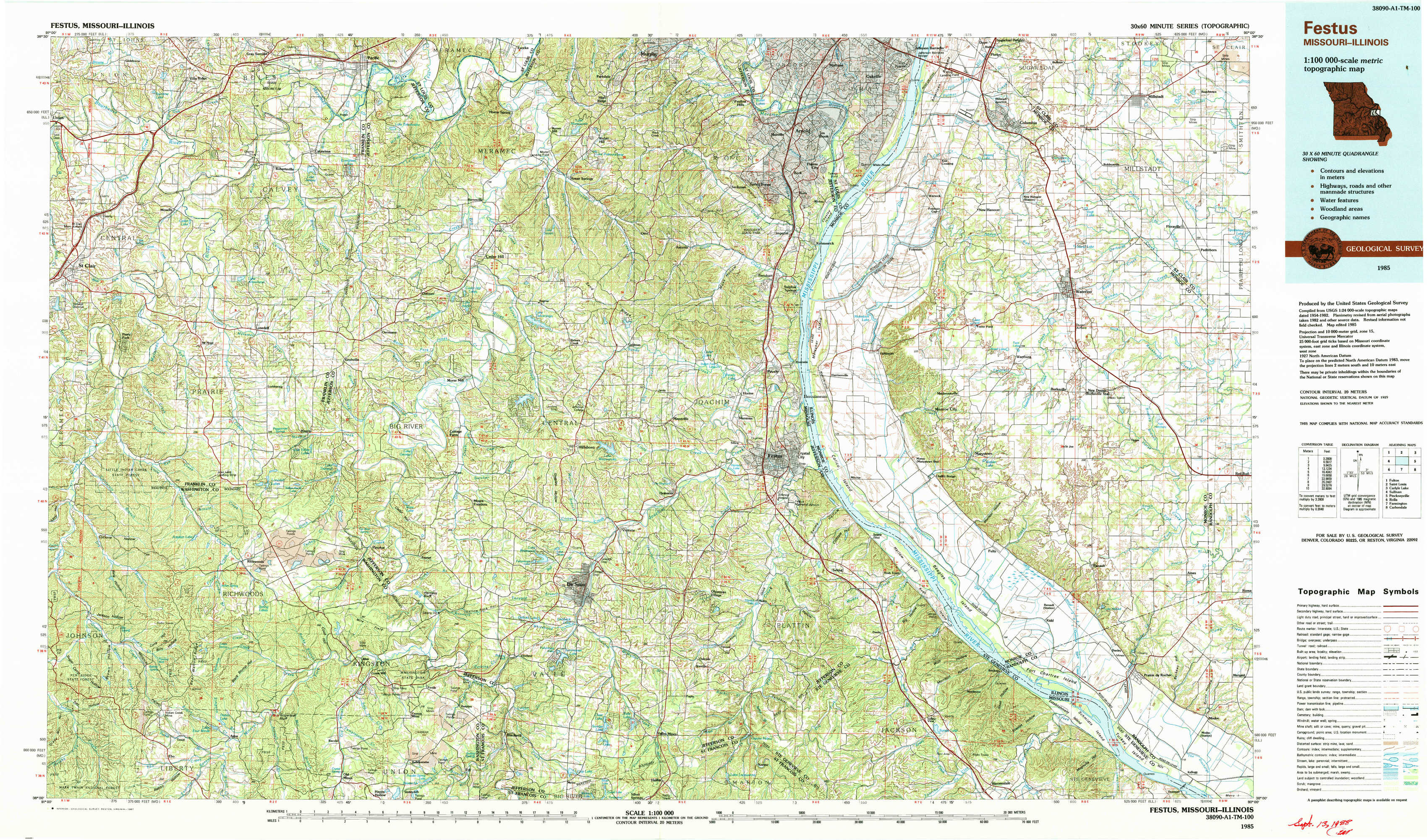
Festus Topo Map Missouri
To zoom in, hover over the map of Festus
USGS Topo Map 38090a1 - 1:100,000 scale
| Topo Map Name: | Festus |
| USGS Topo Quad ID: | 38090a1 |
| Print Size: | ca. 39" wide x 24" high |
| Southeast Coordinates: | 38° N latitude / 90° W longitude |
| Map Center Coordinates: | 38.25° N latitude / 90.5° W longitude |
| U.S. States: | MO, IL |
| Filename: | 38090a1.jpg |
| Download Map JPG Image: | Festus topo map 1:100,000 scale |
| Map Type: | Topographic |
| Topo Series: | 30´x60´ |
| Map Scale: | 1:100,000 |
| Source of Map Images: | United States Geological Survey (USGS) |
| Alternate Map Versions: |
Festus MO 1985, updated 1987 Download PDF Buy paper map |
1:100,000 Topos surrounding Festus
Fulton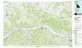 |
Saint Louis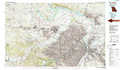 |
Carlyle Lake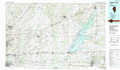 |
Sullivan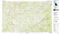 |
Festus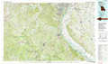 |
Pinckneyville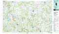 |
Rolla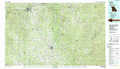 |
Farmington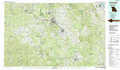 |
Carbondale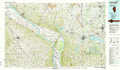 |
> Back to 38090a1 at 1:250,000 scale
> Back to U.S. Topo Maps home
1:24,000 Topo Quads covered by the spatial extent of this 100k map (Festus)
|
Moselle 
|
Gray Summit 
|
Pacific 
|
House Springs 
|
Maxville 
|
Oakville 
|
Columbia 
|
Millstadt 
|
|
Saint Clair 
|
Lonedell 
|
Cedar Hill 
|
Belew Creek 
|
Herculaneum 
|
Valmeyer 
|
Waterloo 
|
Paderborn 
|
|
Cyclone Hollow 
|
Richwoods 
|
Fletcher 
|
Desoto 
|
Festus 
|
Selma 
|
Renault 
|
Ames 
|
|
Ebo 
|
Old Mines 
|
Tiff 
|
Vineland 
|
Halifax 
|
Danby 
|
Bloomsdale 
|
Prairie Du Rocher 
|