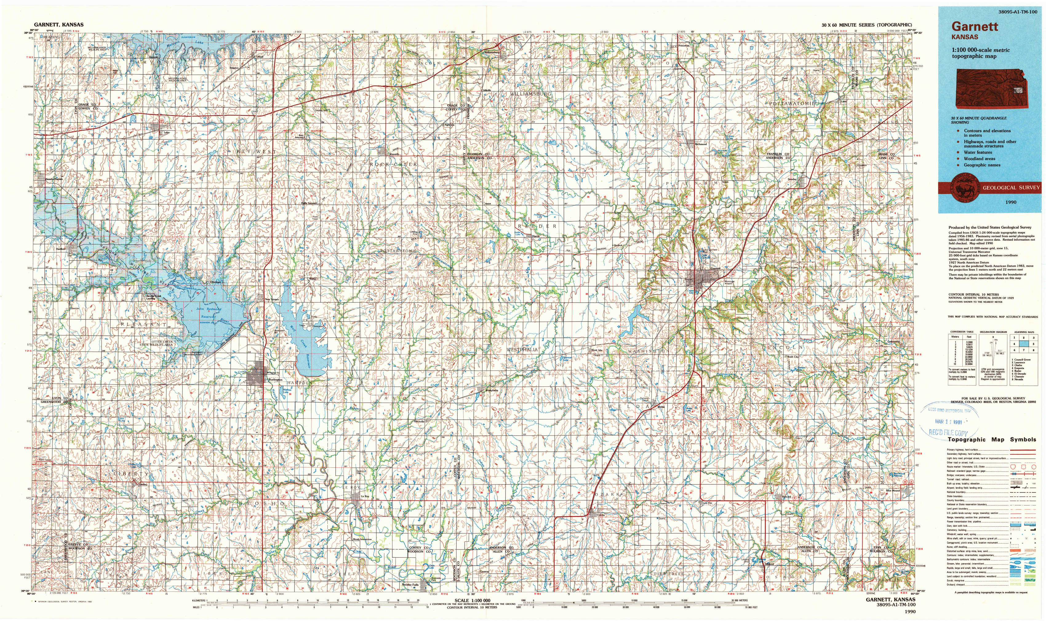
Garnett Topo Map Kansas
To zoom in, hover over the map of Garnett
USGS Topo Map 38095a1 - 1:100,000 scale
| Topo Map Name: | Garnett |
| USGS Topo Quad ID: | 38095a1 |
| Print Size: | ca. 39" wide x 24" high |
| Southeast Coordinates: | 38° N latitude / 95° W longitude |
| Map Center Coordinates: | 38.25° N latitude / 95.5° W longitude |
| U.S. State: | KS |
| Filename: | 38095a1.jpg |
| Download Map JPG Image: | Garnett topo map 1:100,000 scale |
| Map Type: | Topographic |
| Topo Series: | 30´x60´ |
| Map Scale: | 1:100,000 |
| Source of Map Images: | United States Geological Survey (USGS) |
| Alternate Map Versions: |
Garnett KS 1990, updated 1990 Download PDF Buy paper map |
1:100,000 Topos surrounding Garnett
Council Grove |
Lawrence |
Olathe |
Emporia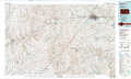 |
Garnett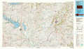 |
Butler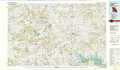 |
El Dorado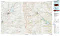 |
Chanute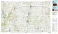 |
Nevada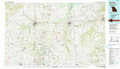 |
> Back to 38094a1 at 1:250,000 scale
> Back to U.S. Topo Maps home
1:24,000 Topo Quads covered by the spatial extent of this 100k map (Garnett)
|
Lebo Nw 
|
Lebo 
|
Waverly Nw 
|
Waverly 
|
Williamsburg 
|
Richmond 
|
Garnett Nw 
|
Lane 
|
|
Hartford 
|
Ottumwa 
|
New Strawn 
|
Waverly Se 
|
Harris 
|
Garnett West 
|
Garnett East 
|
Garnett Se 
|
|
Gridley Nw 
|
John Redmond Dam 
|
Burlington 
|
Aliceville 
|
Westphalia 
|
Welda 
|
Bush City 
|
Centerville 
|
|
Gridley 
|
Gridley Se 
|
Le Roy 
|
Neosho Falls 
|
Geneva 
|
Colony 
|
Kincaid 
|
Blue Mound 
|