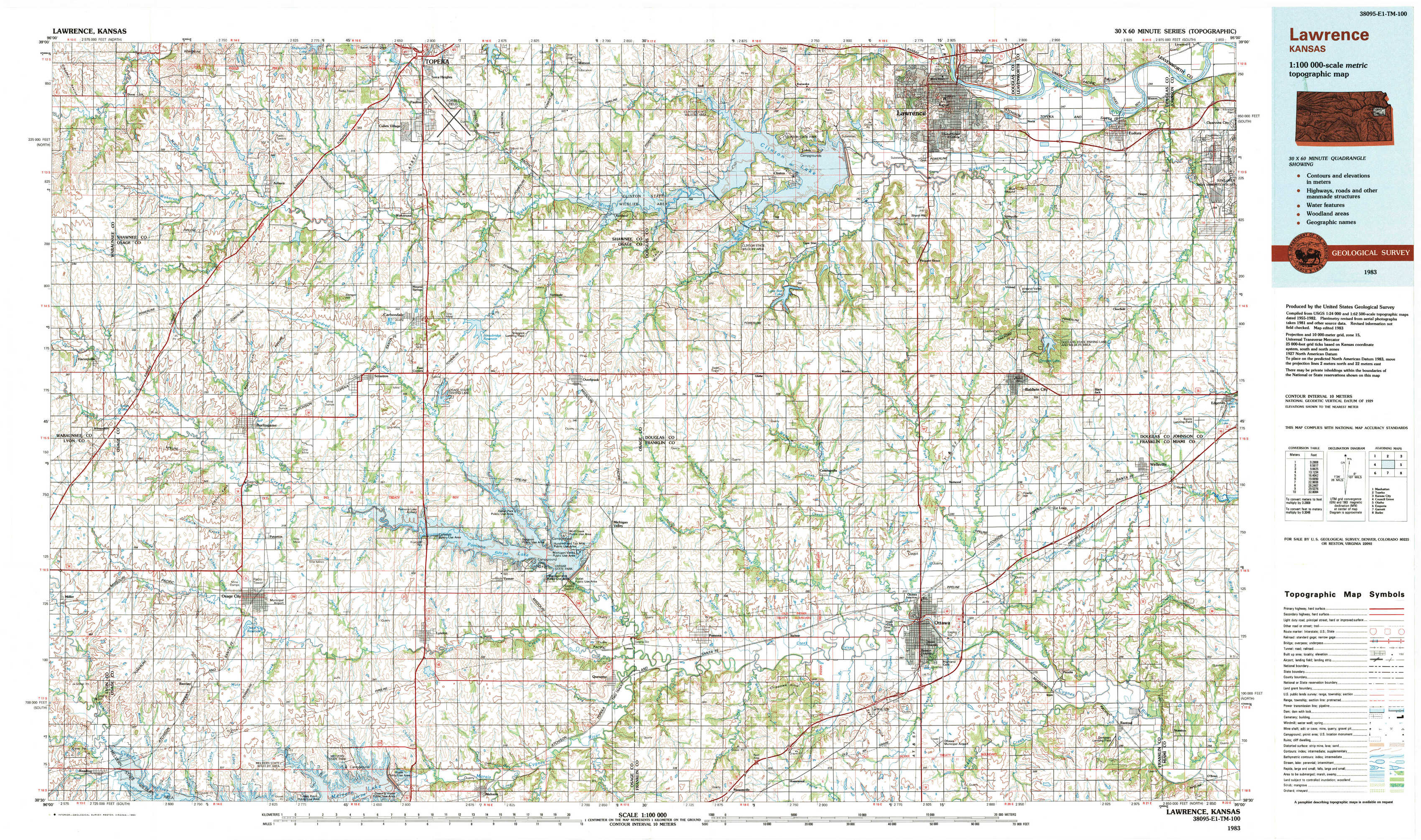
Lawrence Topo Map Kansas
To zoom in, hover over the map of Lawrence
USGS Topo Map 38095e1 - 1:100,000 scale
| Topo Map Name: | Lawrence |
| USGS Topo Quad ID: | 38095e1 |
| Print Size: | ca. 39" wide x 24" high |
| Southeast Coordinates: | 38.5° N latitude / 95° W longitude |
| Map Center Coordinates: | 38.75° N latitude / 95.5° W longitude |
| U.S. State: | KS |
| Filename: | 38095e1.jpg |
| Download Map JPG Image: | Lawrence topo map 1:100,000 scale |
| Map Type: | Topographic |
| Topo Series: | 30´x60´ |
| Map Scale: | 1:100,000 |
| Source of Map Images: | United States Geological Survey (USGS) |
| Alternate Map Versions: |
Lawrence KS 1983, updated 1984 Download PDF Buy paper map |
1:100,000 Topos surrounding Lawrence
Manhattan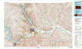 |
Topeka |
Kansas City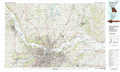 |
Council Grove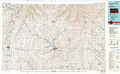 |
Lawrence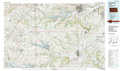 |
Olathe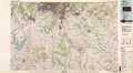 |
Emporia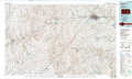 |
Garnett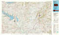 |
Butler |
> Back to 38094a1 at 1:250,000 scale
> Back to U.S. Topo Maps home
1:24,000 Topo Quads covered by the spatial extent of this 100k map (Lawrence)
|
Dover 
|
Auburn 
|
Wakarusa 
|
Richland 
|
Clinton 
|
Lawrence West 
|
Lawrence East 
|
Eudora 
|
|
Harveyville 
|
Burlingame 
|
Carbondale 
|
Overbrook 
|
Globe 
|
Lone Star 
|
Baldwin City 
|
Edgerton 
|
|
Miller 
|
Osage City 
|
Lyndon Nw 
|
Vassar 
|
Ottawa Nw 
|
Ottawa North 
|
Le Loup 
|
Wellsville 
|
|
Reading 
|
Osage City Se 
|
Lyndon 
|
Quenemo 
|
Pomona 
|
Ottawa South 
|
Peoria 
|
Rantoul 
|