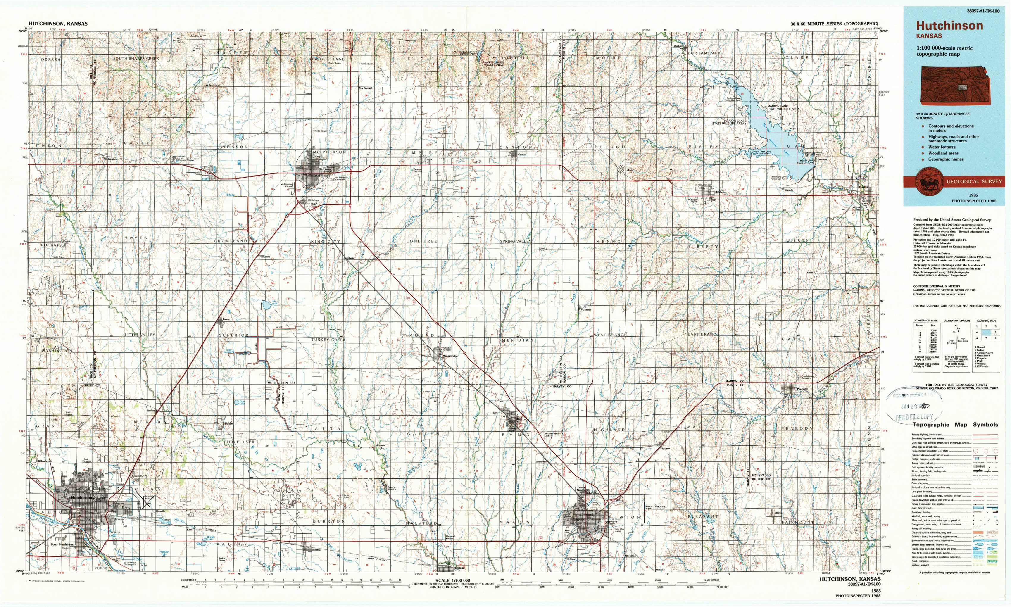
Hutchinson Topo Map Kansas
To zoom in, hover over the map of Hutchinson
USGS Topo Map 38097a1 - 1:100,000 scale
| Topo Map Name: | Hutchinson |
| USGS Topo Quad ID: | 38097a1 |
| Print Size: | ca. 39" wide x 24" high |
| Southeast Coordinates: | 38° N latitude / 97° W longitude |
| Map Center Coordinates: | 38.25° N latitude / 97.5° W longitude |
| U.S. State: | KS |
| Filename: | 38097a1.jpg |
| Download Map JPG Image: | Hutchinson topo map 1:100,000 scale |
| Map Type: | Topographic |
| Topo Series: | 30´x60´ |
| Map Scale: | 1:100,000 |
| Source of Map Images: | United States Geological Survey (USGS) |
| Alternate Map Versions: |
Hutchinson KS 1985, updated 1985 Download PDF Buy paper map Hutchinson KS 1985, updated 1990 Download PDF Buy paper map |
1:100,000 Topos surrounding Hutchinson
Russell |
Salina |
Council Grove |
Great Bend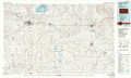 |
Hutchinson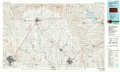 |
Emporia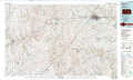 |
Pratt |
Wichita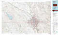 |
El Dorado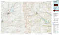 |
> Back to 38096a1 at 1:250,000 scale
> Back to U.S. Topo Maps home
1:24,000 Topo Quads covered by the spatial extent of this 100k map (Hutchinson)
|
Windom 
|
Windom Ne 
|
Mcpherson North 
|
Galva 
|
Canton 
|
Waldeck 
|
Durham 
|
Pilsen 
|
|
Windom Sw 
|
Conway 
|
Mcpherson South 
|
Mcpherson Se 
|
Canton Sw 
|
Lehigh 
|
Hillsboro 
|
Marion 
|
|
Hutchinson Nw 
|
Buhler 
|
Halstead Nw 
|
Moundridge 
|
Hesston 
|
Goessel 
|
Peabody Nw 
|
Peabody 
|
|
Hutchinson 
|
Hutchinson Se 
|
Burrton 
|
Halstead 
|
Zimmerdale 
|
Newton 
|
Elbing 
|
Peabody Se 
|