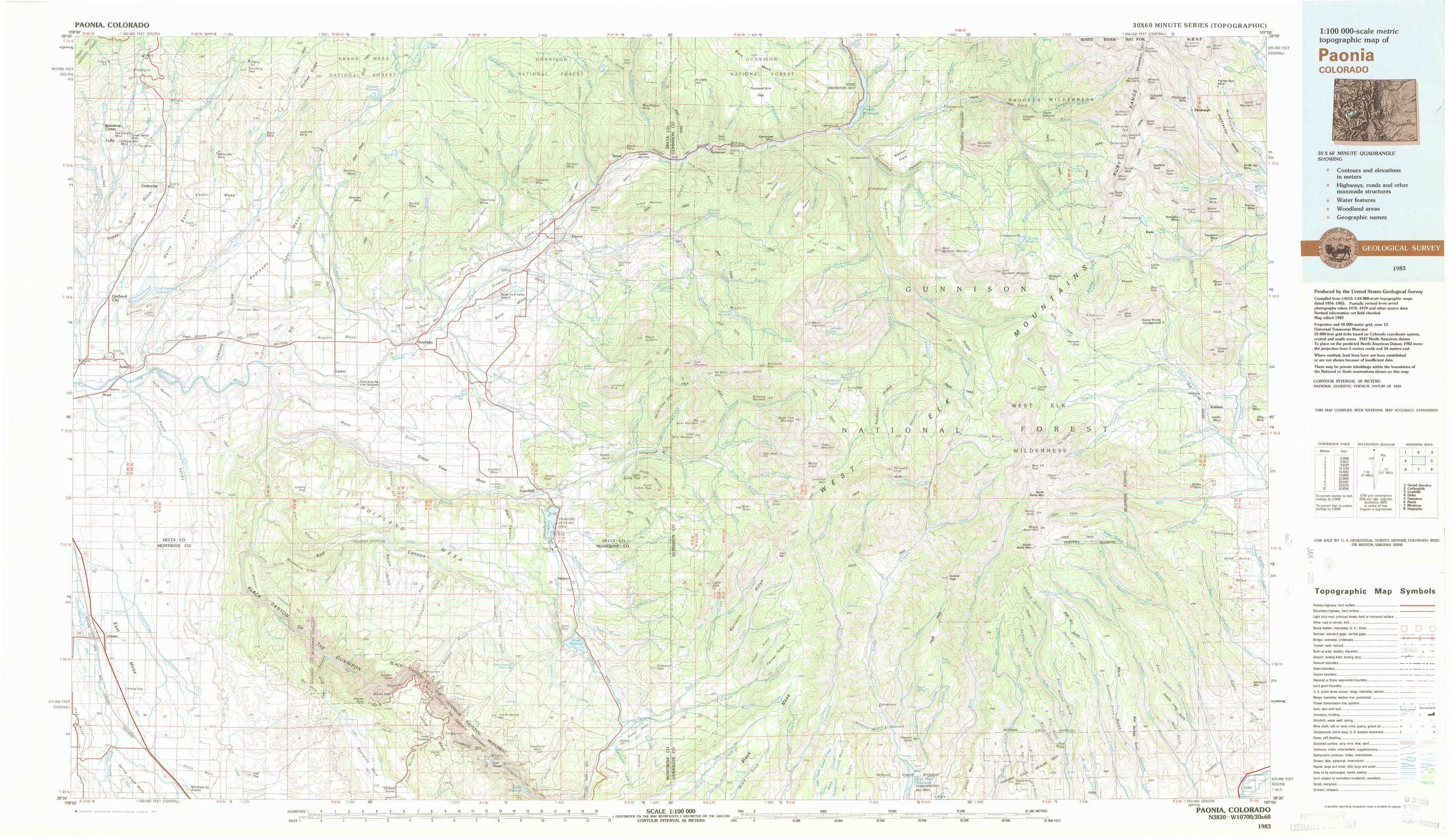
Paonia Topo Map Colorado
To zoom in, hover over the map of Paonia
USGS Topo Map 38107e1 - 1:100,000 scale
| Topo Map Name: | Paonia |
| USGS Topo Quad ID: | 38107e1 |
| Print Size: | ca. 39" wide x 24" high |
| Southeast Coordinates: | 38.5° N latitude / 107° W longitude |
| Map Center Coordinates: | 38.75° N latitude / 107.5° W longitude |
| U.S. State: | CO |
| Filename: | 38107e1.jpg |
| Download Map JPG Image: | Paonia topo map 1:100,000 scale |
| Map Type: | Topographic |
| Topo Series: | 30´x60´ |
| Map Scale: | 1:100,000 |
| Source of Map Images: | United States Geological Survey (USGS) |
| Alternate Map Versions: |
Paonia CO 1983, updated 1983 Download PDF Buy paper map Paonia CO 1983, updated 1983 Download PDF Buy paper map |
1:100,000 Topos surrounding Paonia
Grand Junction |
Carbondale |
Leadville |
Delta |
Paonia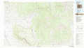 |
Gunnison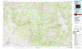 |
Nucla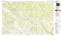 |
Montrose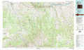 |
Saguache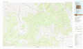 |
> Back to 38106a1 at 1:250,000 scale
> Back to U.S. Topo Maps home
1:24,000 Topo Quads covered by the spatial extent of this 100k map (Paonia)
|
Cedaredge 
|
Dry Creek 
|
Gray Reservoir 
|
Bowie 
|
Somerset 
|
Paonia Reservoir 
|
Marcellina Mountain 
|
Oh-Be-Joyful 
|
|
Orchard City 
|
Lazear 
|
Hotchkiss 
|
Paonia 
|
Minnesota Pass 
|
West Beckwith Mountain 
|
Anthracite Range 
|
Mount Axtell 
|
|
Olathe Nw 
|
Black Ridge 
|
Grand View Mesa 
|
Crawford 
|
Mount Guero 
|
Big Soap Park 
|
West Elk Peak 
|
Squirrel Creek 
|
|
Olathe 
|
Red Rock Canyon 
|
Grizzly Ridge 
|
Cathedral Peak 
|
X Lazy F Ranch 
|
Little Soap Park 
|
West Elk Peak Sw 
|
Mcintosh Mountain 
|