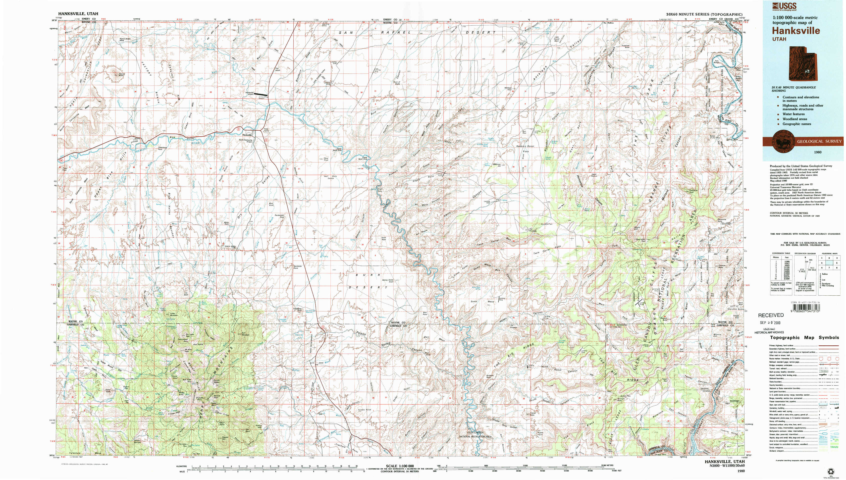
Hanksville Topo Map Utah
To zoom in, hover over the map of Hanksville
USGS Topo Map 38110a1 - 1:100,000 scale
| Topo Map Name: | Hanksville |
| USGS Topo Quad ID: | 38110a1 |
| Print Size: | ca. 39" wide x 24" high |
| Southeast Coordinates: | 38° N latitude / 110° W longitude |
| Map Center Coordinates: | 38.25° N latitude / 110.5° W longitude |
| U.S. State: | UT |
| Filename: | 38110a1.jpg |
| Download Map JPG Image: | Hanksville topo map 1:100,000 scale |
| Map Type: | Topographic |
| Topo Series: | 30´x60´ |
| Map Scale: | 1:100,000 |
| Source of Map Images: | United States Geological Survey (USGS) |
| Alternate Map Versions: |
Hanksville UT 1980, updated 1987 Download PDF Buy paper map Hanksville UT 1980, updated 1987 Download PDF Buy paper map |
1:100,000 Topos surrounding Hanksville
Salina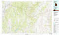 |
San Rafael Desert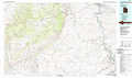 |
Moab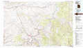 |
Loa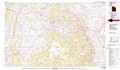 |
Hanksville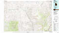 |
La Sal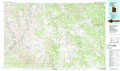 |
Escalante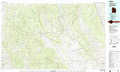 |
Hite Crossing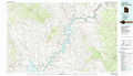 |
Blanding |
> Back to 38110a1 at 1:250,000 scale
> Back to U.S. Topo Maps home
1:24,000 Topo Quads covered by the spatial extent of this 100k map (Hanksville)
|
Factory Butte 
|
Skyline Rim 
|
The Notch 
|
Point Of Rocks West 
|
Point Of Rocks East 
|
Whitbeck Knoll 
|
Sugarloaf Butte 
|
Horsethief Canyon 
|
|
Town Point 
|
Steamboat Point 
|
Hanksville 
|
Angel Cove 
|
Angel Point 
|
Robbers Roost Flats 
|
Head Spur 
|
Cleopatras Chair 
|
|
Stevens Mesa 
|
Dry Lakes Peak 
|
Bull Mountain 
|
Baking Skillet Knoll 
|
Burr Point 
|
The Pinnacle 
|
Gordon Flats 
|
Elaterite Basin 
|
|
Steele Butte 
|
Mount Ellen 
|
Raggy Canyon 
|
Turkey Knob 
|
Stair Canyon 
|
Fiddler Butte 
|
Clearwater Canyon 
|
Teapot Rock 
|