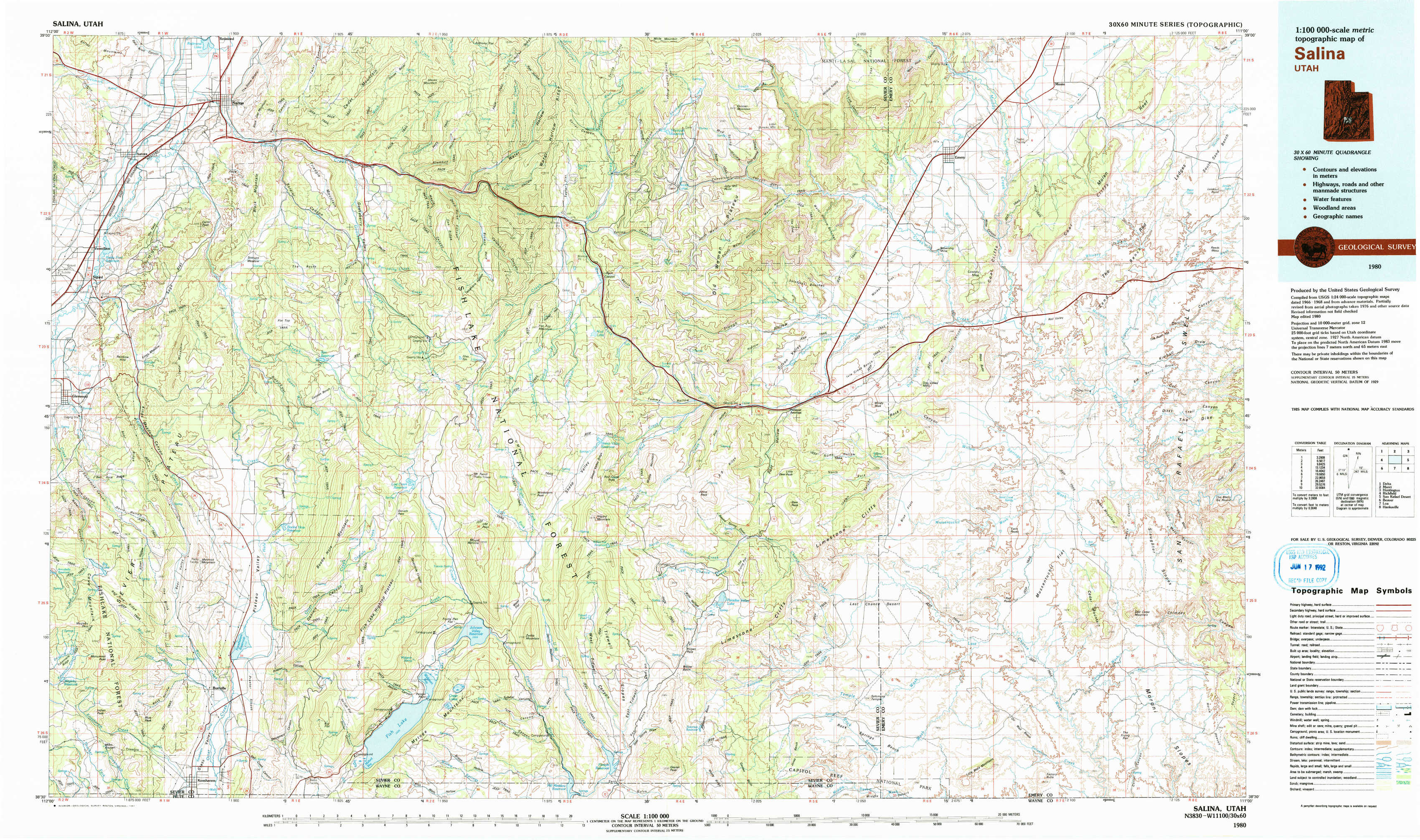
Salina Topo Map Utah
To zoom in, hover over the map of Salina
USGS Topo Map 38111e1 - 1:100,000 scale
| Topo Map Name: | Salina |
| USGS Topo Quad ID: | 38111e1 |
| Print Size: | ca. 39" wide x 24" high |
| Southeast Coordinates: | 38.5° N latitude / 111° W longitude |
| Map Center Coordinates: | 38.75° N latitude / 111.5° W longitude |
| U.S. State: | UT |
| Filename: | 38111e1.jpg |
| Download Map JPG Image: | Salina topo map 1:100,000 scale |
| Map Type: | Topographic |
| Topo Series: | 30´x60´ |
| Map Scale: | 1:100,000 |
| Source of Map Images: | United States Geological Survey (USGS) |
| Alternate Map Versions: |
Salina UT 1980, updated 1981 Download PDF Buy paper map Salina UT 1980, updated 1981 Download PDF Buy paper map |
1:100,000 Topos surrounding Salina
Delta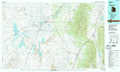 |
Manti |
Huntington |
Richfield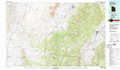 |
Salina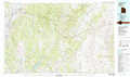 |
San Rafael Desert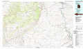 |
Beaver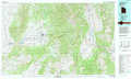 |
Loa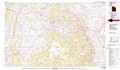 |
Hanksville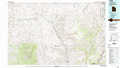 |
> Back to 38110a1 at 1:250,000 scale
> Back to U.S. Topo Maps home
1:24,000 Topo Quads covered by the spatial extent of this 100k map (Salina)
|
Aurora 
|
Salina 
|
Steves Mountain 
|
Water Hollow Ridge 
|
Acord Lakes 
|
Emery West 
|
Emery East 
|
Short Canyon 
|
|
Sigurd 
|
Rex Reservoir 
|
Gooseberry Creek 
|
Yogo Creek 
|
Old Woman Plateau 
|
Walker Flat 
|
Mesa Butte 
|
Big Bend Draw 
|
|
Water Creek Canyon 
|
Boobe Hole Reservoir 
|
Mount Terrill 
|
Hilgard Mountain 
|
Johns Peak 
|
Willow Springs 
|
Mussentuchit Flat 
|
Ireland Mesa 
|
|
Koosharem 
|
Burrville 
|
Fish Lake 
|
Forsyth Reservoir 
|
Geyser Peak 
|
Solomons Temple 
|
Salvation Creek 
|
The Frying Pan 
|