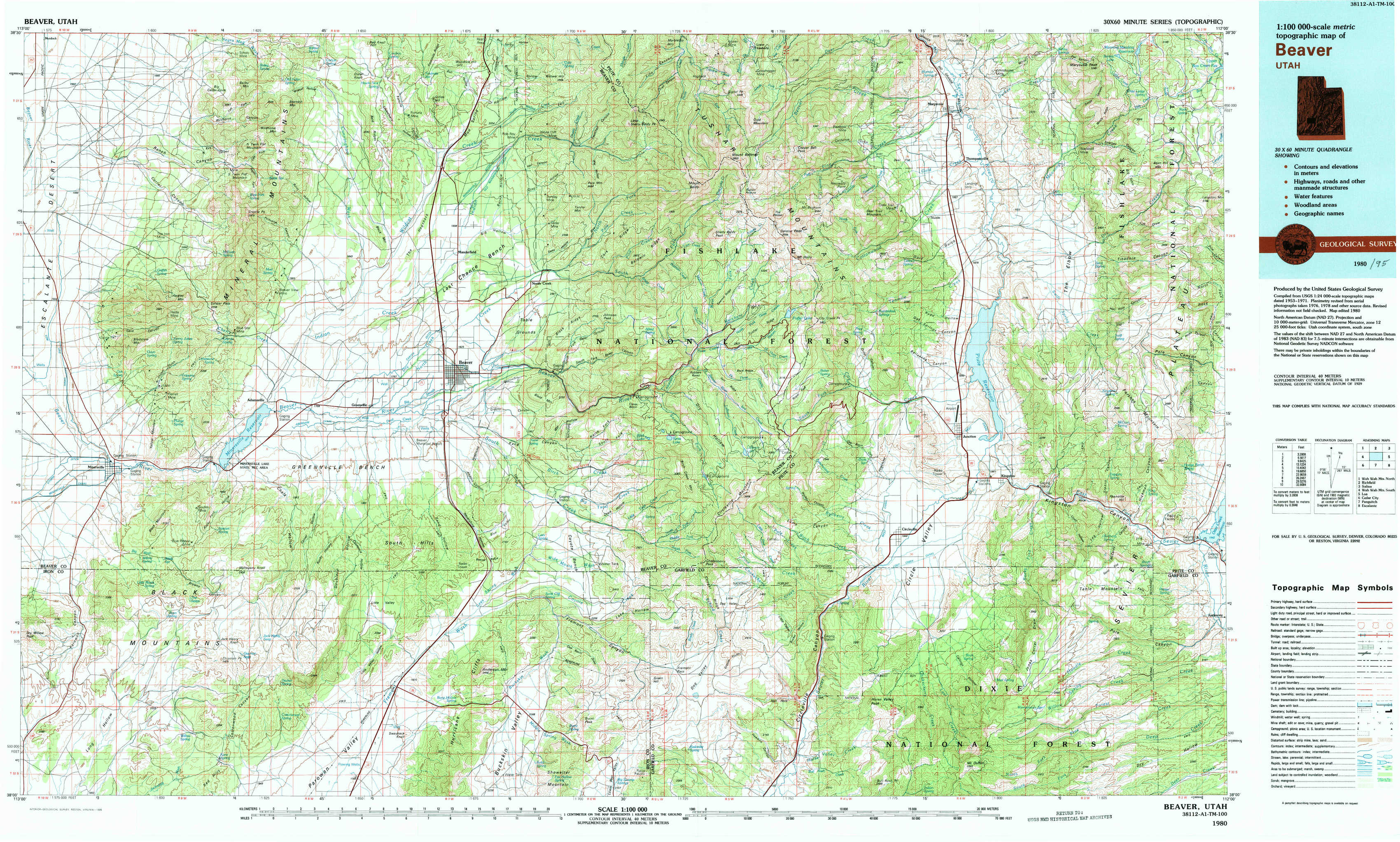
Beaver Topo Map Utah
To zoom in, hover over the map of Beaver
USGS Topo Map 38112a1 - 1:100,000 scale
| Topo Map Name: | Beaver |
| USGS Topo Quad ID: | 38112a1 |
| Print Size: | ca. 39" wide x 24" high |
| Southeast Coordinates: | 38° N latitude / 112° W longitude |
| Map Center Coordinates: | 38.25° N latitude / 112.5° W longitude |
| U.S. State: | UT |
| Filename: | 38112a1.jpg |
| Download Map JPG Image: | Beaver topo map 1:100,000 scale |
| Map Type: | Topographic |
| Topo Series: | 30´x60´ |
| Map Scale: | 1:100,000 |
| Source of Map Images: | United States Geological Survey (USGS) |
| Alternate Map Versions: |
Beaver UT 1980, updated 1981 Download PDF Buy paper map Beaver UT 1980, updated 1995 Download PDF Buy paper map |
1:100,000 Topos surrounding Beaver
Wah Wah Mountains North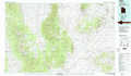 |
Richfield |
Salina |
Wah Wah Mountains South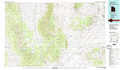 |
Beaver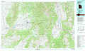 |
Loa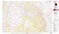 |
Cedar City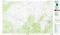 |
Panguitch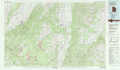 |
Escalante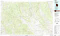 |
> Back to 38112a1 at 1:250,000 scale
> Back to U.S. Topo Maps home
1:24,000 Topo Quads covered by the spatial extent of this 100k map (Beaver)
|
Ranch Canyon 
|
Bearskin Mountain 
|
Gillies Hill 
|
Pole Mountain 
|
Mount Belknap 
|
Mount Brigham 
|
Marysvale 
|
Marysvale Peak 
|
|
Cave Canyon 
|
Adamsville 
|
Beaver 
|
Beaver Se 
|
Shelly Baldy Peak 
|
Delano Peak 
|
Piute Reservoir 
|
Malmsten Peak 
|
|
Minersville 
|
Minersville Reservoir 
|
Greenville Bench 
|
Kane Canyon 
|
Circleville Mountain 
|
Circleville 
|
Junction 
|
Phonolite Hill 
|
|
Dry Willow Peak 
|
Jack Henry Knoll 
|
Buckhorn Flat 
|
Burnt Peak 
|
Fremont Pass 
|
Bull Rush Peak 
|
Mount Dutton 
|
Deep Creek 
|