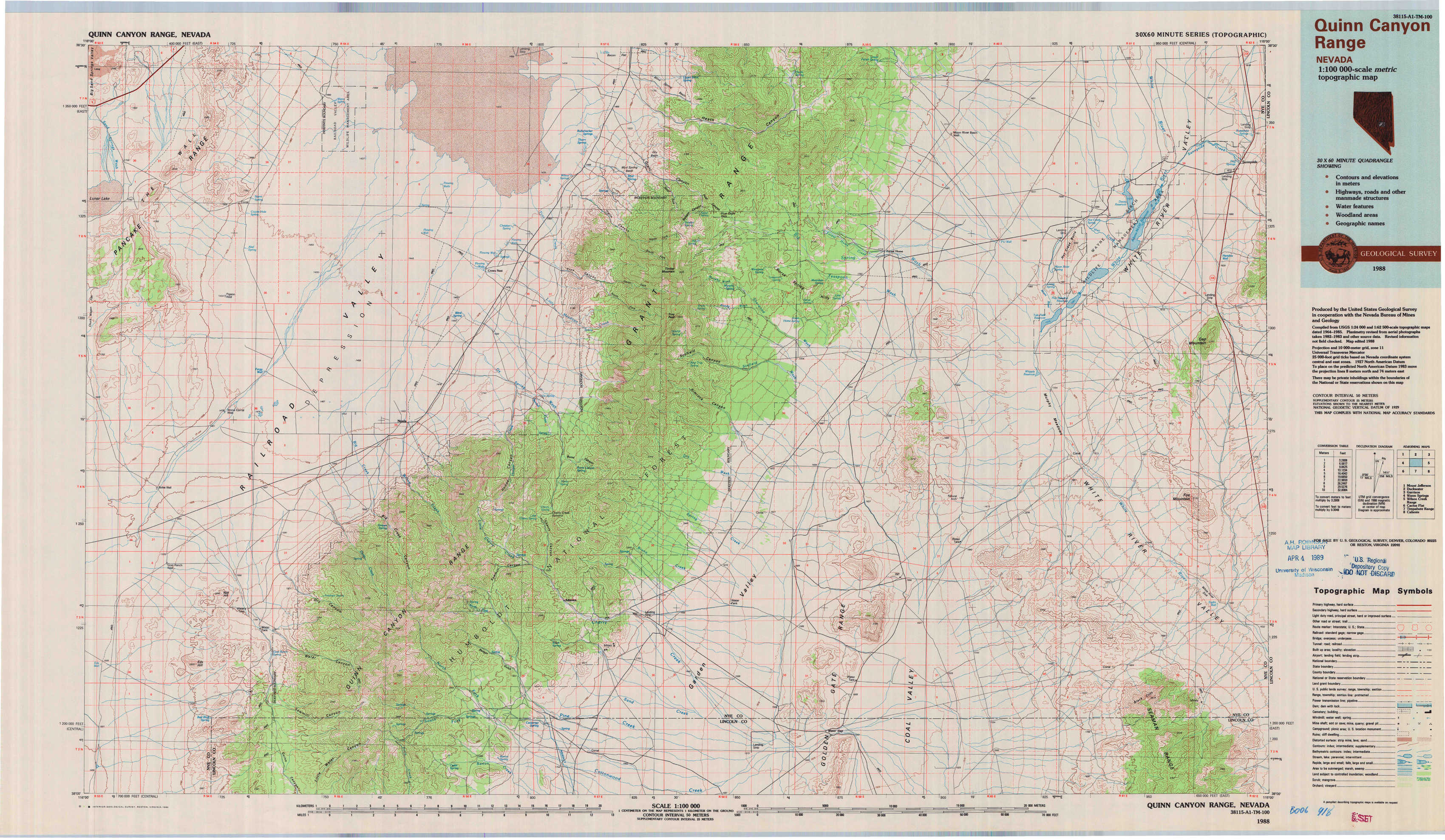
Quinn Canyon Range Topo Map Nevada
To zoom in, hover over the map of Quinn Canyon Range
USGS Topo Map 38115a1 - 1:100,000 scale
| Topo Map Name: | Quinn Canyon Range |
| USGS Topo Quad ID: | 38115a1 |
| Print Size: | ca. 39" wide x 24" high |
| Southeast Coordinates: | 38° N latitude / 115° W longitude |
| Map Center Coordinates: | 38.25° N latitude / 115.5° W longitude |
| U.S. State: | NV |
| Filename: | 38115a1.jpg |
| Download Map JPG Image: | Quinn Canyon Range topo map 1:100,000 scale |
| Map Type: | Topographic |
| Topo Series: | 30´x60´ |
| Map Scale: | 1:100,000 |
| Source of Map Images: | United States Geological Survey (USGS) |
| Alternate Map Versions: |
Quinn Canyon Range NV 1988, updated 1988 Download PDF Buy paper map |
1:100,000 Topos surrounding Quinn Canyon Range
Mount Jefferson |
Duckwater |
Garrison |
Warm Springs |
Quinn Canyon Range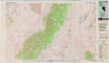 |
Wilson Creek Range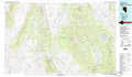 |
Cactus Flat |
Timpahute Range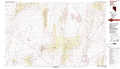 |
Caliente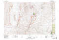 |
> Back to 38114a1 at 1:250,000 scale
> Back to U.S. Topo Maps home
1:24,000 Topo Quads covered by the spatial extent of this 100k map (Quinn Canyon Range)
|
The Wall 
|
The Wall Ne 
|
Christian Spring 
|
Bullwhacker Springs 
|
Heath Canyon 
|
Forest Home Ne 
|
Sunnyside Nw 
|
Sunnyside 
|
|
The Wall Sw 
|
The Wall Se 
|
Crows Nest 
|
Troy Canyon 
|
Horse Spring Hills 
|
Forest Home 
|
Hot Creek Butte 
|
Gap Mountain 
|
|
Goat Ranch Well 
|
Big Creek Ranch 
|
Nyala 
|
Adaven 
|
Water Gap Nw 
|
Water Gap Ne 
|
Timber Mountain Pass Nw 
|
Timber Mountain Pass Ne 
|
|
Eds Well 
|
Goat Ranch Springs 
|
Badger Gulch 
|
Wadsworth Ranch 
|
Water Gap West 
|
Water Gap East 
|
Timber Mountain Pass West 
|
Timber Mountain Pass East 
|