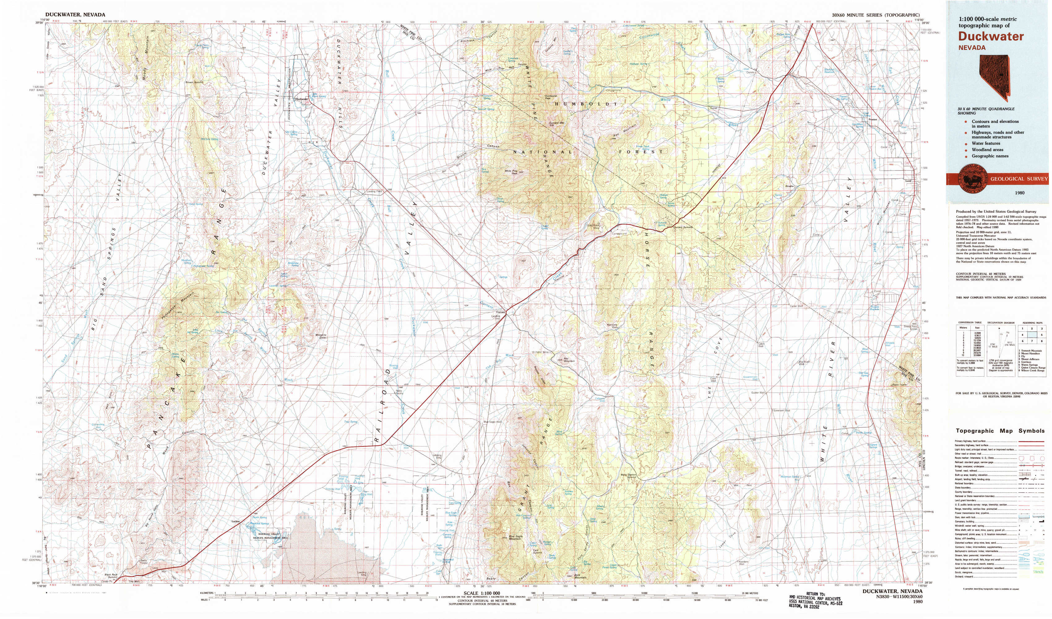
Duckwater Topo Map Nevada
To zoom in, hover over the map of Duckwater
USGS Topo Map 38115e1 - 1:100,000 scale
| Topo Map Name: | Duckwater |
| USGS Topo Quad ID: | 38115e1 |
| Print Size: | ca. 39" wide x 24" high |
| Southeast Coordinates: | 38.5° N latitude / 115° W longitude |
| Map Center Coordinates: | 38.75° N latitude / 115.5° W longitude |
| U.S. State: | NV |
| Filename: | 38115e1.jpg |
| Download Map JPG Image: | Duckwater topo map 1:100,000 scale |
| Map Type: | Topographic |
| Topo Series: | 30´x60´ |
| Map Scale: | 1:100,000 |
| Source of Map Images: | United States Geological Survey (USGS) |
| Alternate Map Versions: |
Duckwater NV 1980, updated 1981 Download PDF Buy paper map Duckwater NV 1980, updated 1981 Download PDF Buy paper map |
1:100,000 Topos surrounding Duckwater
Summit Mountain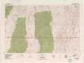 |
Mount Hamilton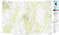 |
Ely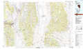 |
Mount Jefferson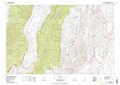 |
Duckwater |
Garrison |
Warm Springs |
Quinn Canyon Range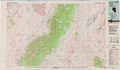 |
Wilson Creek Range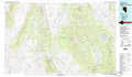 |
> Back to 38114a1 at 1:250,000 scale
> Back to U.S. Topo Maps home
1:24,000 Topo Quads covered by the spatial extent of this 100k map (Duckwater)
|
Brown Summit Nw 
|
Brown Summit 
|
Duckwater 
|
Duckwater Ne 
|
Currant Mountain 
|
Horse Track Spring 
|
Badger Hole Spring 
|
Preston 
|
|
Brown Summit Sw 
|
Sand Spring 
|
Bradshaw Spring 
|
Duckwater Se 
|
White Pine Peak 
|
Currant Summit 
|
Douglas 
|
Lund 
|
|
Portuguese Mountain Nw 
|
Portuguese Mountain 
|
Meteorite Crater 
|
Blue Eagle Springs Ne 
|
Currant 
|
Callaway Well 
|
Moorman Spring Nw 
|
Hardy Springs 
|
|
Black Rock Summit 
|
Lockes 
|
Blue Eagle Springs Sw 
|
Blue Eagle Springs 
|
Blue Eagle Mountain 
|
Wells Station 
|
Moorman Spring 
|
Moorman Spring Se 
|