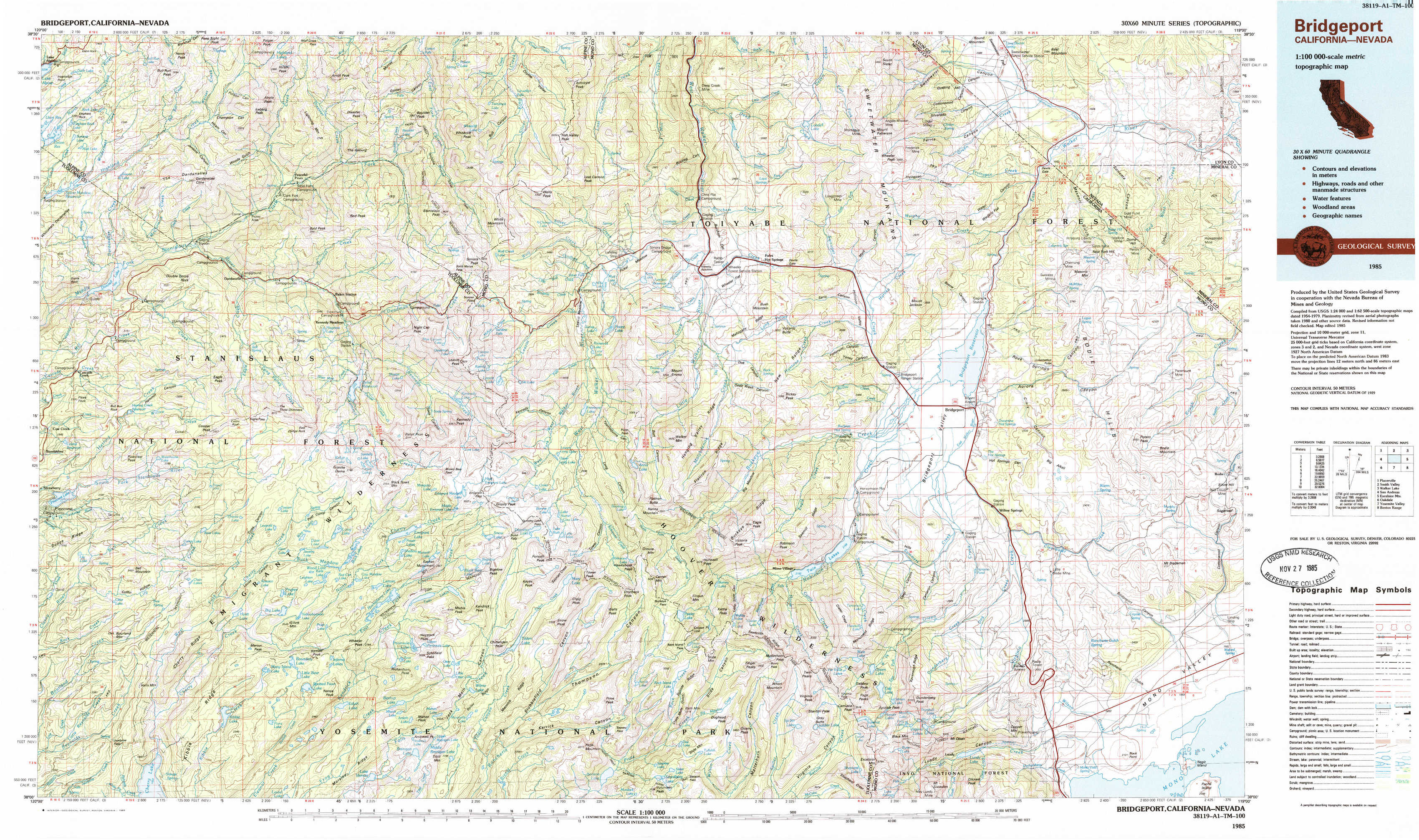
Bridgeport Topo Map California
To zoom in, hover over the map of Bridgeport
USGS Topo Map 38119a1 - 1:100,000 scale
| Topo Map Name: | Bridgeport |
| USGS Topo Quad ID: | 38119a1 |
| Print Size: | ca. 39" wide x 24" high |
| Southeast Coordinates: | 38° N latitude / 119° W longitude |
| Map Center Coordinates: | 38.25° N latitude / 119.5° W longitude |
| U.S. States: | CA, NV |
| Filename: | 38119a1.jpg |
| Download Map JPG Image: | Bridgeport topo map 1:100,000 scale |
| Map Type: | Topographic |
| Topo Series: | 30´x60´ |
| Map Scale: | 1:100,000 |
| Source of Map Images: | United States Geological Survey (USGS) |
| Alternate Map Versions: |
Bridgeport CA 1985, updated 1985 Download PDF Buy paper map |
1:100,000 Topos surrounding Bridgeport
Placerville |
Smith Valley |
Walker Lake |
San Andreas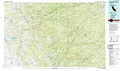 |
Bridgeport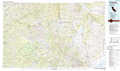 |
Excelsior Mountains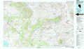 |
Oakdale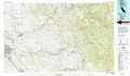 |
Yosemite Valley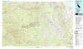 |
Benton Range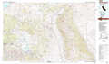 |
> Back to 38118a1 at 1:250,000 scale
> Back to U.S. Topo Maps home
1:24,000 Topo Quads covered by the spatial extent of this 100k map (Bridgeport)
|
Spicer Meadow Res 
|
Dardanelles Cone 
|
Disaster Peak 
|
Lost Cannon Peak 
|
Chris Flat 
|
Mount Patterson 
|
Sweetwater Creek 
|
The Elbow 
|
|
Donnell Lake 
|
Dardanelle 
|
Sonora Pass 
|
Pickel Meadow 
|
Fales Hot Springs 
|
Mount Jackson 
|
Bridgeport 
|
Dome Hill 
|
|
Pinecrest 
|
Cooper Peak 
|
Emigrant Lake 
|
Tower Peak 
|
Buckeye Ridge 
|
Twin Lakes 
|
Big Alkali 
|
Bodie 
|
|
Cherry Lake North 
|
Kibbie Lake 
|
Tiltill Mountain 
|
Piute Mountain 
|
Matterhorn Peak 
|
Dunderberg Peak 
|
Lundy 
|
Negit Island 
|