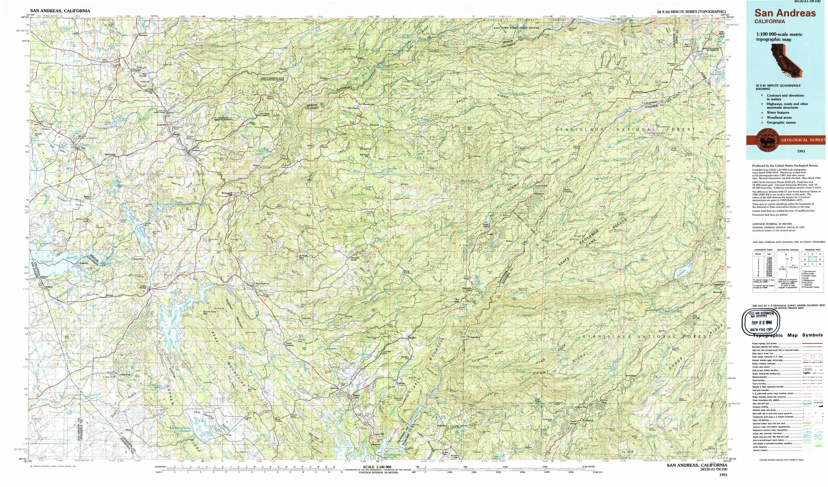
San Andreas Topo Map California
To zoom in, hover over the map of San Andreas
USGS Topo Map 38120a1 - 1:100,000 scale
| Topo Map Name: | San Andreas |
| USGS Topo Quad ID: | 38120a1 |
| Print Size: | ca. 39" wide x 24" high |
| Southeast Coordinates: | 38° N latitude / 120° W longitude |
| Map Center Coordinates: | 38.25° N latitude / 120.5° W longitude |
| U.S. State: | CA |
| Filename: | 38120a1.jpg |
| Download Map JPG Image: | San Andreas topo map 1:100,000 scale |
| Map Type: | Topographic |
| Topo Series: | 30´x60´ |
| Map Scale: | 1:100,000 |
| Source of Map Images: | United States Geological Survey (USGS) |
| Alternate Map Versions: |
San Andreas CA 1993, updated 1994 Download PDF Buy paper map |
1:100,000 Topos surrounding San Andreas
Sacramento |
Placerville |
Smith Valley |
Lodi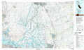 |
San Andreas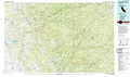 |
Bridgeport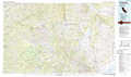 |
Stockton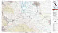 |
Oakdale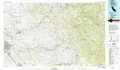 |
Yosemite Valley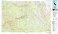 |
> Back to 38120a1 at 1:250,000 scale
> Back to U.S. Topo Maps home
1:24,000 Topo Quads covered by the spatial extent of this 100k map (San Andreas)
|
Irish Hill 
|
Amador City 
|
Pine Grove 
|
West Point 
|
Devils Nose 
|
Garnet Hill 
|
Calaveras Dome 
|
Tamarack 
|
|
Ione 
|
Jackson 
|
Mokelumne Hill 
|
Rail Road Flat 
|
Fort Mountain 
|
Dorrington 
|
Boards Crossing 
|
Liberty Hill 
|
|
Wallace 
|
Valley Springs 
|
San Andreas 
|
Calaveritas 
|
Murphys 
|
Stanislaus 
|
Crandall Peak 
|
Strawberry 
|
|
Valley Springs Sw 
|
Jenny Lind 
|
Salt Spring Valley 
|
Angels Camp 
|
Columbia 
|
Columbia Se 
|
Twain Harte 
|
Hull Creek 
|