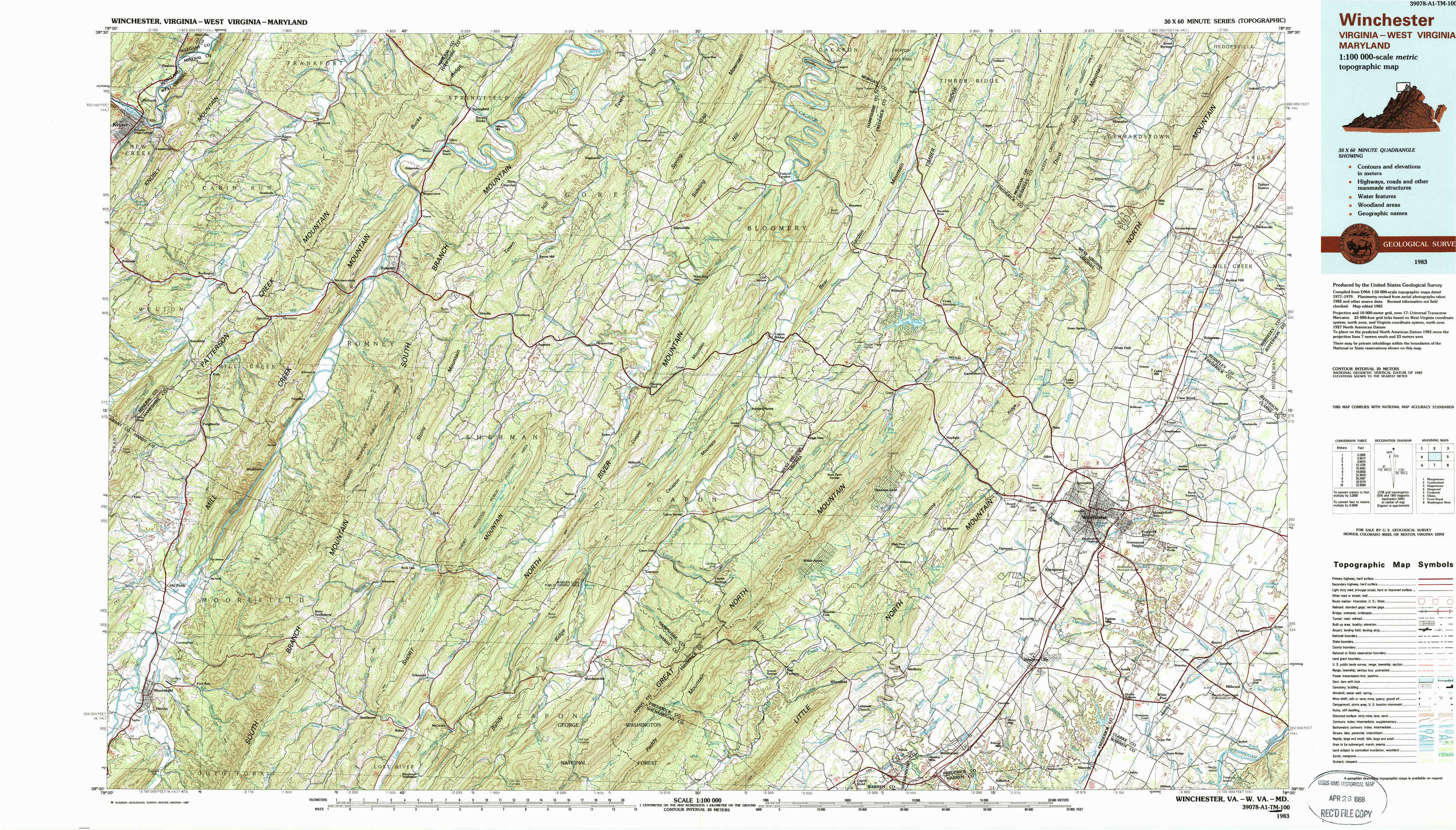
Winchester Topo Map Virginia
To zoom in, hover over the map of Winchester
USGS Topo Map 39078a1 - 1:100,000 scale
| Topo Map Name: | Winchester |
| USGS Topo Quad ID: | 39078a1 |
| Print Size: | ca. 39" wide x 24" high |
| Southeast Coordinates: | 39° N latitude / 78° W longitude |
| Map Center Coordinates: | 39.25° N latitude / 78.5° W longitude |
| U.S. States: | VA, WV, MD |
| Filename: | 39078a1.jpg |
| Download Map JPG Image: | Winchester topo map 1:100,000 scale |
| Map Type: | Topographic |
| Topo Series: | 30´x60´ |
| Map Scale: | 1:100,000 |
| Source of Map Images: | United States Geological Survey (USGS) |
| Alternate Map Versions: |
Winchester VA 1983, updated 1985 Download PDF Buy paper map Winchester VA 1983, updated 1987 Download PDF Buy paper map Winchester VA 1983, updated 1987 Download PDF Buy paper map |
1:100,000 Topos surrounding Winchester
Morgantown |
Cumberland |
Hagerstown |
Kingwood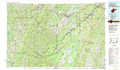 |
Winchester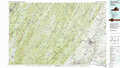 |
Frederick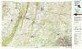 |
Elkins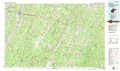 |
Front Royal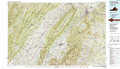 |
Washington West |
> Back to 39078a1 at 1:250,000 scale
> Back to U.S. Topo Maps home
1:24,000 Topo Quads covered by the spatial extent of this 100k map (Winchester)
|
Keyser 
|
Headsville 
|
Springfield 
|
Levels 
|
Largent 
|
Ridge 
|
Glengary 
|
Tablers Station 
|
|
Burlington 
|
Romney 
|
Augusta 
|
Hanging Rock 
|
Capon Bridge 
|
Gore 
|
White Hall 
|
Inwood 
|
|
Old Fields 
|
Sector 
|
Rio 
|
Yellow Spring 
|
Capon Springs 
|
Hayfield 
|
Winchester 
|
Stephenson 
|
|
Moorefield 
|
Needmore 
|
Baker 
|
Wardensville 
|
Mountain Falls 
|
Middletown 
|
Stephens City 
|
Boyce 
|