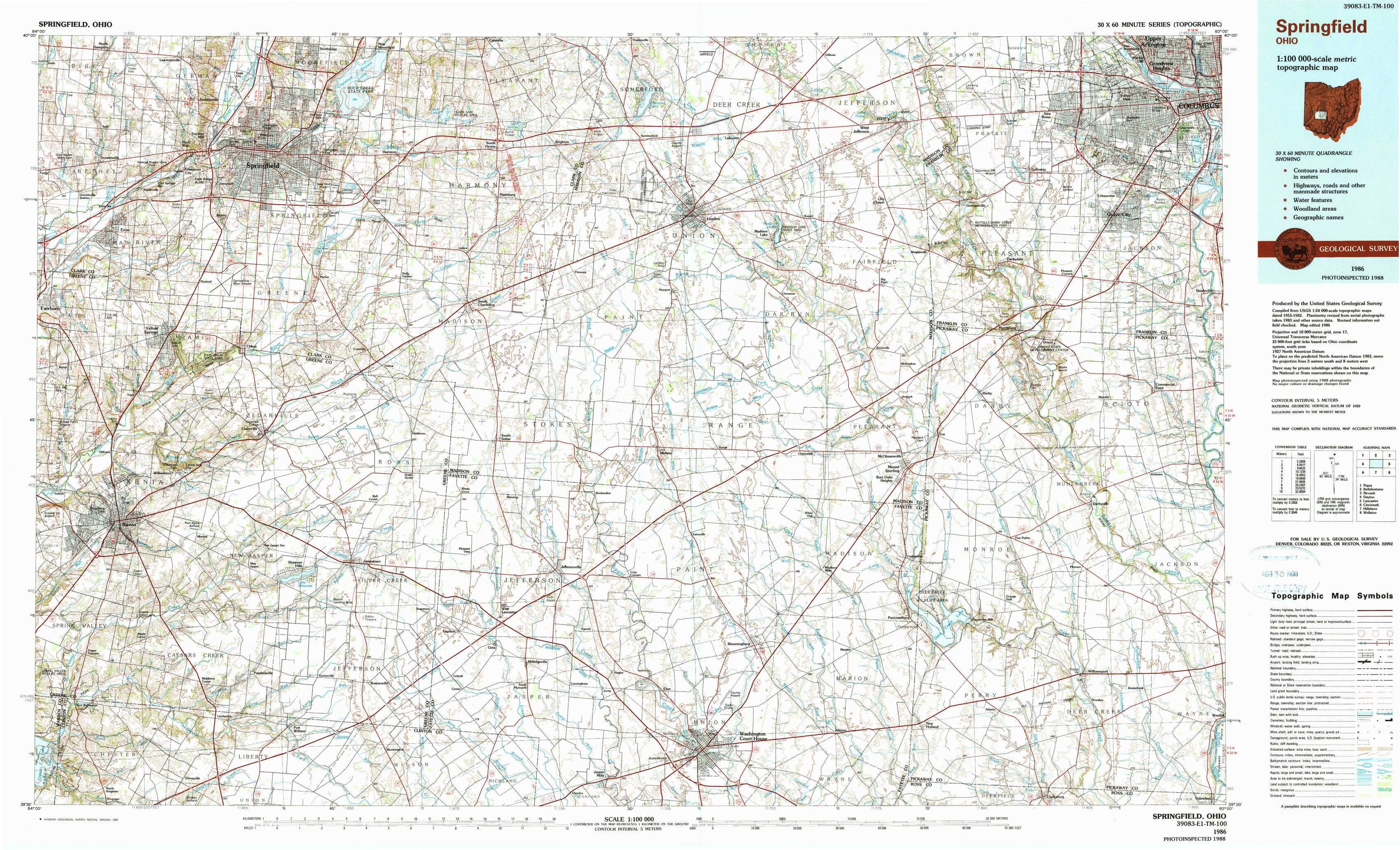
Springfield Topo Map Ohio
To zoom in, hover over the map of Springfield
USGS Topo Map 39083e1 - 1:100,000 scale
| Topo Map Name: | Springfield |
| USGS Topo Quad ID: | 39083e1 |
| Print Size: | ca. 39" wide x 24" high |
| Southeast Coordinates: | 39.5° N latitude / 83° W longitude |
| Map Center Coordinates: | 39.75° N latitude / 83.5° W longitude |
| U.S. State: | OH |
| Filename: | 39083e1.jpg |
| Download Map JPG Image: | Springfield topo map 1:100,000 scale |
| Map Type: | Topographic |
| Topo Series: | 30´x60´ |
| Map Scale: | 1:100,000 |
| Source of Map Images: | United States Geological Survey (USGS) |
| Alternate Map Versions: |
Springfield OH 1986, updated 1986 Download PDF Buy paper map Springfield OH 1986, updated 1990 Download PDF Buy paper map |
1:100,000 Topos surrounding Springfield
Piqua |
Bellefontaine |
Newark |
Dayton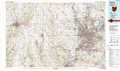 |
Springfield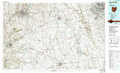 |
Lancaster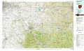 |
Cincinnati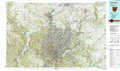 |
Hillsboro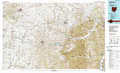 |
Wellston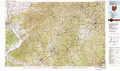 |
> Back to 39082a1 at 1:250,000 scale
> Back to U.S. Topo Maps home
1:24,000 Topo Quads covered by the spatial extent of this 100k map (Springfield)
|
Donnelsville 
|
Springfield 
|
New Moorefield 
|
South Vienna 
|
London 
|
West Jefferson 
|
Galloway 
|
Southwest Columbus 
|
|
Yellow Springs 
|
Clifton 
|
South Charleston 
|
Florence 
|
Walnut Run 
|
Big Plain 
|
Harrisburg 
|
Commercial Point 
|
|
Xenia 
|
Cedarville 
|
Jamestown 
|
Jeffersonville 
|
Midway 
|
Mount Sterling 
|
Five Points 
|
Darbyville 
|
|
New Burlington 
|
Port William 
|
Bowersville 
|
Milledgeville 
|
Washington Court House 
|
New Holland 
|
Clarksburg 
|
Williamsport 
|