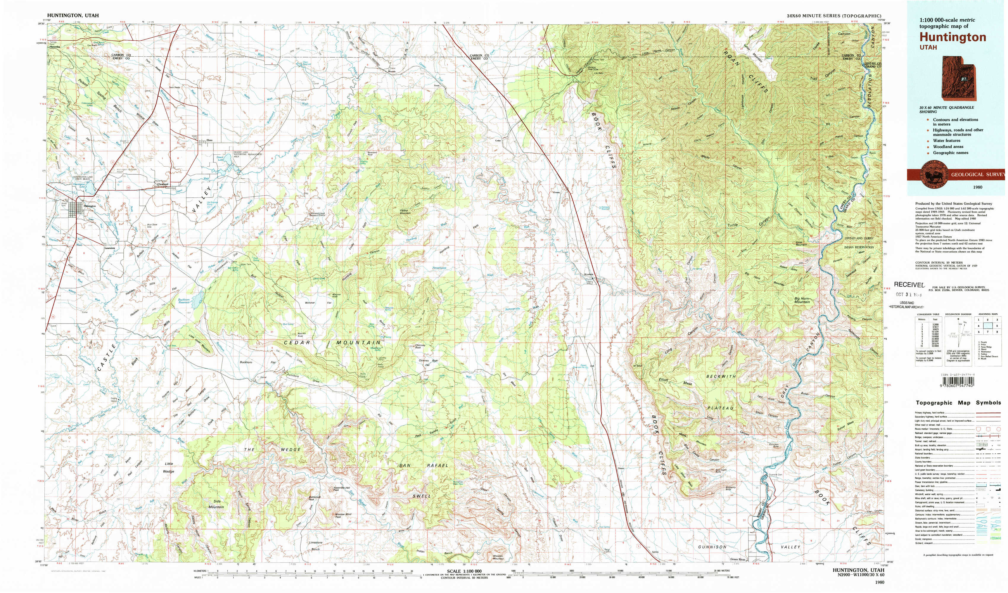
Huntington Topo Map Utah
To zoom in, hover over the map of Huntington
USGS Topo Map 39110a1 - 1:100,000 scale
| Topo Map Name: | Huntington |
| USGS Topo Quad ID: | 39110a1 |
| Print Size: | ca. 39" wide x 24" high |
| Southeast Coordinates: | 39° N latitude / 110° W longitude |
| Map Center Coordinates: | 39.25° N latitude / 110.5° W longitude |
| U.S. State: | UT |
| Filename: | 39110a1.jpg |
| Download Map JPG Image: | Huntington topo map 1:100,000 scale |
| Map Type: | Topographic |
| Topo Series: | 30´x60´ |
| Map Scale: | 1:100,000 |
| Source of Map Images: | United States Geological Survey (USGS) |
| Alternate Map Versions: |
Huntington UT 1980, updated 1981 Download PDF Buy paper map |
1:100,000 Topos surrounding Huntington
Nephi |
Price |
Seep Ridge |
Manti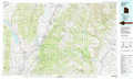 |
Huntington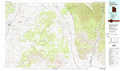 |
Westwater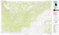 |
Salina |
San Rafael Desert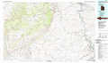 |
Moab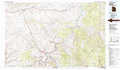 |
> Back to 39110a1 at 1:250,000 scale
> Back to U.S. Topo Maps home
1:24,000 Topo Quads covered by the spatial extent of this 100k map (Huntington)
|
Poison Spring Bench 
|
Elmo 
|
Olsen Reservoir 
|
Mounds 
|
Cedar 
|
Lila Point 
|
Lighthouse Canyon 
|
Chandler Falls 
|
|
Huntington 
|
Cleveland 
|
Cow Flats 
|
Flattop Mountain 
|
Grassy 
|
Woodside 
|
Turtle Canyon 
|
Three Fords Canyon 
|
|
Hadden Holes 
|
Buckhorn Reservoir 
|
Bob Hill Knoll 
|
Chimney Rock 
|
Dry Mesa 
|
Cliff 
|
Jenny Canyon 
|
Butler Canyon 
|
|
Horn Silver Gulch 
|
Sids Mountain 
|
Bottleneck Peak 
|
Devils Hole 
|
Mexican Mountain 
|
Desert 
|
Blue Castle Butte 
|
Tusher Canyon 
|