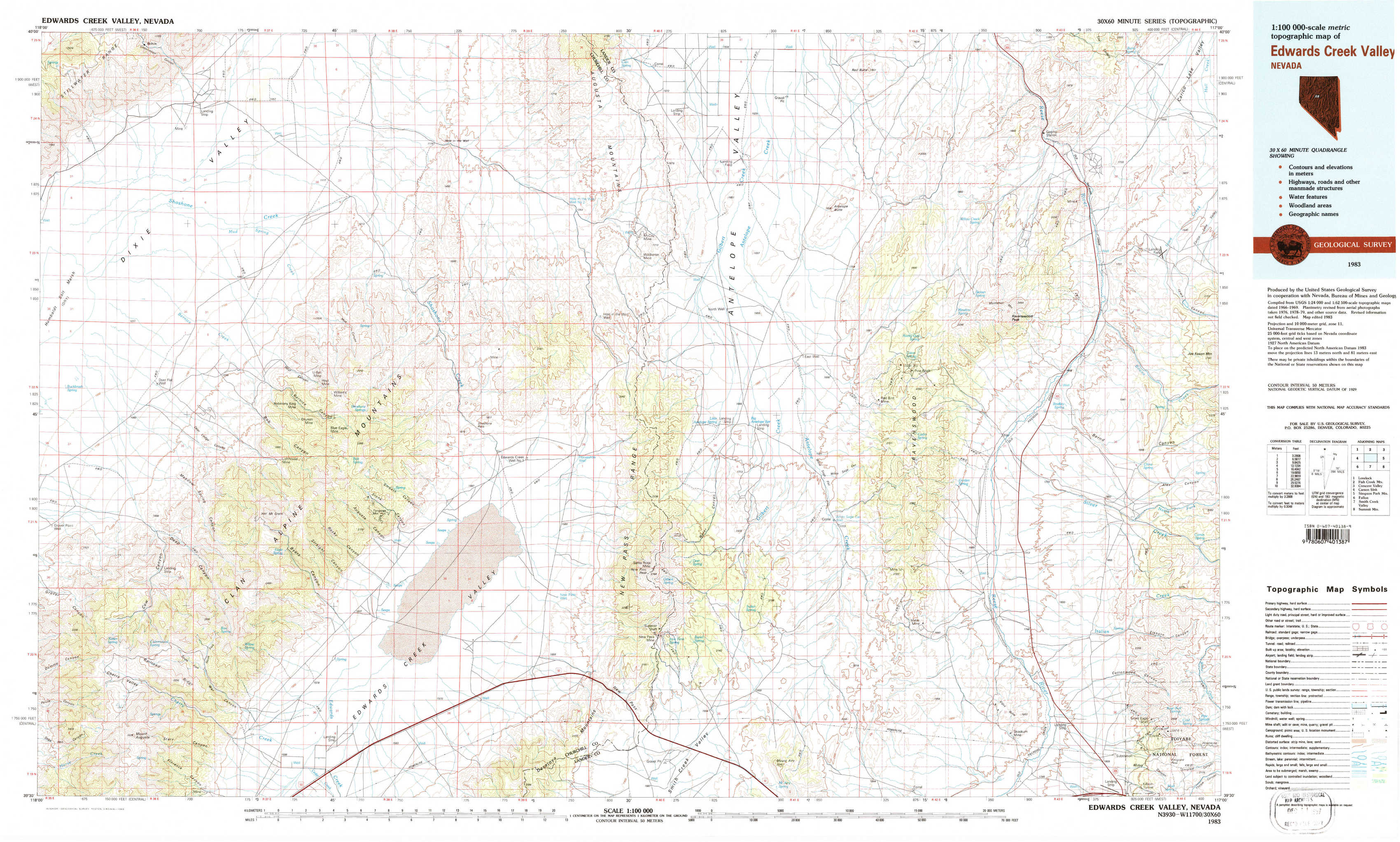
Edwards Creek Valley Topo Map Nevada
To zoom in, hover over the map of Edwards Creek Valley
USGS Topo Map 39117e1 - 1:100,000 scale
| Topo Map Name: | Edwards Creek Valley |
| USGS Topo Quad ID: | 39117e1 |
| Print Size: | ca. 39" wide x 24" high |
| Southeast Coordinates: | 39.5° N latitude / 117° W longitude |
| Map Center Coordinates: | 39.75° N latitude / 117.5° W longitude |
| U.S. State: | NV |
| Filename: | 39117e1.jpg |
| Download Map JPG Image: | Edwards Creek Valley topo map 1:100,000 scale |
| Map Type: | Topographic |
| Topo Series: | 30´x60´ |
| Map Scale: | 1:100,000 |
| Source of Map Images: | United States Geological Survey (USGS) |
| Alternate Map Versions: |
Edwards Creek Valley NV 1983, updated 1983 Download PDF Buy paper map |
1:100,000 Topos surrounding Edwards Creek Valley
Lovelock |
Fish Creek Mountains |
Crescent Valley |
Carson Sink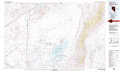 |
Edwards Creek Valley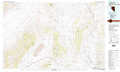 |
Simpson Park Mountains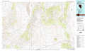 |
Fallon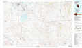 |
Smith Creek Valley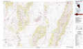 |
Summit Mountain |
> Back to 39116a1 at 1:250,000 scale
> Back to U.S. Topo Maps home
1:24,000 Topo Quads covered by the spatial extent of this 100k map (Edwards Creek Valley)
|
Bolivia 
|
Boyer Ranch 
|
Hole In The Wall 
|
Shoshone Meadows Ne 
|
Gilbert Creek Nw 
|
Gilbert Creek Ne 
|
Manhattan Mountain Nw 
|
Manhattan Mountain Ne 
|
|
Humboldt Salt Marsh 
|
Bernice Canyon 
|
Shoshone Meadows 
|
Shoshone Meadows Se 
|
Gilbert Creek Sw 
|
Gilbert Creek Se 
|
Manhattan Mountain 
|
Joe Eason Mountain 
|
|
Cow Canyon 
|
Byers Canyon 
|
Tungsten Mountain 
|
New Pass Well 
|
New Pass Peak 
|
Mount Airy Ne 
|
Vigus Butte Nw 
|
Vigus Butte Ne 
|
|
Mount Augusta 
|
Clan Alpine Ranch 
|
Byers Ranch 
|
New Pass 
|
Mount Airy 
|
Mount Airy Mesa 
|
Vigus Butte 
|
Yankee Blade 
|