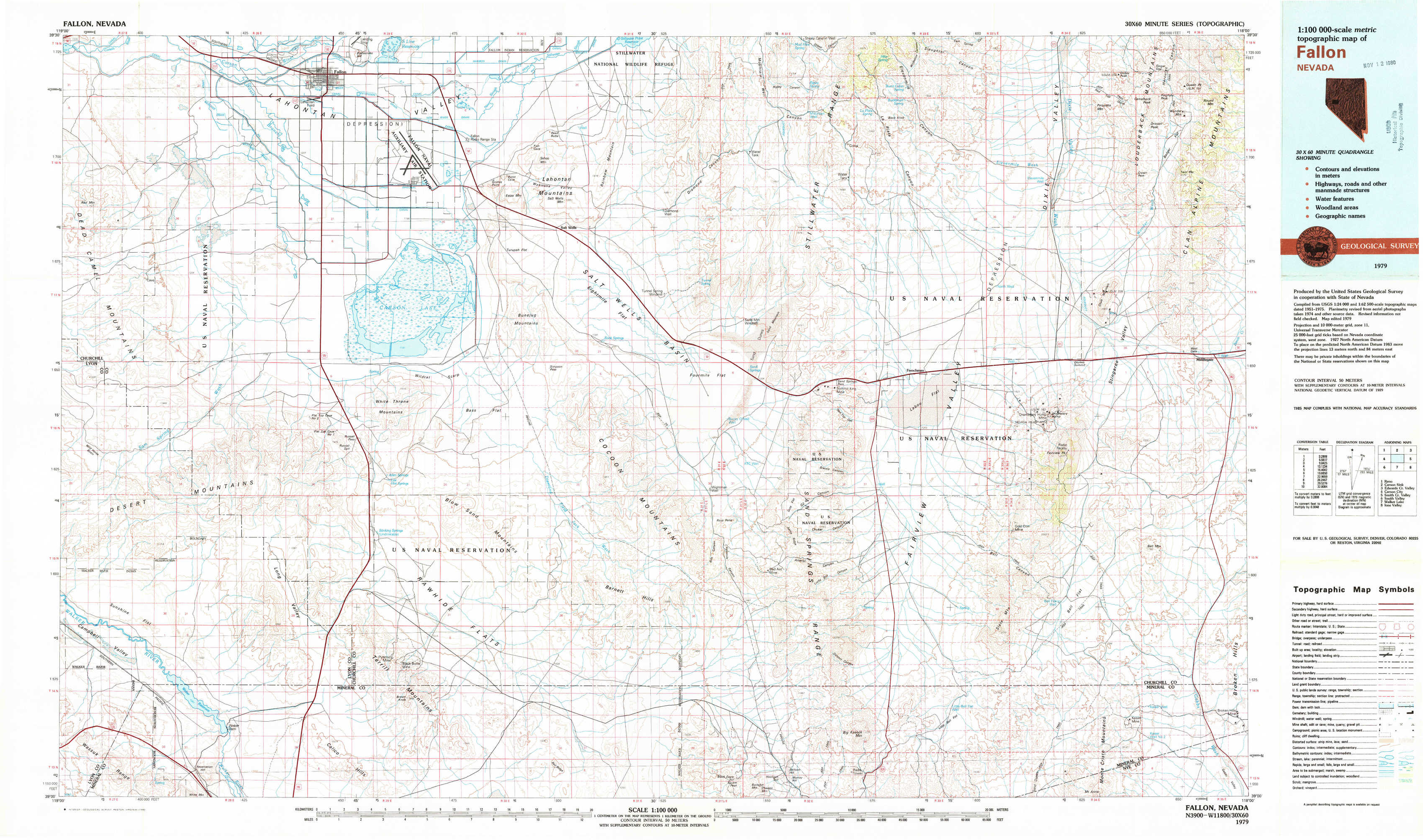
Fallon Topo Map Nevada
To zoom in, hover over the map of Fallon
USGS Topo Map 39118a1 - 1:100,000 scale
| Topo Map Name: | Fallon |
| USGS Topo Quad ID: | 39118a1 |
| Print Size: | ca. 39" wide x 24" high |
| Southeast Coordinates: | 39° N latitude / 118° W longitude |
| Map Center Coordinates: | 39.25° N latitude / 118.5° W longitude |
| U.S. State: | NV |
| Filename: | 39118a1.jpg |
| Download Map JPG Image: | Fallon topo map 1:100,000 scale |
| Map Type: | Topographic |
| Topo Series: | 30´x60´ |
| Map Scale: | 1:100,000 |
| Source of Map Images: | United States Geological Survey (USGS) |
| Alternate Map Versions: |
Fallon NV 1979, updated 1980 Download PDF Buy paper map Fallon NV 1979, updated 1980 Download PDF Buy paper map |
1:100,000 Topos surrounding Fallon
Reno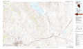 |
Carson Sink |
Edwards Creek Valley |
Carson City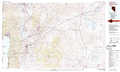 |
Fallon |
Smith Creek Valley |
Smith Valley |
Walker Lake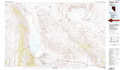 |
Ione Valley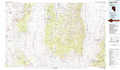 |
> Back to 39118a1 at 1:250,000 scale
> Back to U.S. Topo Maps home
1:24,000 Topo Quads covered by the spatial extent of this 100k map (Fallon)
|
Sheckler Reservoir 
|
Fallon 
|
Grimes Point 
|
Lahontan Mountains 
|
Diamond Canyon 
|
La Plata Canyon 
|
Pirouette Mountain 
|
Wonder Mountain 
|
|
Salt Cave 
|
South Of Fallon 
|
Carson Lake 
|
Bunejug Mountains 
|
Fourmile Flat 
|
Frenchman 
|
Drumm Summit 
|
West Gate 
|
|
Wild Horse Basin 
|
Russell Spit 
|
Allen Springs 
|
Diamond Field Jack Wash 
|
Fourmile Canyon 
|
Chukar Canyon 
|
Bell Canyon 
|
Bell Mountain 
|
|
Weber Reservoir 
|
Weber Dam 
|
Terrill Mountains 
|
Red Ridge 
|
Rawhide 
|
Big Kasock Mountain 
|
Slate Mountain 
|
Broken Hills 
|