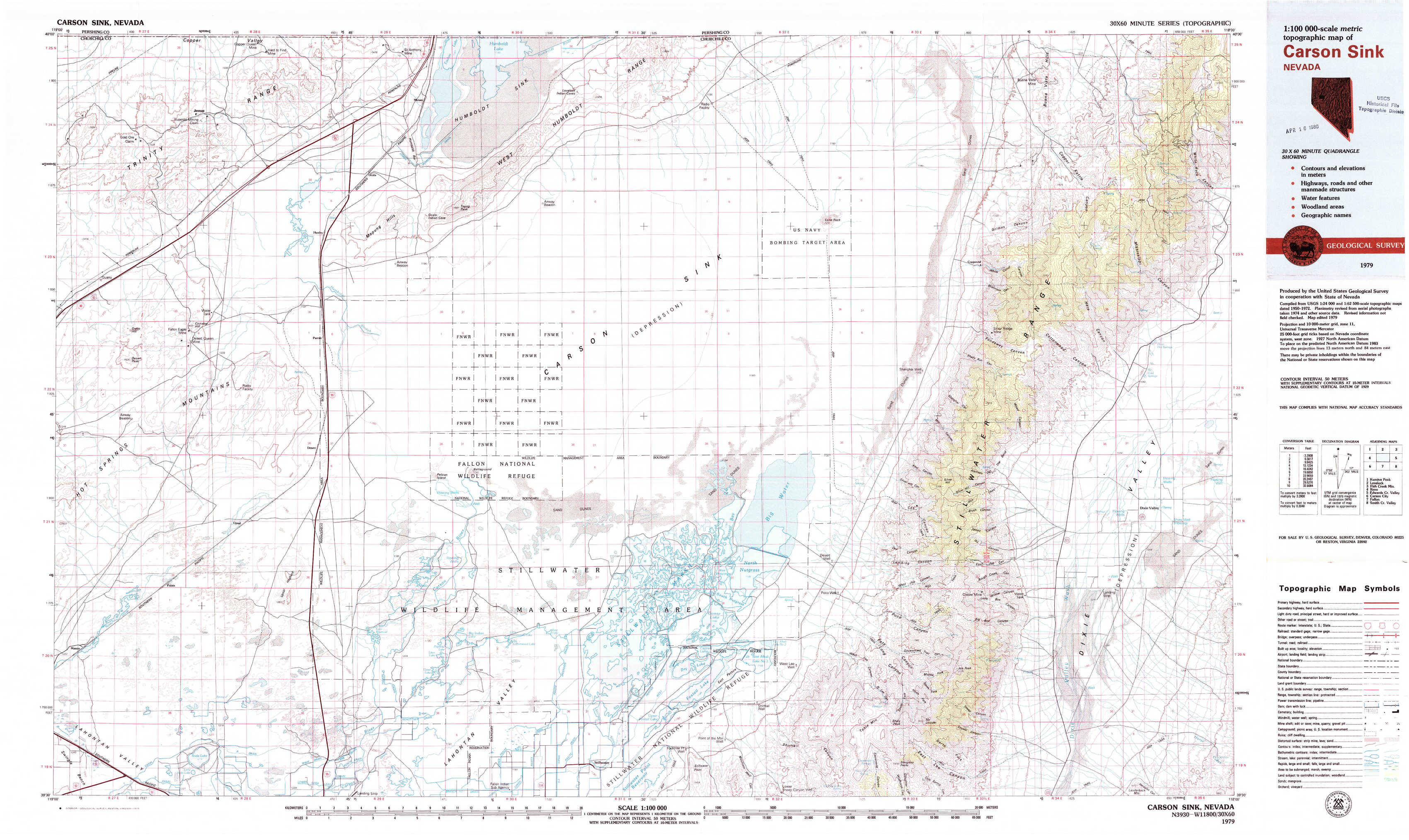
Carson Sink Topo Map Nevada
To zoom in, hover over the map of Carson Sink
USGS Topo Map 39118e1 - 1:100,000 scale
| Topo Map Name: | Carson Sink |
| USGS Topo Quad ID: | 39118e1 |
| Print Size: | ca. 39" wide x 24" high |
| Southeast Coordinates: | 39.5° N latitude / 118° W longitude |
| Map Center Coordinates: | 39.75° N latitude / 118.5° W longitude |
| U.S. State: | NV |
| Filename: | 39118e1.jpg |
| Download Map JPG Image: | Carson Sink topo map 1:100,000 scale |
| Map Type: | Topographic |
| Topo Series: | 30´x60´ |
| Map Scale: | 1:100,000 |
| Source of Map Images: | United States Geological Survey (USGS) |
| Alternate Map Versions: |
Carson Sink NV 1979, updated 1979 Download PDF Buy paper map Carson Sink NV 1979, updated 1979 Download PDF Buy paper map |
1:100,000 Topos surrounding Carson Sink
Kumiva Peak |
Lovelock |
Fish Creek Mountains |
Reno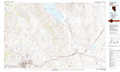 |
Carson Sink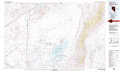 |
Edwards Creek Valley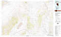 |
Carson City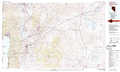 |
Fallon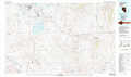 |
Smith Creek Valley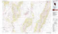 |
> Back to 39118a1 at 1:250,000 scale
> Back to U.S. Topo Maps home
1:24,000 Topo Quads covered by the spatial extent of this 100k map (Carson Sink)
|
Jessup 
|
White Plains 
|
Ocala 
|
Lovelock Indian Caves 
|
Lone Rock Nw 
|
Lone Rock 
|
Buena Vista Hills South 
|
Dixie Hot Springs Ne 
|
|
Desert Peak 
|
Parran 
|
Carson Sink Sw 
|
Carson Sink Se 
|
Lone Rock Sw 
|
Lone Rock Se 
|
Fondaway Canyon 
|
Dixie Hot Springs 
|
|
Soda Lake Nw 
|
Upsal Hogback 
|
Battleground Point 
|
Stillwater Ne 
|
Pintail Bay 
|
Cox Canyon 
|
I X L Canyon 
|
Dixie Valley 
|
|
Soda Lake West 
|
Soda Lake East 
|
Indian Lakes 
|
Stillwater 
|
Foxtail Lake 
|
Table Mountain 
|
Job Peak 
|
Dixie Valley Se 
|