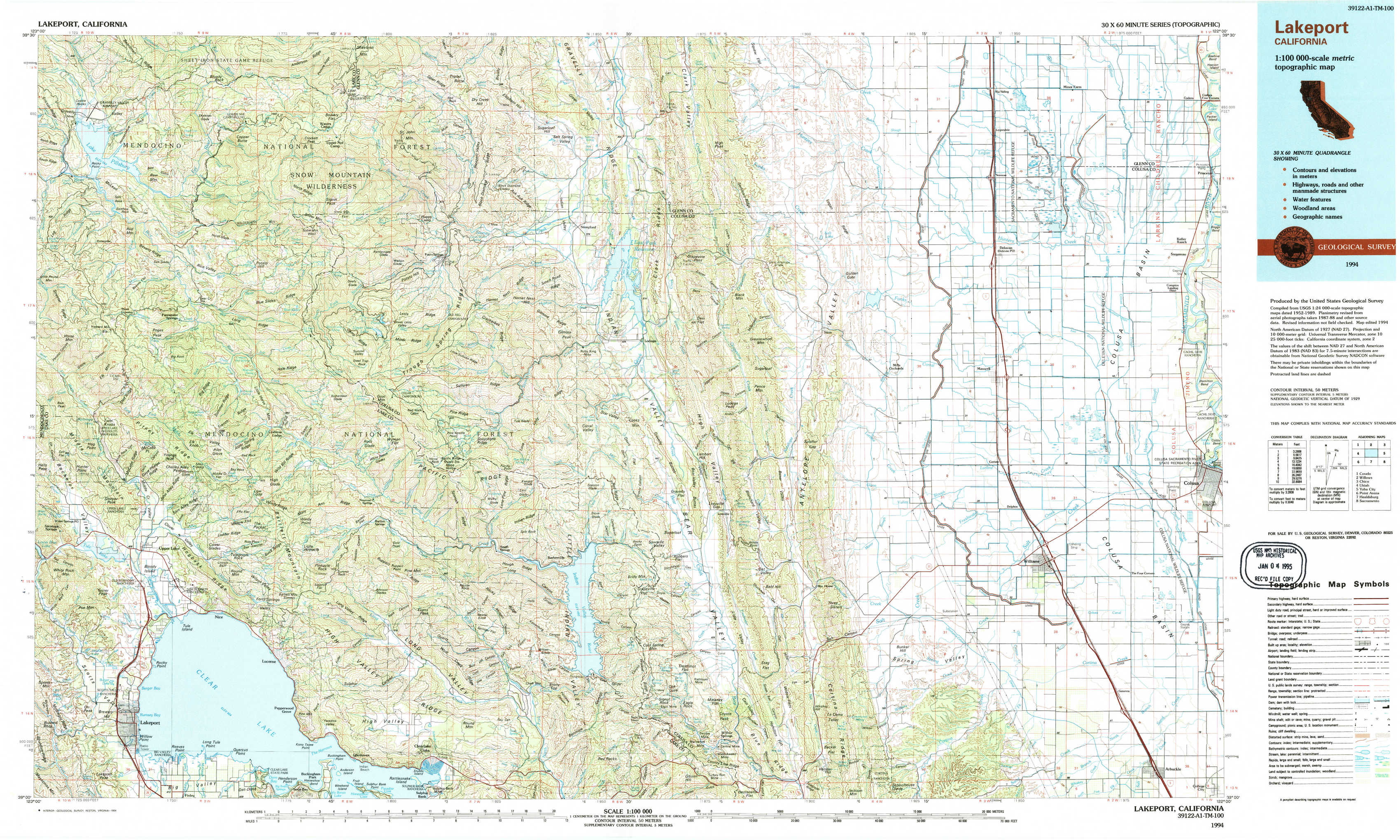
Lakeport Topo Map California
To zoom in, hover over the map of Lakeport
USGS Topo Map 39122a1 - 1:100,000 scale
| Topo Map Name: | Lakeport |
| USGS Topo Quad ID: | 39122a1 |
| Print Size: | ca. 39" wide x 24" high |
| Southeast Coordinates: | 39° N latitude / 122° W longitude |
| Map Center Coordinates: | 39.25° N latitude / 122.5° W longitude |
| U.S. State: | CA |
| Filename: | 39122a1.jpg |
| Download Map JPG Image: | Lakeport topo map 1:100,000 scale |
| Map Type: | Topographic |
| Topo Series: | 30´x60´ |
| Map Scale: | 1:100,000 |
| Source of Map Images: | United States Geological Survey (USGS) |
| Alternate Map Versions: |
Lakeport CA 1994, updated 1994 Download PDF Buy paper map |
1:100,000 Topos surrounding Lakeport
Covelo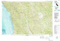 |
Willows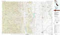 |
Chico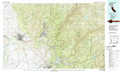 |
Ukiah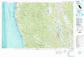 |
Lakeport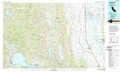 |
Yuba City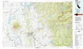 |
Point Arena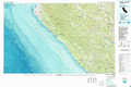 |
Healdsburg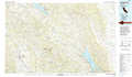 |
Sacramento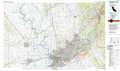 |
> Back to 39122a1 at 1:250,000 scale
> Back to U.S. Topo Maps home
1:24,000 Topo Quads covered by the spatial extent of this 100k map (Lakeport)
|
Lake Pillsbury 
|
Crockett Peak 
|
Saint John Mountain 
|
Stonyford 
|
Rail Canyon 
|
Logan Ridge 
|
Logandale 
|
Princeton 
|
|
Elk Mountain 
|
Potato Hill 
|
Fouts Springs 
|
Gilmore Peak 
|
Lodoga 
|
Sites 
|
Maxwell 
|
Moulton Weir 
|
|
Upper Lake 
|
Bartlett Mountain 
|
Bartlett Springs 
|
Hough Springs 
|
Leesville 
|
Manor Slough 
|
Williams 
|
Colusa 
|
|
Lakeport 
|
Lucerne 
|
Clearlake Oaks 
|
Benmore Canyon 
|
Wilbur Springs 
|
Salt Canyon 
|
Cortina Creek 
|
Arbuckle 
|