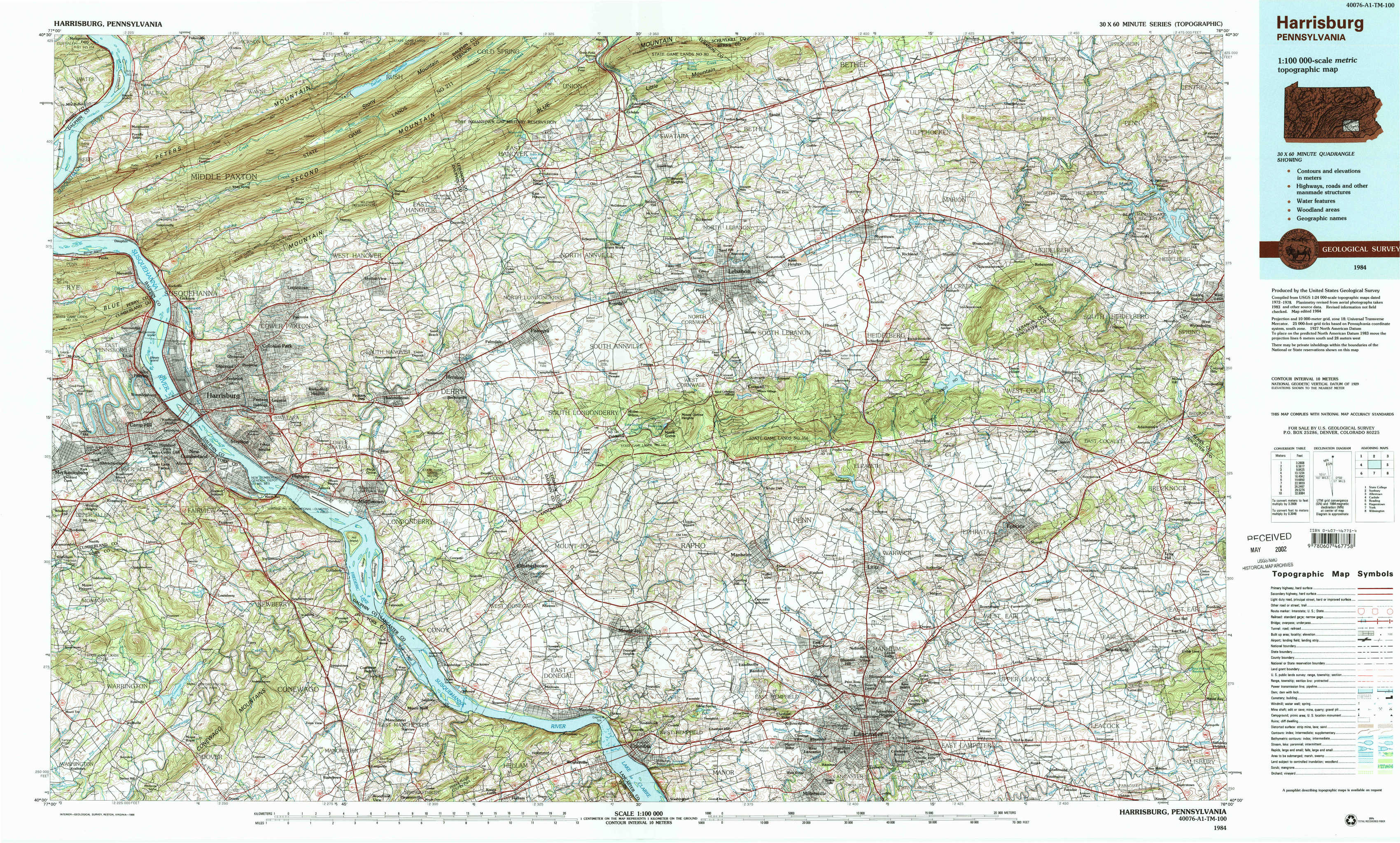
Harrisburg Topo Map Pennsylvania
To zoom in, hover over the map of Harrisburg
USGS Topo Map 40076a1 - 1:100,000 scale
| Topo Map Name: | Harrisburg |
| USGS Topo Quad ID: | 40076a1 |
| Print Size: | ca. 39" wide x 24" high |
| Southeast Coordinates: | 40° N latitude / 76° W longitude |
| Map Center Coordinates: | 40.25° N latitude / 76.5° W longitude |
| U.S. State: | PA |
| Filename: | 40076a1.jpg |
| Download Map JPG Image: | Harrisburg topo map 1:100,000 scale |
| Map Type: | Topographic |
| Topo Series: | 30´x60´ |
| Map Scale: | 1:100,000 |
| Source of Map Images: | United States Geological Survey (USGS) |
| Alternate Map Versions: |
Harrisburg PA 1984, updated 1985 Download PDF Buy paper map Harrisburg PA 1984, updated 1988 Download PDF Buy paper map |
1:100,000 Topos surrounding Harrisburg
State College |
Sunbury |
Allentown |
Carlisle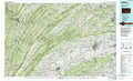 |
Harrisburg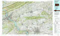 |
Reading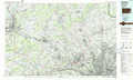 |
Hagerstown |
York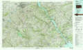 |
Wilmington |
> Back to 40076a1 at 1:250,000 scale
> Back to U.S. Topo Maps home
1:24,000 Topo Quads covered by the spatial extent of this 100k map (Harrisburg)
|
Halifax 
|
Enders 
|
Grantville 
|
Indiantown Gap 
|
Fredericksburg 
|
Bethel 
|
Strausstown 
|
Bernville 
|
|
Harrisburg West 
|
Harrisburg East 
|
Hershey 
|
Palmyra 
|
Lebanon 
|
Richland 
|
Womelsdorf 
|
Sinking Spring 
|
|
Lemoyne 
|
Steelton 
|
Middletown 
|
Elizabethtown 
|
Manheim 
|
Lititz 
|
Ephrata 
|
Terre Hill 
|
|
Wellsville 
|
Dover 
|
York Haven 
|
Columbia West 
|
Columbia East 
|
Lancaster 
|
Leola 
|
New Holland 
|