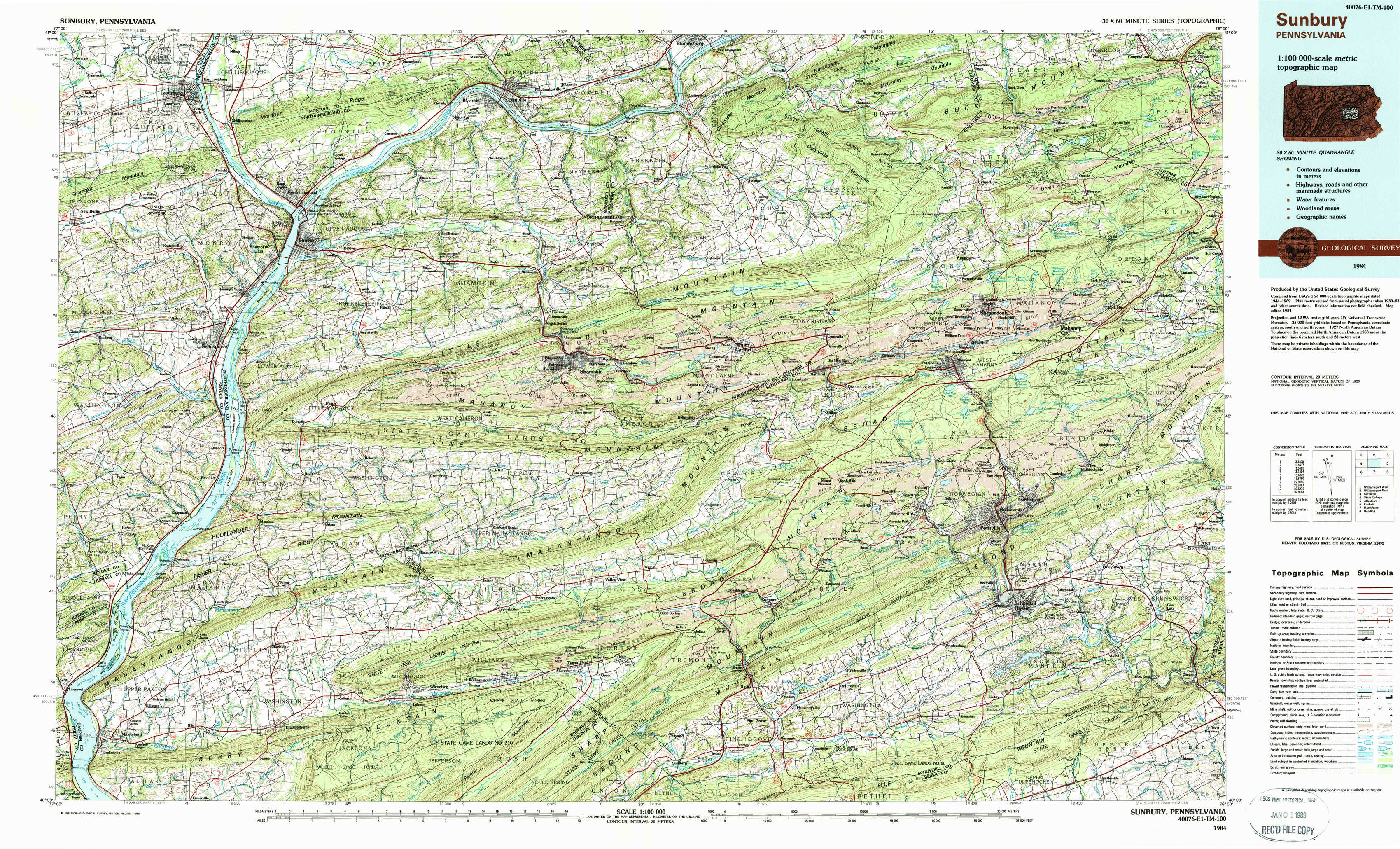
Sunbury Topo Map Pennsylvania
To zoom in, hover over the map of Sunbury
USGS Topo Map 40076e1 - 1:100,000 scale
| Topo Map Name: | Sunbury |
| USGS Topo Quad ID: | 40076e1 |
| Print Size: | ca. 39" wide x 24" high |
| Southeast Coordinates: | 40.5° N latitude / 76° W longitude |
| Map Center Coordinates: | 40.75° N latitude / 76.5° W longitude |
| U.S. State: | PA |
| Filename: | 40076e1.jpg |
| Download Map JPG Image: | Sunbury topo map 1:100,000 scale |
| Map Type: | Topographic |
| Topo Series: | 30´x60´ |
| Map Scale: | 1:100,000 |
| Source of Map Images: | United States Geological Survey (USGS) |
| Alternate Map Versions: |
Sunbury PA 1984, updated 1985 Download PDF Buy paper map Sunbury PA 1984, updated 1988 Download PDF Buy paper map |
1:100,000 Topos surrounding Sunbury
Williamsport West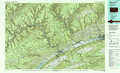 |
Williamsport East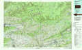 |
Scranton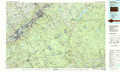 |
State College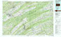 |
Sunbury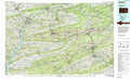 |
Allentown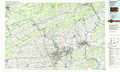 |
Carlisle |
Harrisburg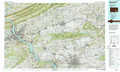 |
Reading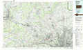 |
> Back to 40076a1 at 1:250,000 scale
> Back to U.S. Topo Maps home
1:24,000 Topo Quads covered by the spatial extent of this 100k map (Sunbury)
|
Lewisburg 
|
Northumberland 
|
Riverside 
|
Danville 
|
Catawissa 
|
Shumans 
|
Nuremberg 
|
Conyngham 
|
|
Freeburg 
|
Sunbury 
|
Trevorton 
|
Shamokin 
|
Mount Carmel 
|
Ashland 
|
Shenandoah 
|
Delano 
|
|
Dalmatia 
|
Pillow 
|
Klingerstown 
|
Valley View 
|
Tremont 
|
Minersville 
|
Pottsville 
|
Orwigsburg 
|
|
Millersburg 
|
Elizabethville 
|
Lykens 
|
Tower City 
|
Pine Grove 
|
Swatara Hill 
|
Friedensburg 
|
Auburn 
|