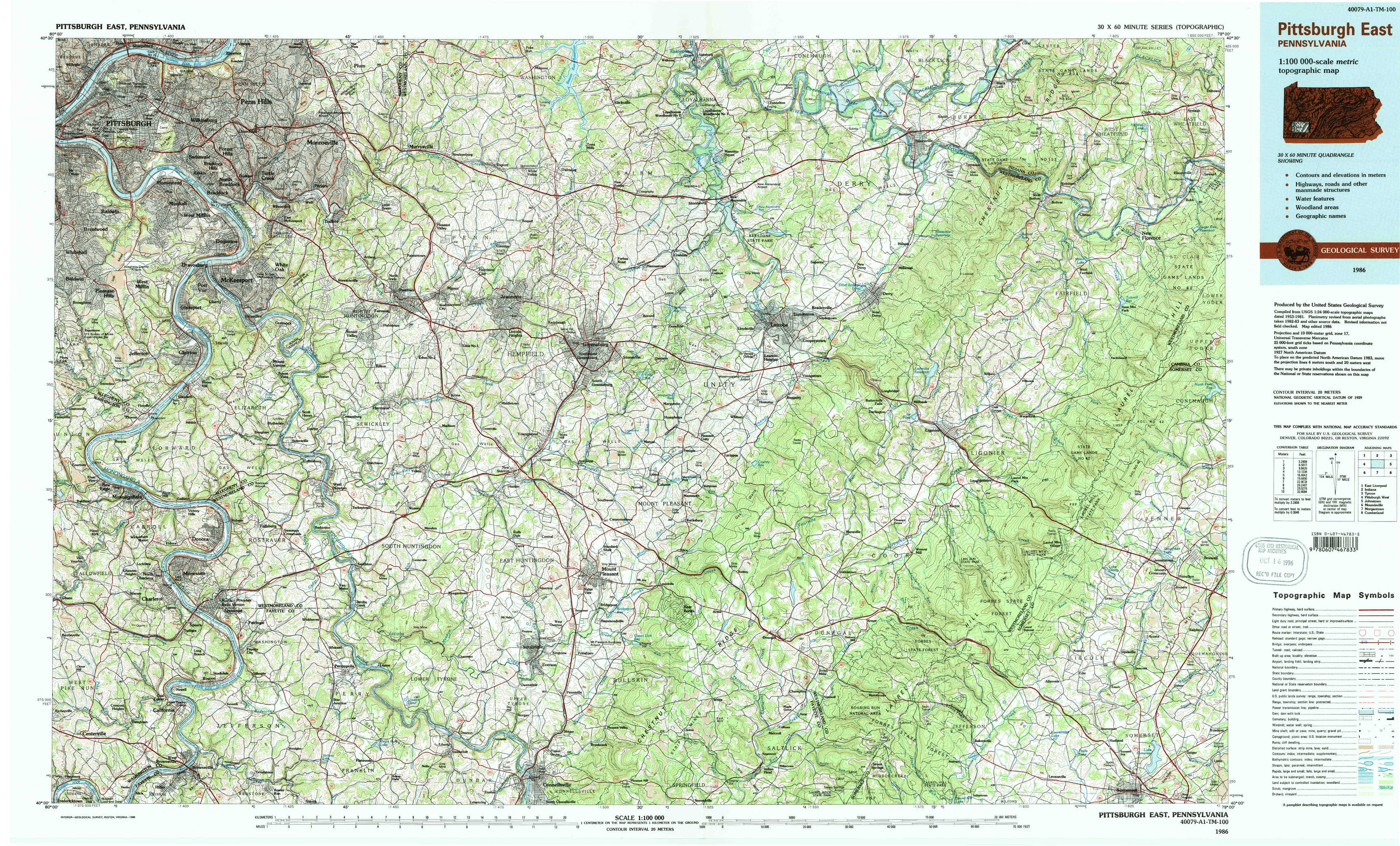
Pittsburgh East Topo Map Pennsylvania
To zoom in, hover over the map of Pittsburgh East
USGS Topo Map 40079a1 - 1:100,000 scale
| Topo Map Name: | Pittsburgh East |
| USGS Topo Quad ID: | 40079a1 |
| Print Size: | ca. 39" wide x 24" high |
| Southeast Coordinates: | 40° N latitude / 79° W longitude |
| Map Center Coordinates: | 40.25° N latitude / 79.5° W longitude |
| U.S. State: | PA |
| Filename: | 40079a1.jpg |
| Download Map JPG Image: | Pittsburgh East topo map 1:100,000 scale |
| Map Type: | Topographic |
| Topo Series: | 30´x60´ |
| Map Scale: | 1:100,000 |
| Source of Map Images: | United States Geological Survey (USGS) |
| Alternate Map Versions: |
Pittsburgh East PA 1986, updated 1986 Download PDF Buy paper map Pittsburgh East PA 1986, updated 1988 Download PDF Buy paper map Pittsburgh East PA 1986, updated 1988 Download PDF Buy paper map |
1:100,000 Topos surrounding Pittsburgh East
East Liverpool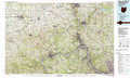 |
Indiana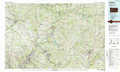 |
Tyrone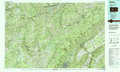 |
Pittsburgh West |
Pittsburgh East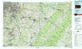 |
Johnstown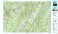 |
Moundsville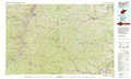 |
Morgantown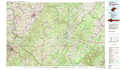 |
Cumberland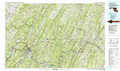 |
> Back to 40078a1 at 1:250,000 scale
> Back to U.S. Topo Maps home
1:24,000 Topo Quads covered by the spatial extent of this 100k map (Pittsburgh East)
|
Pittsburgh East 
|
Braddock 
|
Murrysville 
|
Slickville 
|
Saltsburg 
|
Blairsville 
|
Bolivar 
|
New Florence 
|
|
Glassport 
|
Mckeesport 
|
Irwin 
|
Greensburg 
|
Latrobe 
|
Derry 
|
Wilpen 
|
Rachelwood 
|
|
Monongahela 
|
Donora 
|
Smithton 
|
Mount Pleasant 
|
Mammoth 
|
Stahlstown 
|
Ligonier 
|
Boswell 
|
|
California 
|
Fayette City 
|
Saint Clairsville 
|
Connellsville 
|
Donegal 
|
Seven Springs 
|
Bakersville 
|
Somerset 
|