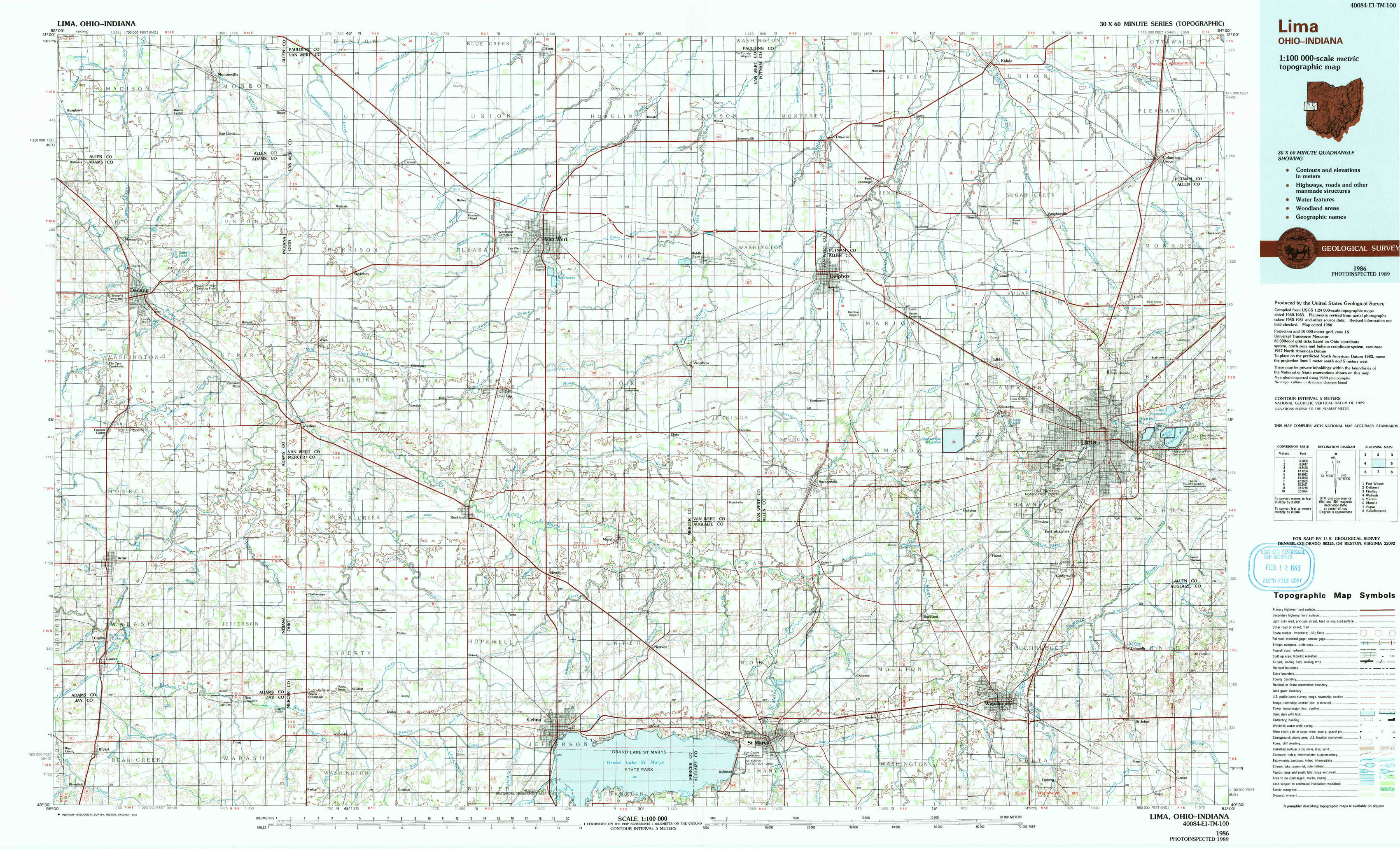
Lima Topo Map Ohio
To zoom in, hover over the map of Lima
USGS Topo Map 40084e1 - 1:100,000 scale
| Topo Map Name: | Lima |
| USGS Topo Quad ID: | 40084e1 |
| Print Size: | ca. 39" wide x 24" high |
| Southeast Coordinates: | 40.5° N latitude / 84° W longitude |
| Map Center Coordinates: | 40.75° N latitude / 84.5° W longitude |
| U.S. States: | OH, IN |
| Filename: | 40084e1.jpg |
| Download Map JPG Image: | Lima topo map 1:100,000 scale |
| Map Type: | Topographic |
| Topo Series: | 30´x60´ |
| Map Scale: | 1:100,000 |
| Source of Map Images: | United States Geological Survey (USGS) |
| Alternate Map Versions: |
Lima OH 1986, updated 1986 Download PDF Buy paper map Lima OH 1986, updated 1992 Download PDF Buy paper map Lima OH 1986, updated 1992 Download PDF Buy paper map |
1:100,000 Topos surrounding Lima
Fort Wayne |
Defiance |
Findlay |
Wabash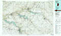 |
Lima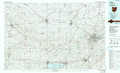 |
Marion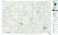 |
Muncie |
Piqua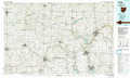 |
Bellefontaine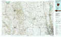 |
> Back to 40084a1 at 1:250,000 scale
> Back to U.S. Topo Maps home
1:24,000 Topo Quads covered by the spatial extent of this 100k map (Lima)
|
Hoagland 
|
Dixon 
|
Convoy 
|
Scott 
|
Wetsel 
|
Ottoville 
|
Kalida 
|
Columbus Grove 
|
|
Decatur 
|
Wren 
|
Glenmore 
|
Van Wert 
|
Middle Point 
|
Delphos 
|
Elida 
|
Cairo 
|
|
Berne 
|
Willshire 
|
Rockford 
|
Mendon 
|
Elgin 
|
Spencerville 
|
Cridersville 
|
Lima 
|
|
Geneva 
|
New Corydon 
|
Erastus 
|
Celina 
|
Saint Marys 
|
Moulton 
|
Wapakoneta 
|
Uniopolis 
|