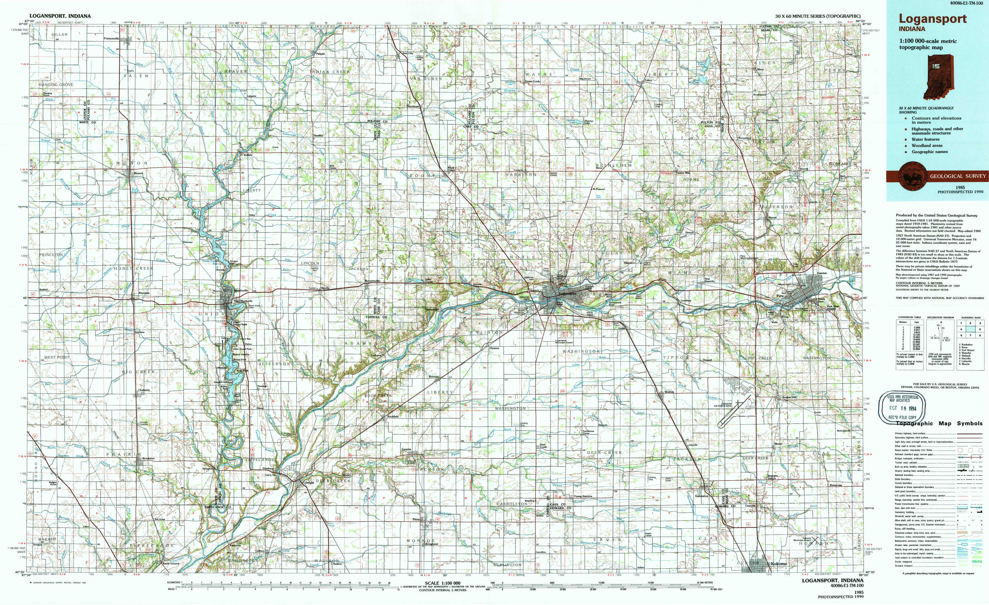
Logansport Topo Map Indiana
To zoom in, hover over the map of Logansport
USGS Topo Map 40086e1 - 1:100,000 scale
| Topo Map Name: | Logansport |
| USGS Topo Quad ID: | 40086e1 |
| Print Size: | ca. 39" wide x 24" high |
| Southeast Coordinates: | 40.5° N latitude / 86° W longitude |
| Map Center Coordinates: | 40.75° N latitude / 86.5° W longitude |
| U.S. State: | IN |
| Filename: | 40086e1.jpg |
| Download Map JPG Image: | Logansport topo map 1:100,000 scale |
| Map Type: | Topographic |
| Topo Series: | 30´x60´ |
| Map Scale: | 1:100,000 |
| Source of Map Images: | United States Geological Survey (USGS) |
| Alternate Map Versions: |
Logansport IN 1985, updated 1985 Download PDF Buy paper map Logansport IN 1985, updated 1994 Download PDF Buy paper map |
1:100,000 Topos surrounding Logansport
Kankakee |
Knox |
Fort Wayne |
Watseka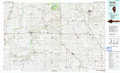 |
Logansport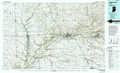 |
Wabash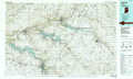 |
Danville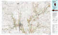 |
La Fayette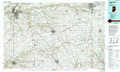 |
Muncie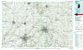 |
> Back to 40086a1 at 1:250,000 scale
> Back to U.S. Topo Maps home
1:24,000 Topo Quads covered by the spatial extent of this 100k map (Logansport)
|
Francesville 
|
Monon Ne 
|
Buffalo 
|
Star City 
|
Grass Creek 
|
Fulton 
|
Macy 
|
Deedsville 
|
|
Monon 
|
Monticello North 
|
Idaville 
|
Burnettsville 
|
Lucerne 
|
Logansport 
|
Twelve Mile 
|
Peru 
|
|
Brookston Nw 
|
Monticello South 
|
Yeoman 
|
Burrows 
|
Clymers 
|
Anoka 
|
Onward 
|
Bunker Hill 
|
|
Brookston Sw 
|
Brookston 
|
Delphi 
|
Flora 
|
Deer Creek 
|
Young America 
|
Galveston 
|
Miami 
|