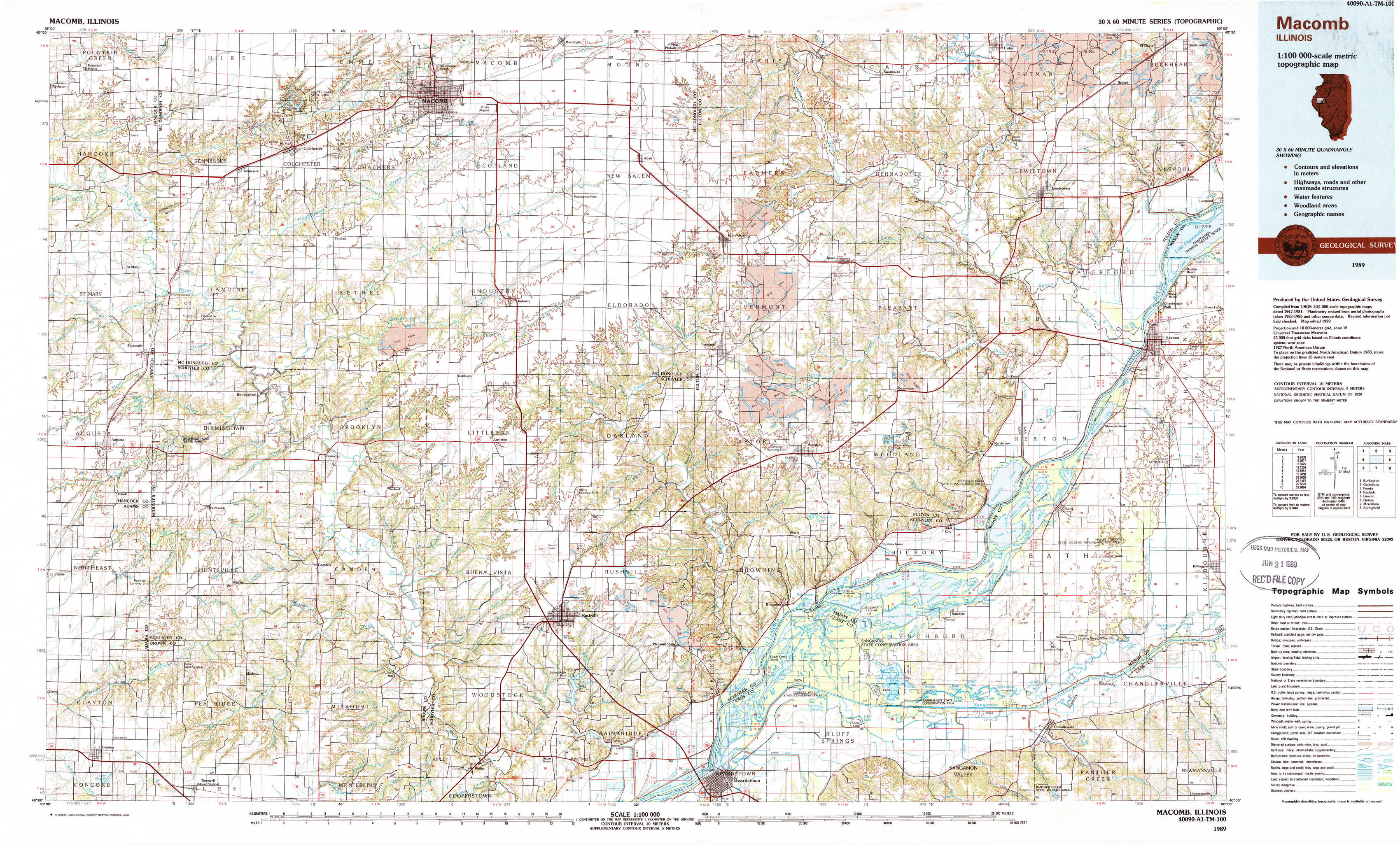
Macomb Topo Map Illinois
To zoom in, hover over the map of Macomb
USGS Topo Map 40090a1 - 1:100,000 scale
| Topo Map Name: | Macomb |
| USGS Topo Quad ID: | 40090a1 |
| Print Size: | ca. 39" wide x 24" high |
| Southeast Coordinates: | 40° N latitude / 90° W longitude |
| Map Center Coordinates: | 40.25° N latitude / 90.5° W longitude |
| U.S. State: | IL |
| Filename: | 40090a1.jpg |
| Download Map JPG Image: | Macomb topo map 1:100,000 scale |
| Map Type: | Topographic |
| Topo Series: | 30´x60´ |
| Map Scale: | 1:100,000 |
| Source of Map Images: | United States Geological Survey (USGS) |
| Alternate Map Versions: |
Macomb IL 1985, updated 1985 Download PDF Buy paper map Macomb IL 1989, updated 1989 Download PDF Buy paper map |
1:100,000 Topos surrounding Macomb
Burlington |
Galesburg |
Peoria |
Keokuk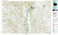 |
Macomb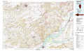 |
Lincoln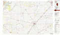 |
Quincy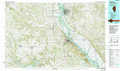 |
Meredosia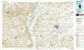 |
Springfield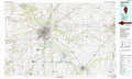 |
> Back to 40090a1 at 1:250,000 scale
> Back to U.S. Topo Maps home
1:24,000 Topo Quads covered by the spatial extent of this 100k map (Macomb)
|
Fountain Green 
|
Colchester 
|
Macomb 
|
Bardolph 
|
Adair 
|
Smithfield 
|
Lewiston 
|
Saint David 
|
|
Plymouth 
|
Fandon 
|
Doddsville 
|
Industry 
|
Vermont 
|
Ipava 
|
Duncan Mills 
|
Havana 
|
|
Augusta 
|
Camden 
|
Erwin 
|
Rushville North 
|
Ray 
|
Astoria 
|
Bath 
|
Kilbourne 
|
|
Clayton 
|
Lake Mount Sterling 
|
Ripley 
|
Rushville South 
|
Beardstown 
|
Clear Lake 
|
Chandlerville 
|
Newmansville 
|