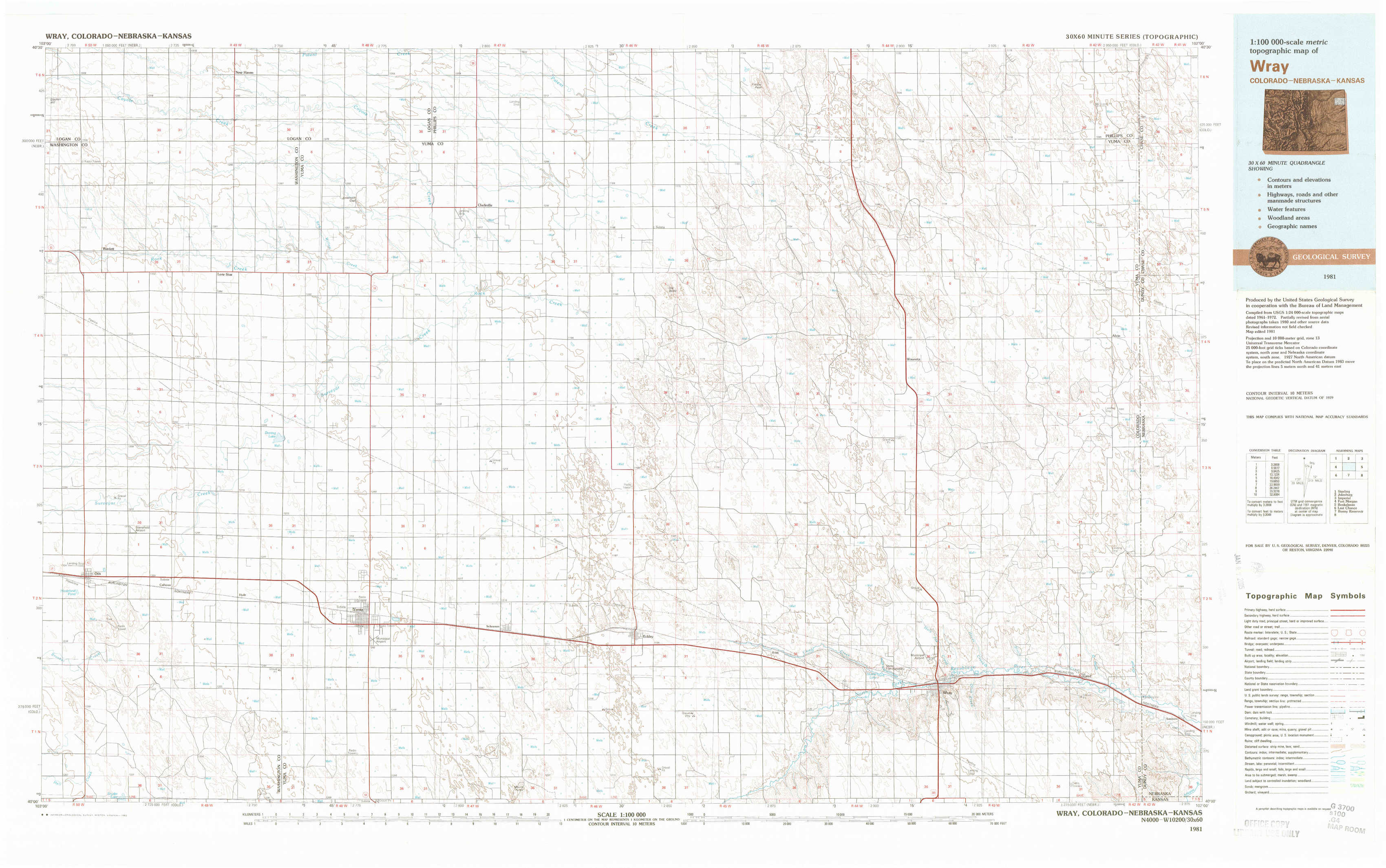
Wray Topo Map Colorado
To zoom in, hover over the map of Wray
USGS Topo Map 40102a1 - 1:100,000 scale
| Topo Map Name: | Wray |
| USGS Topo Quad ID: | 40102a1 |
| Print Size: | ca. 39" wide x 24" high |
| Southeast Coordinates: | 40° N latitude / 102° W longitude |
| Map Center Coordinates: | 40.25° N latitude / 102.5° W longitude |
| U.S. States: | CO, NE, KS |
| Filename: | 40102a1.jpg |
| Download Map JPG Image: | Wray topo map 1:100,000 scale |
| Map Type: | Topographic |
| Topo Series: | 30´x60´ |
| Map Scale: | 1:100,000 |
| Source of Map Images: | United States Geological Survey (USGS) |
| Alternate Map Versions: |
Wray CO 1981, updated 1982 Download PDF Buy paper map |
1:100,000 Topos surrounding Wray
Sterling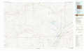 |
Julesburg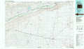 |
Imperial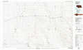 |
Fort Morgan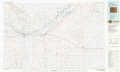 |
Wray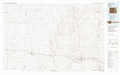 |
Benkelman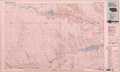 |
Last Chance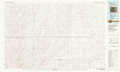 |
Bonny Reservoir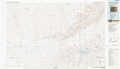 |
Saint Francis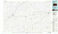 |
> Back to 40102a1 at 1:250,000 scale
> Back to U.S. Topo Maps home
1:24,000 Topo Quads covered by the spatial extent of this 100k map (Wray)
|
Glacken Hill 
|
New Haven 
|
Clarkville 
|
Clarkville Ne 
|
Fiddler Peak 
|
Wauneta Ne 
|
Alvin Nw 
|
Alvin Ne 
|
|
Burdett 
|
Lone Star 
|
Clarkville Sw 
|
Clarkville Se 
|
Old Baldy 
|
Wauneta 
|
Alvin Sw 
|
Alvin 
|
|
Otis 
|
Hyde 
|
Yuma North 
|
Yuma Ne 
|
Eckley Nw 
|
Eckley Ne 
|
Wray Nw 
|
Wray Ne 
|
|
Snyder Lake 
|
Otis Se 
|
Yuma South 
|
Schramm 
|
Eckley 
|
Robb 
|
Wray 
|
Laird 
|