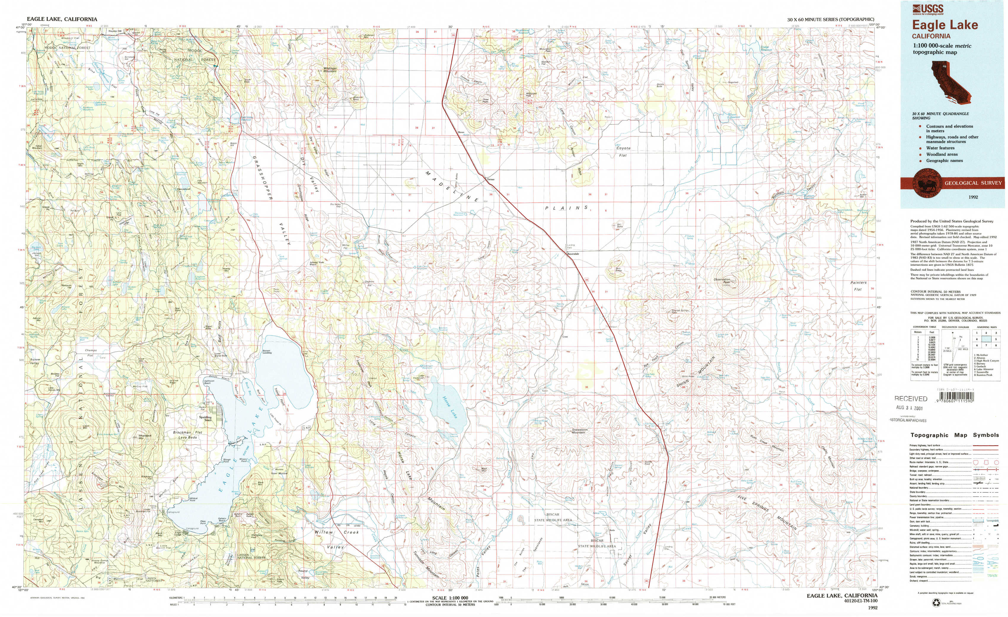
Eagle Lake Topo Map California
To zoom in, hover over the map of Eagle Lake
USGS Topo Map 40120e1 - 1:100,000 scale
| Topo Map Name: | Eagle Lake |
| USGS Topo Quad ID: | 40120e1 |
| Print Size: | ca. 39" wide x 24" high |
| Southeast Coordinates: | 40.5° N latitude / 120° W longitude |
| Map Center Coordinates: | 40.75° N latitude / 120.5° W longitude |
| U.S. State: | CA |
| Filename: | 40120e1.jpg |
| Download Map JPG Image: | Eagle Lake topo map 1:100,000 scale |
| Map Type: | Topographic |
| Topo Series: | 30´x60´ |
| Map Scale: | 1:100,000 |
| Source of Map Images: | United States Geological Survey (USGS) |
| Alternate Map Versions: |
Eagle Lake CA 1992, updated 1992 Download PDF Buy paper map Eagle Lake CA 1992, updated 1992 Download PDF Buy paper map |
1:100,000 Topos surrounding Eagle Lake
Mc Arthur |
Alturas |
High Rock Canyon |
Burney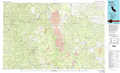 |
Eagle Lake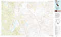 |
Gerlach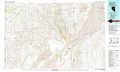 |
Lake Almanor |
Susanville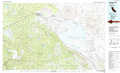 |
Kumiva Peak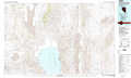 |
> Back to 40120a1 at 1:250,000 scale
> Back to U.S. Topo Maps home
1:24,000 Topo Quads covered by the spatial extent of this 100k map (Eagle Lake)
|
Silva Flat Reservoir 
|
Said Valley 
|
Whitinger Mountain 
|
Anderson Mountain 
|
Mcdonald Peak 
|
Juniper Ridge 
|
Dodge Reservoir 
|
Buckhorn Lake 
|
|
Bullard Lake 
|
Sheepshead 
|
Grasshopper Valley 
|
Cleghorn Flat 
|
Termo 
|
Ravendale 
|
Observation Peak 
|
Buckhorn Canyon 
|
|
Champs Flat 
|
Spalding Tract 
|
Troxel Point 
|
Fredonyer Peak 
|
West Of Snowstorm Mountain 
|
Snowstorm Mountain 
|
Shinn Mountain 
|
Al Shinn Canyon 
|
|
Antelope Mountain 
|
Pikes Point 
|
Gallatin Peak 
|
Tunnison Mountain 
|
Petes Valley 
|
Karlo 
|
Five Springs 
|
Cherry Mountain 
|