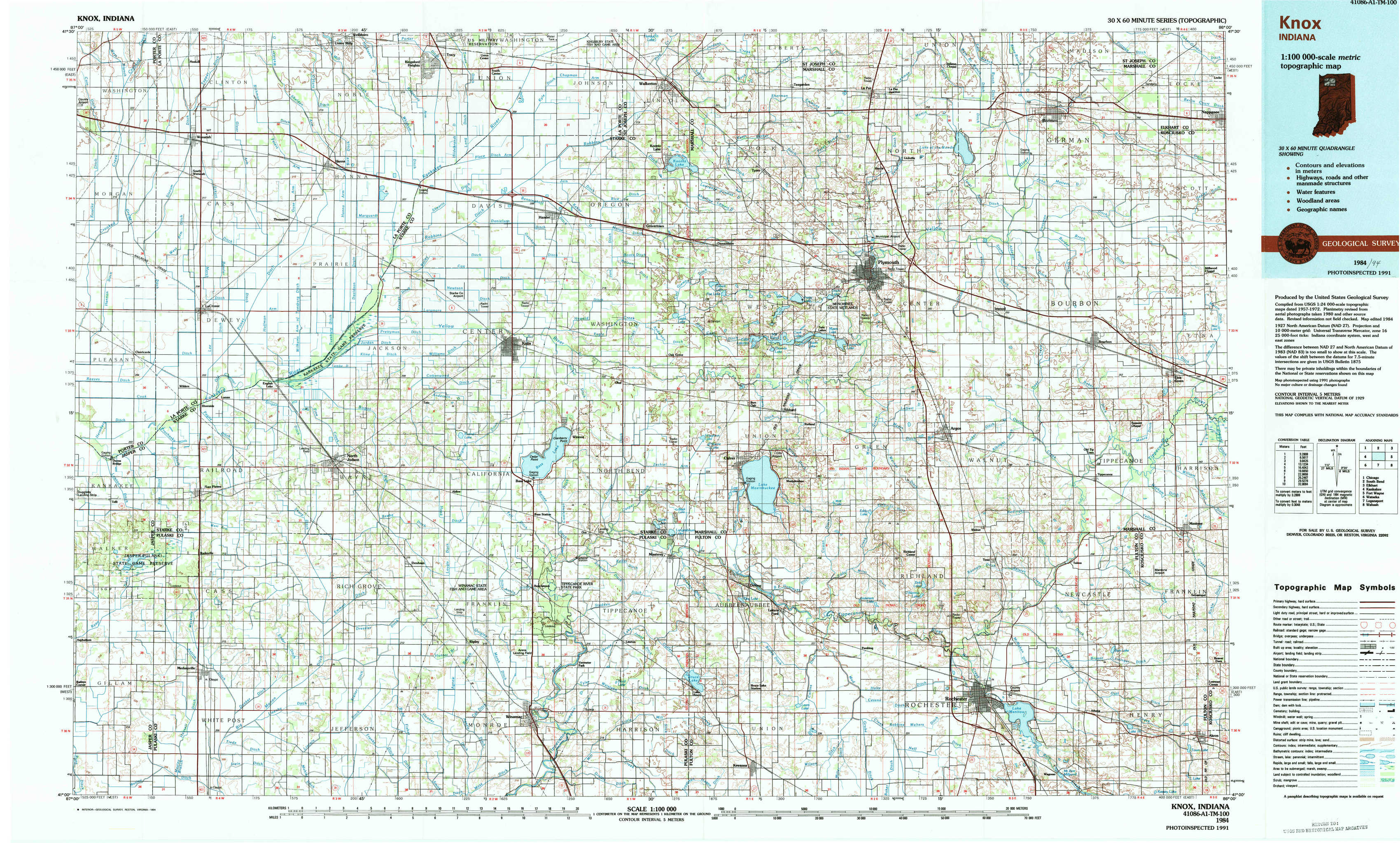
Knox Topo Map Indiana
To zoom in, hover over the map of Knox
USGS Topo Map 41086a1 - 1:100,000 scale
| Topo Map Name: | Knox |
| USGS Topo Quad ID: | 41086a1 |
| Print Size: | ca. 39" wide x 24" high |
| Southeast Coordinates: | 41° N latitude / 86° W longitude |
| Map Center Coordinates: | 41.25° N latitude / 86.5° W longitude |
| U.S. State: | IN |
| Filename: | 41086a1.jpg |
| Download Map JPG Image: | Knox topo map 1:100,000 scale |
| Map Type: | Topographic |
| Topo Series: | 30´x60´ |
| Map Scale: | 1:100,000 |
| Source of Map Images: | United States Geological Survey (USGS) |
| Alternate Map Versions: |
Knox IN 1984, updated 1985 Download PDF Buy paper map Knox IN 1984, updated 1994 Download PDF Buy paper map |
1:100,000 Topos surrounding Knox
Chicago |
South Bend |
Elkhart |
Kankakee |
Knox |
Fort Wayne |
Watseka |
Logansport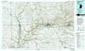 |
Wabash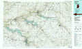 |
> Back to 41086a1 at 1:250,000 scale
> Back to U.S. Topo Maps home
1:24,000 Topo Quads covered by the spatial extent of this 100k map (Knox)
|
Wanatah 
|
Hanna 
|
Kingsford Heights 
|
Hamlet 
|
Walkerton 
|
La Paz 
|
Bremen 
|
Nappanee West 
|
|
La Crosse 
|
English Lake 
|
Knox West 
|
Knox East 
|
Donaldson 
|
Plymouth 
|
Inwood 
|
Bourbon 
|
|
San Pierre 
|
North Judson 
|
Denham 
|
Bass Lake 
|
Culver 
|
Rutland 
|
Argos 
|
Mentone 
|
|
Medaryville 
|
North Judson Se 
|
Ripley 
|
Winamac 
|
Kewanna 
|
Pershing 
|
Rochester 
|
Akron 
|