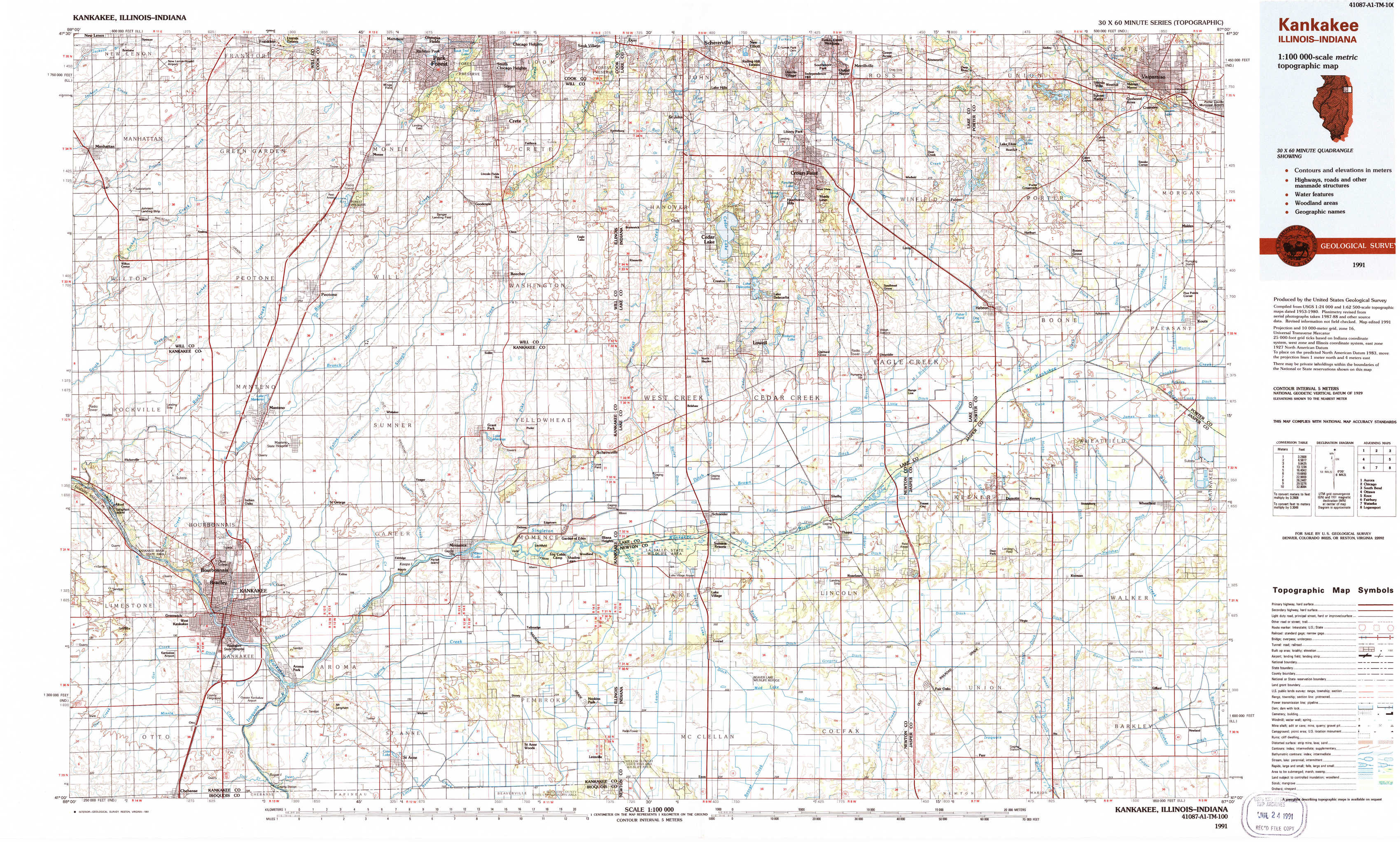
Kankakee Topo Map Illinois
To zoom in, hover over the map of Kankakee
USGS Topo Map 41087a1 - 1:100,000 scale
| Topo Map Name: | Kankakee |
| USGS Topo Quad ID: | 41087a1 |
| Print Size: | ca. 39" wide x 24" high |
| Southeast Coordinates: | 41° N latitude / 87° W longitude |
| Map Center Coordinates: | 41.25° N latitude / 87.5° W longitude |
| U.S. States: | IL, IN |
| Filename: | 41087a1.jpg |
| Download Map JPG Image: | Kankakee topo map 1:100,000 scale |
| Map Type: | Topographic |
| Topo Series: | 30´x60´ |
| Map Scale: | 1:100,000 |
| Source of Map Images: | United States Geological Survey (USGS) |
| Alternate Map Versions: |
Kankakee IL 1991, updated 1991 Download PDF Buy paper map |
1:100,000 Topos surrounding Kankakee
Aurora |
Chicago |
South Bend |
Ottawa |
Kankakee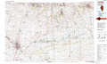 |
Knox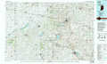 |
Fairbury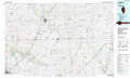 |
Watseka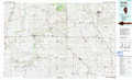 |
Logansport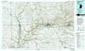 |
> Back to 41086a1 at 1:250,000 scale
> Back to U.S. Topo Maps home
1:24,000 Topo Quads covered by the spatial extent of this 100k map (Kankakee)
|
Manhattan 
|
Frankfort 
|
Steger 
|
Dyer 
|
Saint John 
|
Crown Point 
|
Palmer 
|
Valparaiso 
|
|
Wilton Center 
|
Peotone 
|
Beecher West 
|
Beecher East 
|
Lowell 
|
Leroy 
|
Hebron 
|
Kouts 
|
|
Bourbonnais 
|
Bradley 
|
Momence 
|
Illiana Heights 
|
Schneider 
|
Shelby 
|
Demotte 
|
Wheatfield 
|
|
West Kankakee 
|
Kankakee 
|
Saint Anne 
|
Leesville 
|
Enos 
|
Fair Oaks 
|
Parr 
|
Gifford 
|