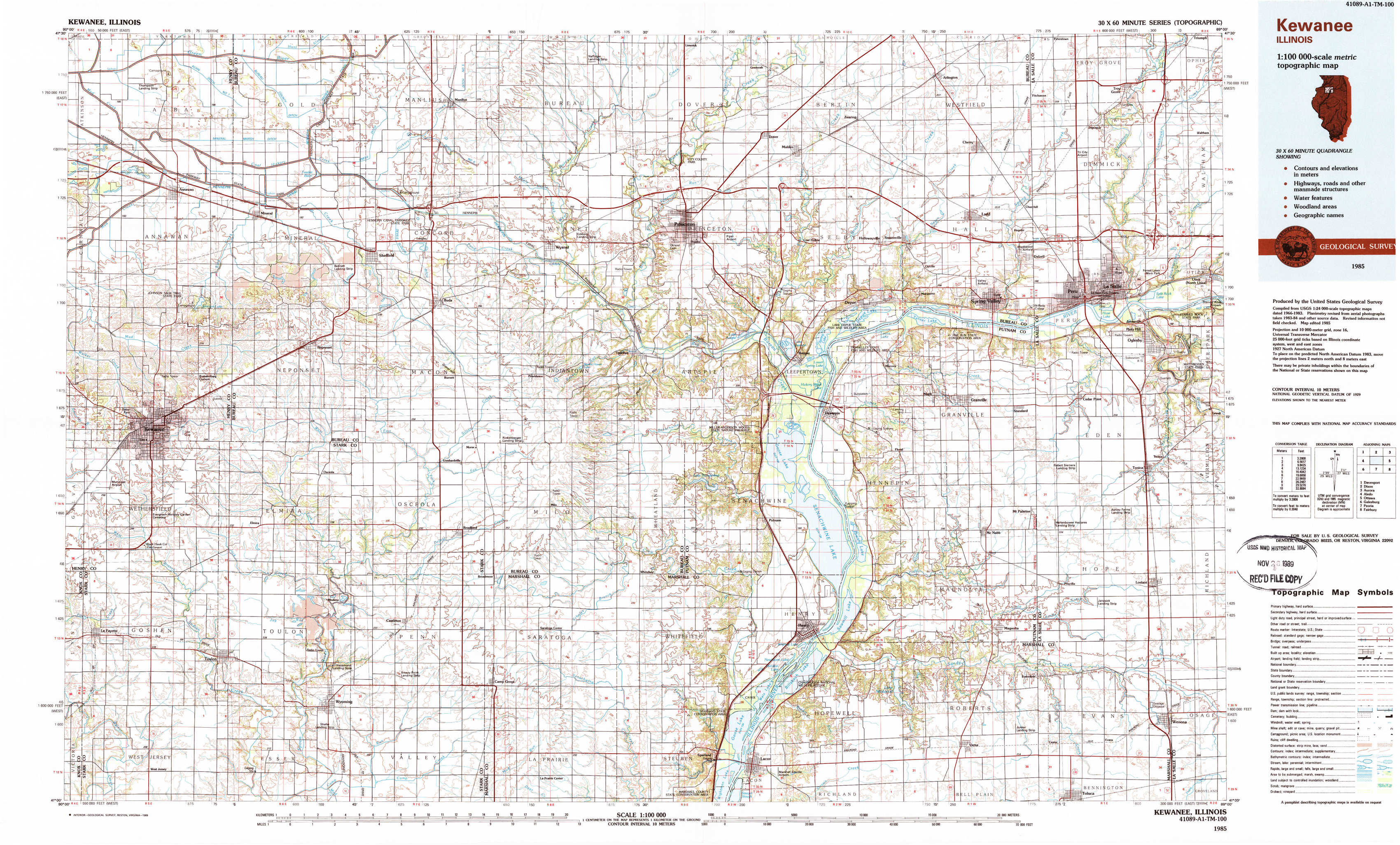
Kewanee Topo Map Illinois
To zoom in, hover over the map of Kewanee
USGS Topo Map 41089a1 - 1:100,000 scale
| Topo Map Name: | Kewanee |
| USGS Topo Quad ID: | 41089a1 |
| Print Size: | ca. 39" wide x 24" high |
| Southeast Coordinates: | 41° N latitude / 89° W longitude |
| Map Center Coordinates: | 41.25° N latitude / 89.5° W longitude |
| U.S. State: | IL |
| Filename: | 41089a1.jpg |
| Download Map JPG Image: | Kewanee topo map 1:100,000 scale |
| Map Type: | Topographic |
| Topo Series: | 30´x60´ |
| Map Scale: | 1:100,000 |
| Source of Map Images: | United States Geological Survey (USGS) |
| Alternate Map Versions: |
Kewanee IL 1985, updated 1985 Download PDF Buy paper map Kewanee IL 1985, updated 1989 Download PDF Buy paper map |
1:100,000 Topos surrounding Kewanee
Davenport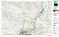 |
Dixon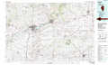 |
Aurora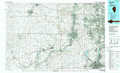 |
Aledo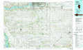 |
Kewanee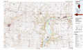 |
Ottawa |
Galesburg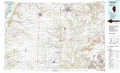 |
Peoria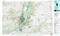 |
Fairbury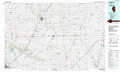 |
> Back to 41088a1 at 1:250,000 scale
> Back to U.S. Topo Maps home
1:24,000 Topo Quads covered by the spatial extent of this 100k map (Kewanee)
|
Annawan 
|
Mineral 
|
Manlius 
|
Buoane 
|
Princeton North 
|
Malden 
|
Ladd 
|
Troy Grove 
|
|
Kewanee North 
|
Neponset 
|
Buda 
|
Wyanet 
|
Princeton South 
|
Depue 
|
Spring Valley 
|
La Salle 
|
|
Kewanee South 
|
Elmira 
|
Bradford 
|
Whitefield 
|
Putnam 
|
Florid 
|
Mcnabb 
|
Tonica 
|
|
Lafayette 
|
Wyoming 
|
Castleton 
|
La Prairie Center 
|
Lacon 
|
Henry 
|
Varna 
|
Wenona 
|