Broken Bow Topo Map Nebraska
To zoom in, hover over the map of Broken Bow
USGS Topo Map 41099a1 - 1:100,000 scale
| Topo Map Name: | Broken Bow |
| USGS Topo Quad ID: | 41099a1 |
| Print Size: | ca. 39" wide x 24" high |
| Southeast Coordinates: | 41° N latitude / 99° W longitude |
| Map Center Coordinates: | 41.25° N latitude / 99.5° W longitude |
| U.S. State: | NE |
| Filename: | 41099a1.jpg |
| Download Map JPG Image: | Broken Bow topo map 1:100,000 scale |
| Map Type: | Topographic |
| Topo Series: | 30´x60´ |
| Map Scale: | 1:100,000 |
| Source of Map Images: | United States Geological Survey (USGS) |
| Alternate Map Versions: |
Broken Bow NE 1985, updated 1994 Download PDF Buy paper map |
1:100,000 Topos surrounding Broken Bow
Dismal River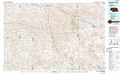 |
Burwell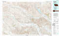 |
Ord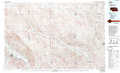 |
North Platte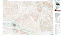 |
Broken Bow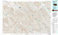 |
Saint Paul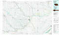 |
Gothenburg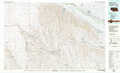 |
Kearney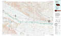 |
Grand Island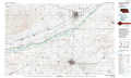 |
> Back to 41098a1 at 1:250,000 scale
> Back to U.S. Topo Maps home
1:24,000 Topo Quads covered by the spatial extent of this 100k map (Broken Bow)
|
Callaway Nw 
|
Merna 
|
Broken Bow 
|
Broken Bow Ne 
|
Westerville 
|
Ansley Ne 
|
Arcadia West 
|
Arcadia East 
|
|
Callaway 
|
Callaway Se 
|
Broken Bow Sw 
|
Broken Bow Se 
|
Ansley 
|
Ansley Se 
|
Arcadia Sw 
|
Arcadia Se 
|
|
Oconto Nw 
|
Oconto 
|
Eddyville Nw 
|
Eddyville Ne 
|
Mason City Nw 
|
Mason City 
|
Litchfield 
|
Litchfield Ne 
|
|
Oconto Sw 
|
Oconto Se 
|
Eddyville Sw 
|
Eddyville 
|
Mason City Sw 
|
Mason City Se 
|
Litchfield Sw 
|
Hazard 
|
