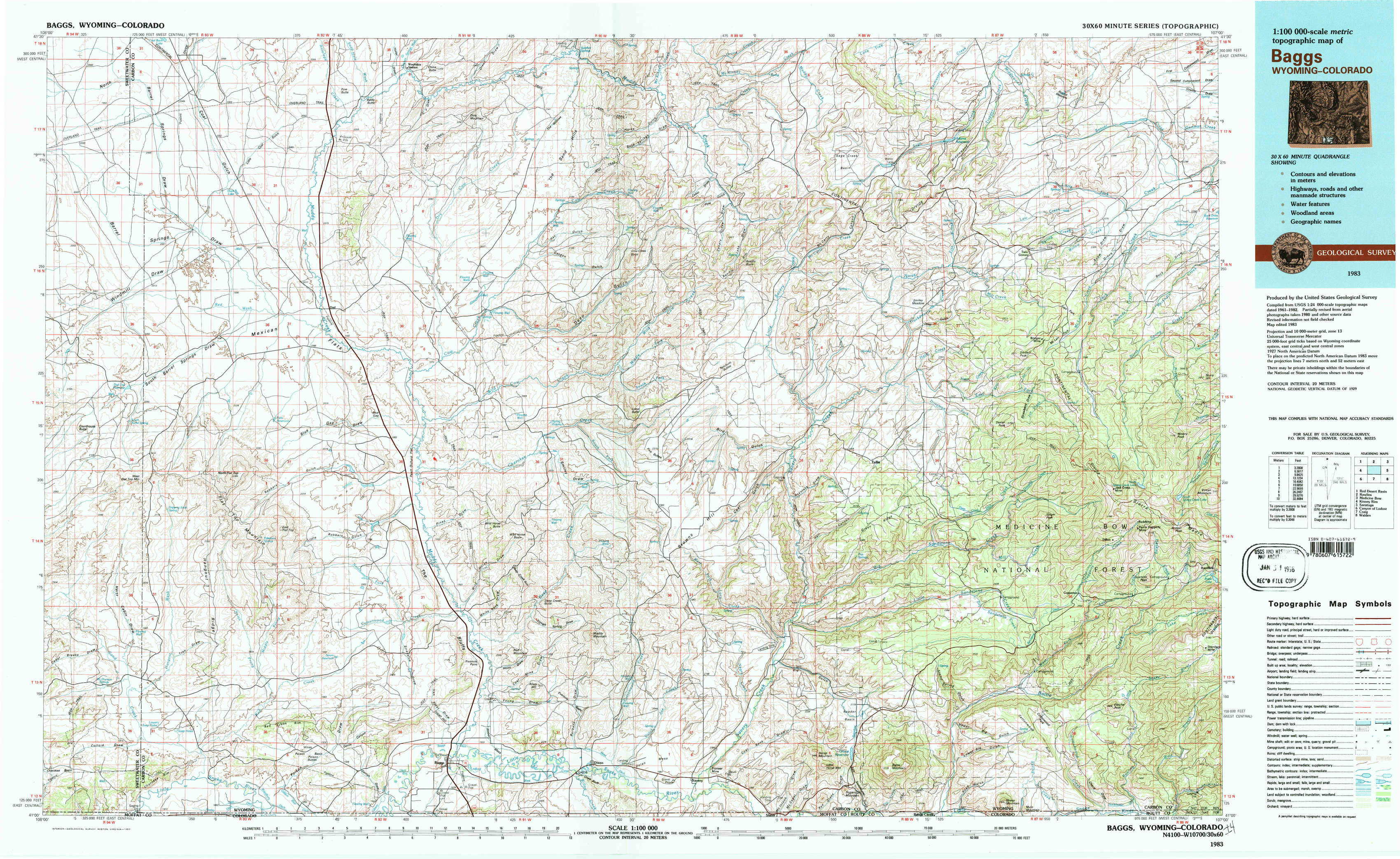
Baggs Topo Map Wyoming
To zoom in, hover over the map of Baggs
USGS Topo Map 41107a1 - 1:100,000 scale
| Topo Map Name: | Baggs |
| USGS Topo Quad ID: | 41107a1 |
| Print Size: | ca. 39" wide x 24" high |
| Southeast Coordinates: | 41° N latitude / 107° W longitude |
| Map Center Coordinates: | 41.25° N latitude / 107.5° W longitude |
| U.S. States: | WY, CO |
| Filename: | 41107a1.jpg |
| Download Map JPG Image: | Baggs topo map 1:100,000 scale |
| Map Type: | Topographic |
| Topo Series: | 30´x60´ |
| Map Scale: | 1:100,000 |
| Source of Map Images: | United States Geological Survey (USGS) |
| Alternate Map Versions: |
Baggs WY 1983, updated 1983 Download PDF Buy paper map |
1:100,000 Topos surrounding Baggs
Red Desert Basin |
Rawlins |
Medicine Bow |
Kinney Rim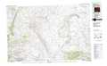 |
Baggs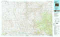 |
Saratoga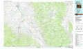 |
Canyon Of Lodore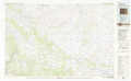 |
Craig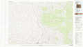 |
Walden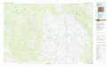 |
> Back to 41106a1 at 1:250,000 scale
> Back to U.S. Topo Maps home
1:24,000 Topo Quads covered by the spatial extent of this 100k map (Baggs)
|
Mexican Flats Nw 
|
Duck Lake 
|
Doty Mountain 
|
Sulphur Springs 
|
Pole Gulch 
|
Pine Grove Ranch 
|
Middlewood Hill 
|
Jack Creek Reservoir 
|
|
South Barrel Spring 
|
Mexican Flats 
|
Blue Gap 
|
Garden Gulch 
|
Ketchum Buttes 
|
Mccarty Ranch 
|
Divide Peak 
|
Sharp Hill 
|
|
Dripping Rock Spring 
|
Flat Top Mountain 
|
Peach Orchard Flat 
|
Smiley Draw 
|
Browns Hill 
|
Tullis 
|
Singer Peak 
|
Bridger Peak 
|
|
Mcpherson Springs 
|
Poison Basin 
|
Baggs 
|
Dixon 
|
Savery 
|
Grieve Reservoir 
|
Cottonwood Rim 
|
Fletcher Peak 
|