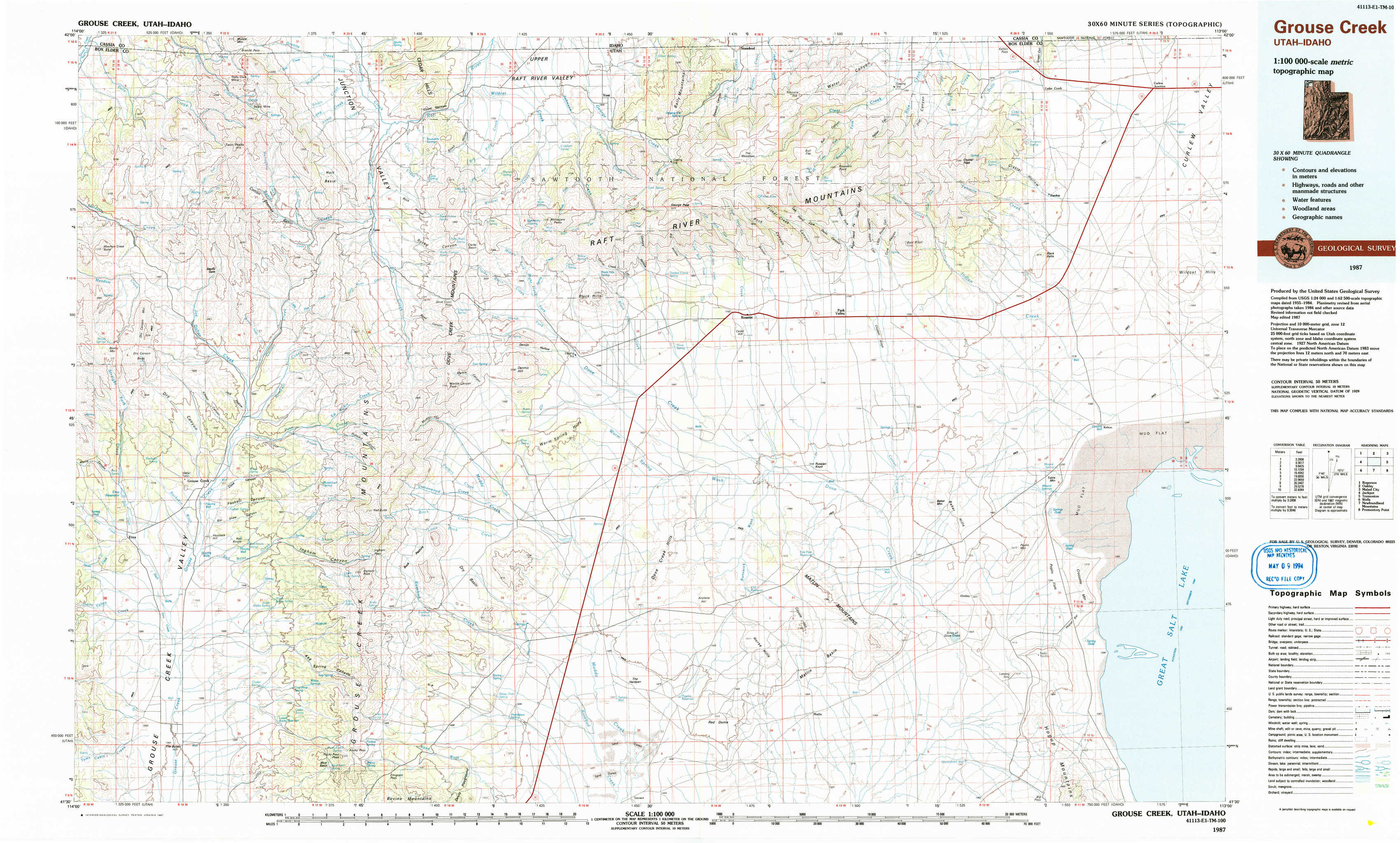
Grouse Creek Topo Map Utah
To zoom in, hover over the map of Grouse Creek
USGS Topo Map 41113e1 - 1:100,000 scale
| Topo Map Name: | Grouse Creek |
| USGS Topo Quad ID: | 41113e1 |
| Print Size: | ca. 39" wide x 24" high |
| Southeast Coordinates: | 41.5° N latitude / 113° W longitude |
| Map Center Coordinates: | 41.75° N latitude / 113.5° W longitude |
| U.S. States: | UT, ID |
| Filename: | 41113e1.jpg |
| Download Map JPG Image: | Grouse Creek topo map 1:100,000 scale |
| Map Type: | Topographic |
| Topo Series: | 30´x60´ |
| Map Scale: | 1:100,000 |
| Source of Map Images: | United States Geological Survey (USGS) |
| Alternate Map Versions: |
Grouse Creek UT 1987, updated 1987 Download PDF Buy paper map Grouse Creek UT 1987, updated 1987 Download PDF Buy paper map |
1:100,000 Topos surrounding Grouse Creek
Rogerson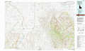 |
Oakley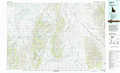 |
Malad City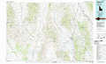 |
Jackpot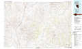 |
Grouse Creek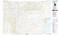 |
Tremonton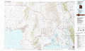 |
Wells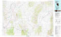 |
Newfoundland Mountains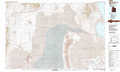 |
Promontory Point |
> Back to 41112a1 at 1:250,000 scale
> Back to U.S. Topo Maps home
1:24,000 Topo Quads covered by the spatial extent of this 100k map (Grouse Creek)
|
Pole Creek 
|
Cotton Thomas Basin 
|
Buck Hollow 
|
Yost 
|
Standrod 
|
Rosevere Point 
|
Kelton Pass 
|
Curlew Junction 
|
|
Dry Canyon Mountain 
|
Kimbell Creek 
|
Lynn Reservoir 
|
Dennis Hill 
|
Rosette 
|
Park Valley 
|
Black Butte 
|
Kelton Pass Se 
|
|
Grouse Creek 
|
Ingham Canyon 
|
Potters Creek 
|
Warm Spring Hills 
|
Runswick Wash 
|
Russian Knoll 
|
Peplin Flats 
|
Crocodile Mountain Ne 
|
|
Toms Cabin Spring 
|
Rocky Pass Peak 
|
Emigrant Pass 
|
Prohibition Spring 
|
Red Dome 
|
Matlin 
|
Hogup Bar 
|
Crocodile Mountain Se 
|