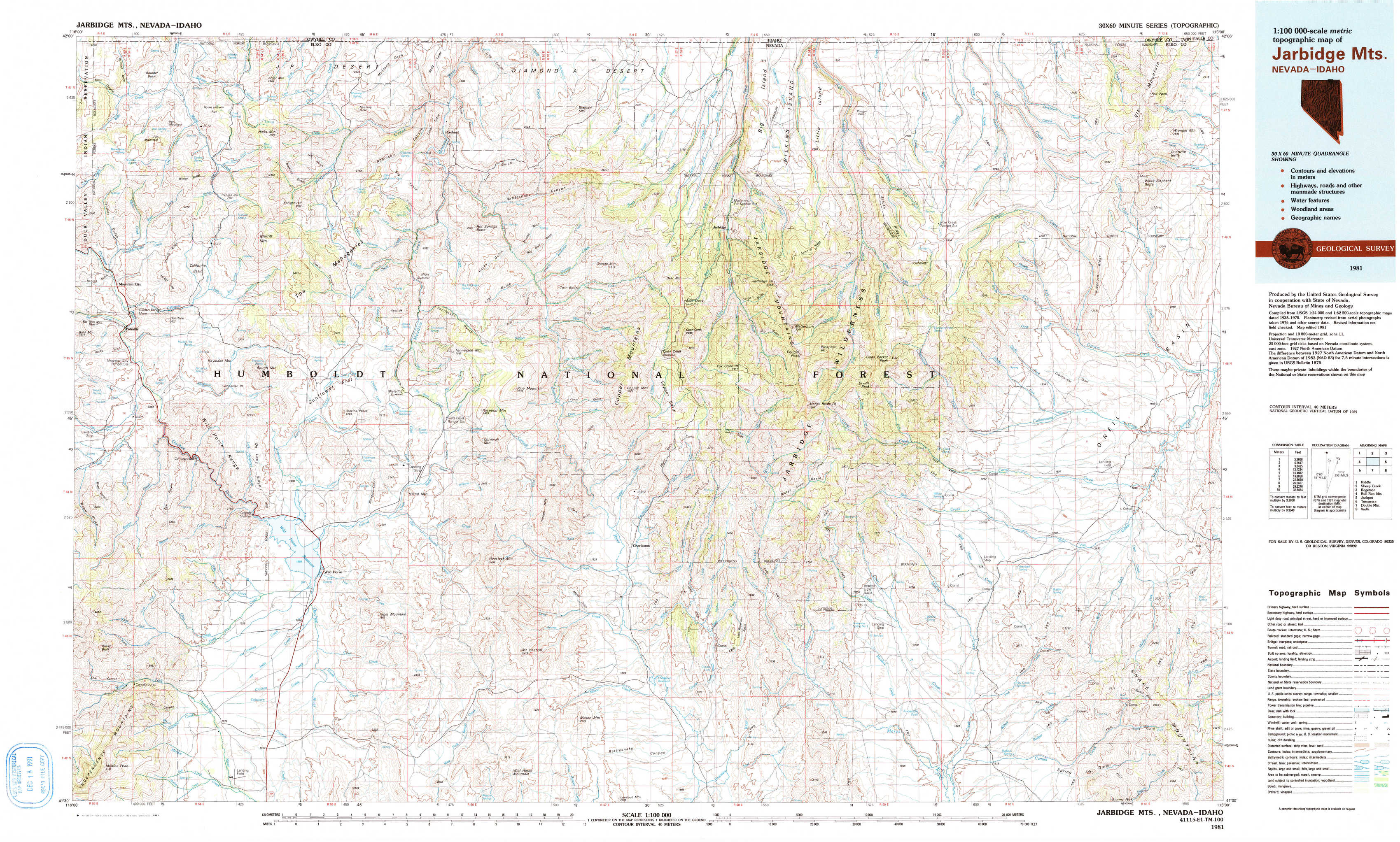
Jarbidge Mountains Topo Map Nevada
To zoom in, hover over the map of Jarbidge Mountains
USGS Topo Map 41115e1 - 1:100,000 scale
| Topo Map Name: | Jarbidge Mountains |
| USGS Topo Quad ID: | 41115e1 |
| Print Size: | ca. 39" wide x 24" high |
| Southeast Coordinates: | 41.5° N latitude / 115° W longitude |
| Map Center Coordinates: | 41.75° N latitude / 115.5° W longitude |
| U.S. States: | NV, ID |
| Filename: | 41115e1.jpg |
| Download Map JPG Image: | Jarbidge Mountains topo map 1:100,000 scale |
| Map Type: | Topographic |
| Topo Series: | 30´x60´ |
| Map Scale: | 1:100,000 |
| Source of Map Images: | United States Geological Survey (USGS) |
| Alternate Map Versions: |
Jarbidge Mts NV 1981, updated 1981 Download PDF Buy paper map Jarbidge Mts NV 1981, updated 1991 Download PDF Buy paper map Jarbidge Mts NV 1981, updated 1991 Download PDF Buy paper map |
1:100,000 Topos surrounding Jarbidge Mountains
Riddle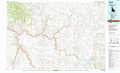 |
Sheep Creek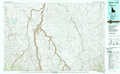 |
Rogerson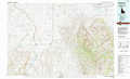 |
Bull Run Mountains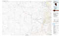 |
Jarbidge Mountains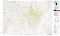 |
Jackpot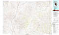 |
Tuscarora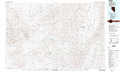 |
Double Mountain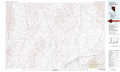 |
Wells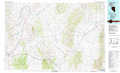 |
> Back to 41114a1 at 1:250,000 scale
> Back to U.S. Topo Maps home
1:24,000 Topo Quads covered by the spatial extent of this 100k map (Jarbidge Mountains)
|
Winter Ridge 
|
Hicks Mountain 
|
Big Table 
|
Bearpaw Mountain 
|
Jarbidge North 
|
Robinson Creek 
|
Caudle Creek 
|
Elk Mountain 
|
|
Mountain City 
|
Merritt Mountain 
|
Tennessee Mountain 
|
Coon Creek 
|
Jarbidge South 
|
Gods Pocket Peak 
|
Goat Creek 
|
Buckhorn Ridge 
|
|
Badger Creek 
|
Wild Horse 
|
Cornwall Mountain 
|
Annie Creek 
|
Marys River Basin Nw 
|
Marys River Basin Ne 
|
Sun Creek Nw 
|
Gilmer Ranch 
|
|
Mcafee Peak 
|
Delaware Creek 
|
Wagon Springs 
|
Mount Ichabod 
|
Charleston Reservoir 
|
Marys River Basin Se 
|
Hot Creek 
|
Stormy Peak 
|