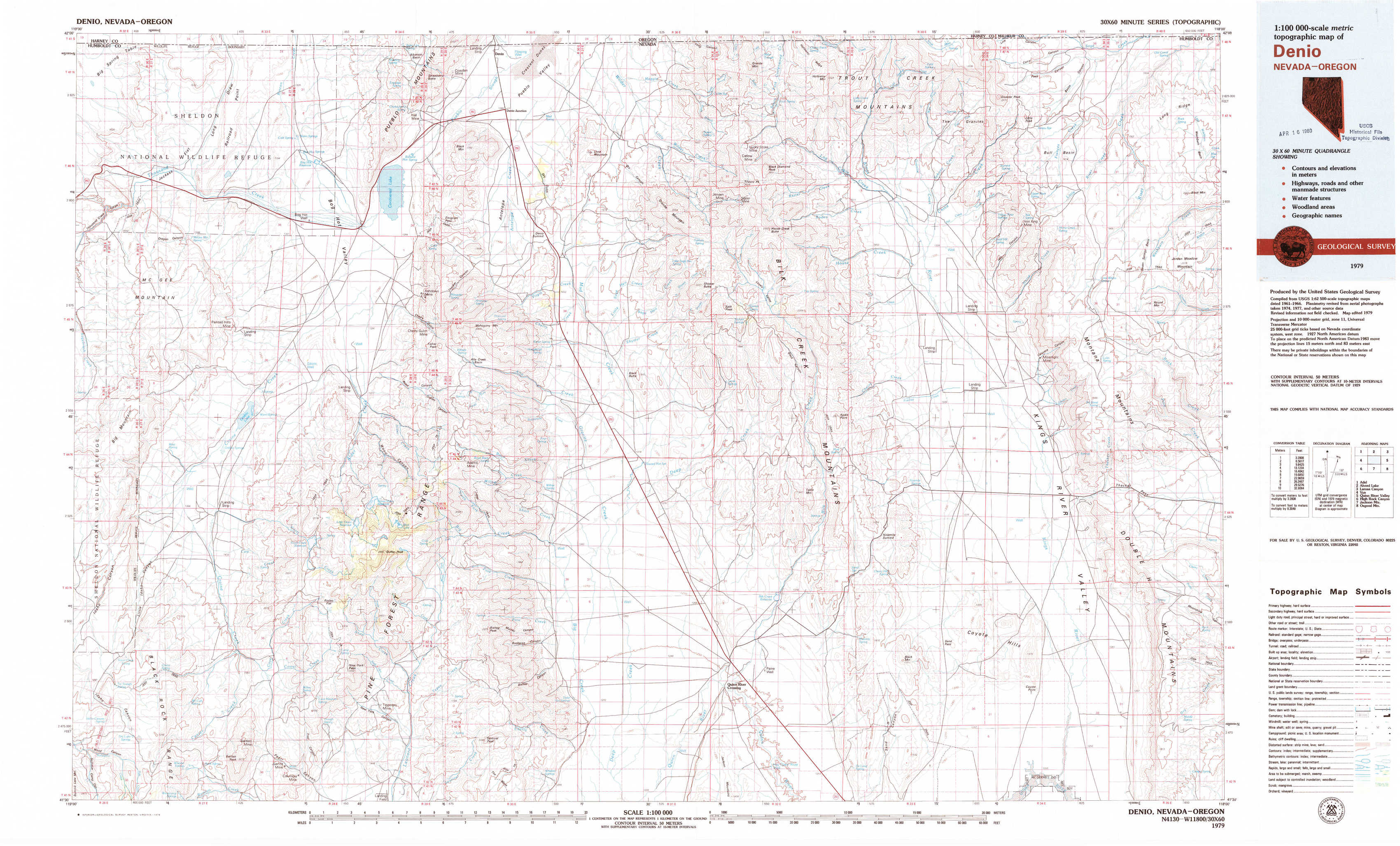
Denio Topo Map Nevada
To zoom in, hover over the map of Denio
USGS Topo Map 41118e1 - 1:100,000 scale
| Topo Map Name: | Denio |
| USGS Topo Quad ID: | 41118e1 |
| Print Size: | ca. 39" wide x 24" high |
| Southeast Coordinates: | 41.5° N latitude / 118° W longitude |
| Map Center Coordinates: | 41.75° N latitude / 118.5° W longitude |
| U.S. States: | NV, OR |
| Filename: | 41118e1.jpg |
| Download Map JPG Image: | Denio topo map 1:100,000 scale |
| Map Type: | Topographic |
| Topo Series: | 30´x60´ |
| Map Scale: | 1:100,000 |
| Source of Map Images: | United States Geological Survey (USGS) |
| Alternate Map Versions: |
Denio NV 1979, updated 1979 Download PDF Buy paper map Denio NV 1979, updated 1979 Download PDF Buy paper map Denio NV 1979, updated 1979 Download PDF Buy paper map Denio NV 1979, updated 1979 Download PDF Buy paper map |
1:100,000 Topos surrounding Denio
Adel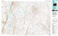 |
Alvord Lake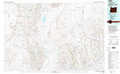 |
Louse Canyon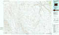 |
Vya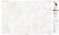 |
Denio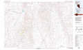 |
Quinn River Valley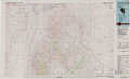 |
High Rock Canyon |
Jackson Mountains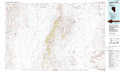 |
Osgood Mountains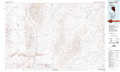 |
> Back to 41118a1 at 1:250,000 scale
> Back to U.S. Topo Maps home
1:24,000 Topo Quads covered by the spatial extent of this 100k map (Denio)
|
Thousand Creek Gorge 
|
Bog Hot Springs 
|
Denio 
|
Wilder Creek Ranch 
|
Trident Peak 
|
Holloway Mountain 
|
Disaster Peak 
|
Washburn Basin 
|
|
Mcgee Mountain 
|
Alder Creek Ranch 
|
Vicksburg Canyon 
|
Denio Summit 
|
Shyster Butte 
|
Kings River Ranch 
|
Calavera Canyon 
|
Jordan Meadow Mountain 
|
|
Knott Creek Ranch 
|
Knott Creek 
|
Duffer Peak 
|
Howard Hot Springs 
|
Bilk Creek Reservoir 
|
Ninemile Summit 
|
Sheep Ranch Springs 
|
Thacker Pass 
|
|
Idaho Canyon Spring 
|
New York Peak 
|
Bishop Peak 
|
Dyke Canyon 
|
Quinn River Crossing 
|
Mustang Spring 
|
Coyote Hills 
|
Moonshine Canyon 
|