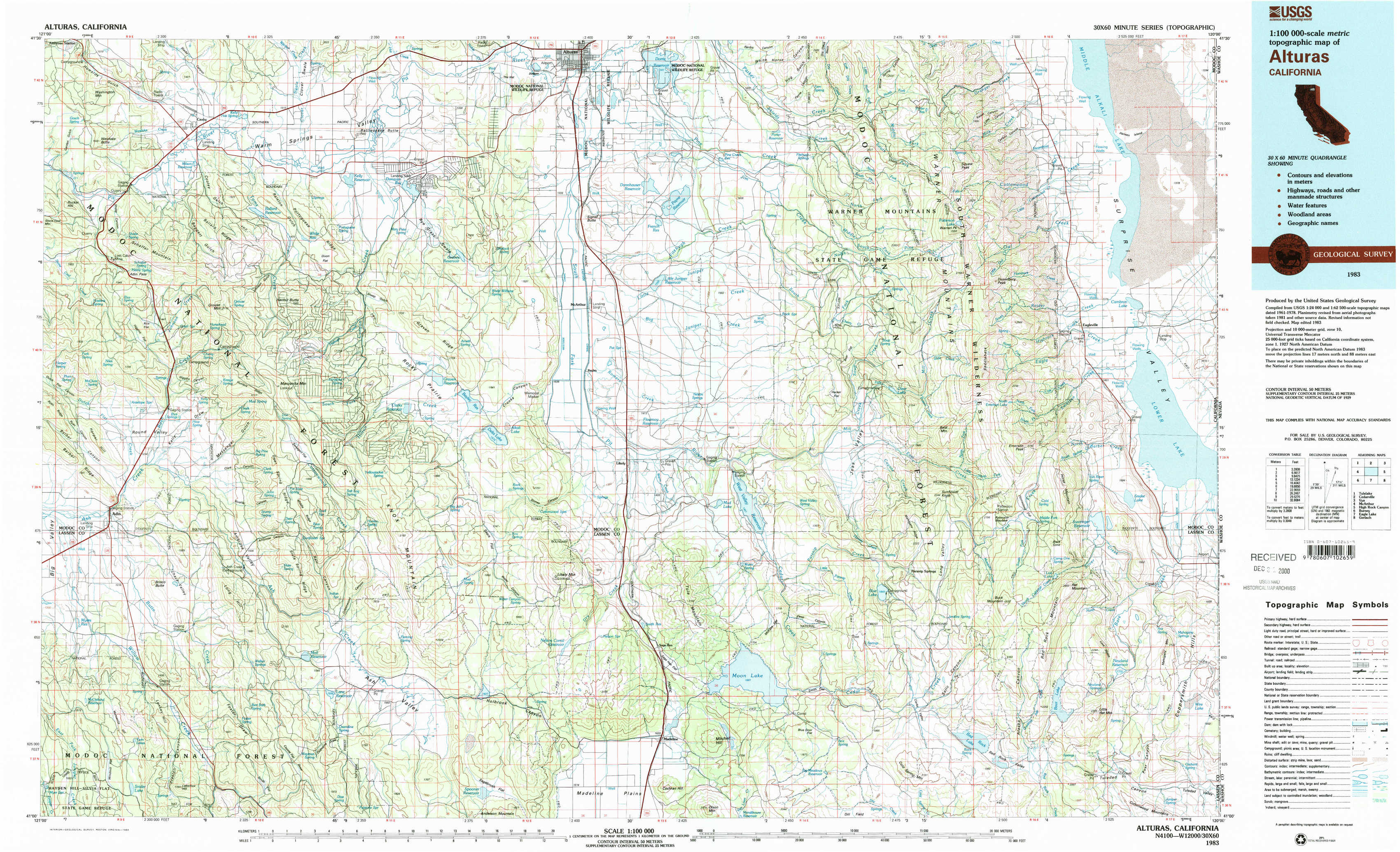
Alturas Topo Map California
To zoom in, hover over the map of Alturas
USGS Topo Map 41120a1 - 1:100,000 scale
| Topo Map Name: | Alturas |
| USGS Topo Quad ID: | 41120a1 |
| Print Size: | ca. 39" wide x 24" high |
| Southeast Coordinates: | 41° N latitude / 120° W longitude |
| Map Center Coordinates: | 41.25° N latitude / 120.5° W longitude |
| U.S. State: | CA |
| Filename: | 41120a1.jpg |
| Download Map JPG Image: | Alturas topo map 1:100,000 scale |
| Map Type: | Topographic |
| Topo Series: | 30´x60´ |
| Map Scale: | 1:100,000 |
| Source of Map Images: | United States Geological Survey (USGS) |
| Alternate Map Versions: |
Alturas CA 1983, updated 1983 Download PDF Buy paper map |
1:100,000 Topos surrounding Alturas
Tulelake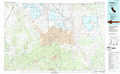 |
Cedarville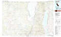 |
Vya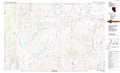 |
Mc Arthur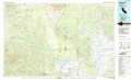 |
Alturas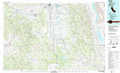 |
High Rock Canyon |
Burney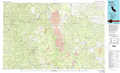 |
Eagle Lake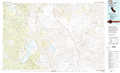 |
Gerlach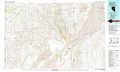 |
> Back to 41120a1 at 1:250,000 scale
> Back to U.S. Topo Maps home
1:24,000 Topo Quads covered by the spatial extent of this 100k map (Alturas)
|
Washington Mountain 
|
Canby 
|
Rattlesnake Butte 
|
Alturas 
|
Dorris Reservoir 
|
Shields Creek 
|
Warren Peak 
|
Hansen Island 
|
|
Adin Pass 
|
Hermit Butte 
|
Graven Ridge 
|
Bayley 
|
Little Juniper Reservoir 
|
Soup Creek 
|
Eagle Peak 
|
Eagleville 
|
|
Adin 
|
Ambrose Valley 
|
Knox Mountain 
|
Likely 
|
Tule Mountain 
|
Jess Valley 
|
Emerson Peak 
|
Snake Lake 
|
|
Letterbox Hill 
|
Lane Reservoir 
|
Ash Valley 
|
Holbrook Canyon 
|
Madeline 
|
Cold Spring Mountain 
|
Boot Lake 
|
Little Hat Mountain 
|