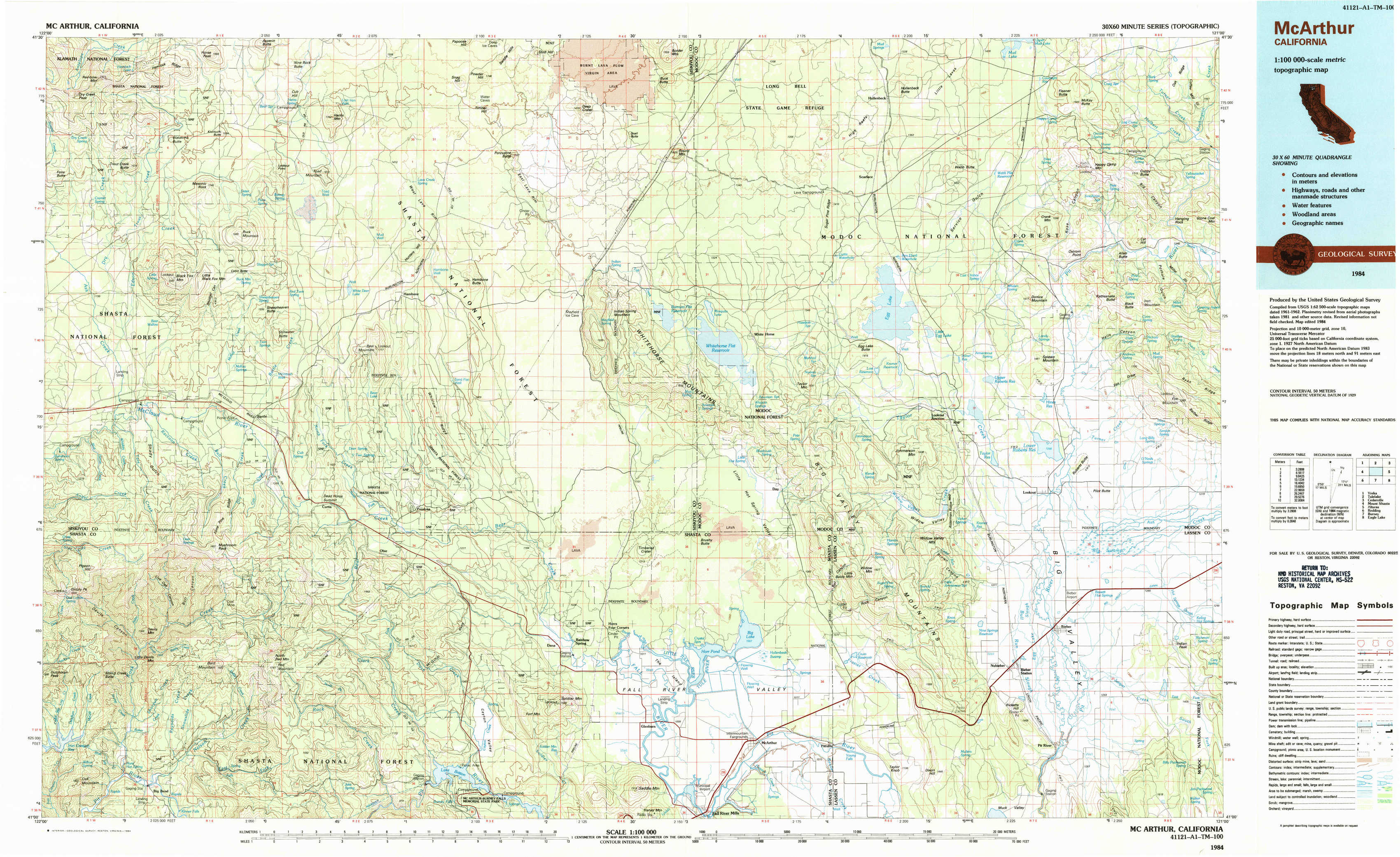
Mc Arthur Topo Map California
To zoom in, hover over the map of Mc Arthur
USGS Topo Map 41121a1 - 1:100,000 scale
| Topo Map Name: | Mc Arthur |
| USGS Topo Quad ID: | 41121a1 |
| Print Size: | ca. 39" wide x 24" high |
| Southeast Coordinates: | 41° N latitude / 121° W longitude |
| Map Center Coordinates: | 41.25° N latitude / 121.5° W longitude |
| U.S. State: | CA |
| Filename: | 41121a1.jpg |
| Download Map JPG Image: | Mc Arthur topo map 1:100,000 scale |
| Map Type: | Topographic |
| Topo Series: | 30´x60´ |
| Map Scale: | 1:100,000 |
| Source of Map Images: | United States Geological Survey (USGS) |
| Alternate Map Versions: |
McArthur CA 1984, updated 1984 Download PDF Buy paper map |
1:100,000 Topos surrounding Mc Arthur
Yreka |
Tulelake |
Cedarville |
Mount Shasta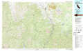 |
Mc Arthur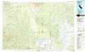 |
Alturas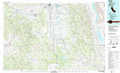 |
Redding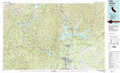 |
Burney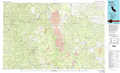 |
Eagle Lake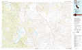 |
> Back to 41120a1 at 1:250,000 scale
> Back to U.S. Topo Maps home
1:24,000 Topo Quads covered by the spatial extent of this 100k map (Mc Arthur)
|
Rainbow Mountain 
|
Horse Peak 
|
Snag Hill 
|
Porcupine Butte 
|
Border Mountain 
|
Hollenbeck 
|
Crank Mountain 
|
Happy Camp Mountain 
|
|
Kinyon 
|
Bartle 
|
Hambone 
|
Indian Spring Mountain 
|
Whitehorse 
|
Egg Lake 
|
Donica Mountain 
|
Halls Canyon 
|
|
Grizzly Peak 
|
Dead Horse Summit 
|
Pondosa 
|
East Of Pondosa 
|
Timbered Crater 
|
Day 
|
Lookout 
|
Big Swamp 
|
|
Big Bend 
|
Skunk Ridge 
|
Burney Falls 
|
Dana 
|
Fall River Mills 
|
Pittville 
|
Bieber 
|
Hog Valley 
|