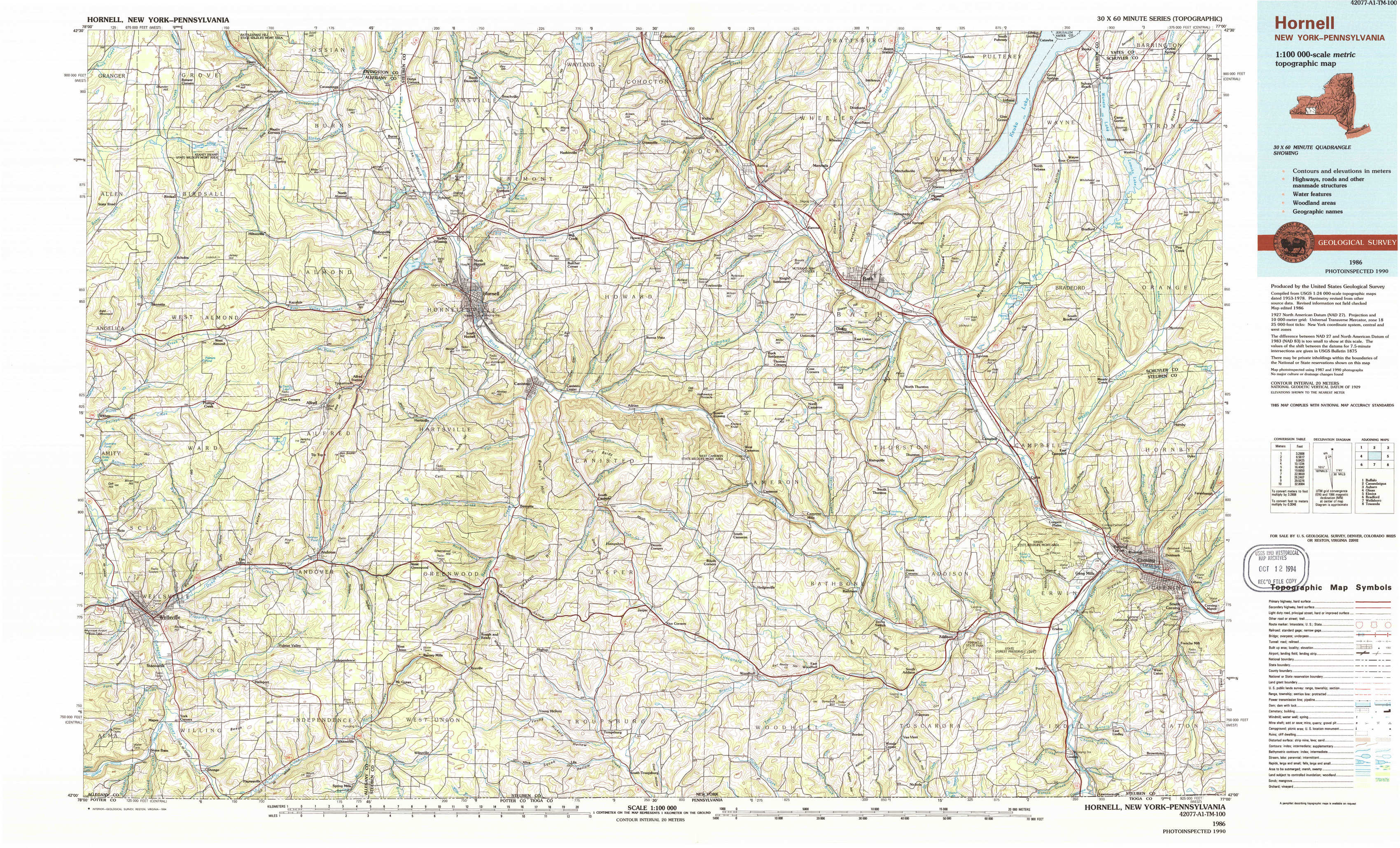
Hornell Topo Map New York
To zoom in, hover over the map of Hornell
USGS Topo Map 42077a1 - 1:100,000 scale
| Topo Map Name: | Hornell |
| USGS Topo Quad ID: | 42077a1 |
| Print Size: | ca. 39" wide x 24" high |
| Southeast Coordinates: | 42° N latitude / 77° W longitude |
| Map Center Coordinates: | 42.25° N latitude / 77.5° W longitude |
| U.S. States: | NY, PA |
| Filename: | 42077a1.jpg |
| Download Map JPG Image: | Hornell topo map 1:100,000 scale |
| Map Type: | Topographic |
| Topo Series: | 30´x60´ |
| Map Scale: | 1:100,000 |
| Source of Map Images: | United States Geological Survey (USGS) |
| Alternate Map Versions: |
Hornell NY 1986, updated 1986 Download PDF Buy paper map Hornell NY 1986, updated 1994 Download PDF Buy paper map |
1:100,000 Topos surrounding Hornell
Buffalo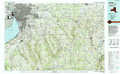 |
Canandaigua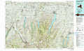 |
Auburn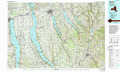 |
Olean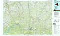 |
Hornell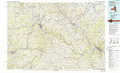 |
Elmira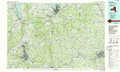 |
Bradford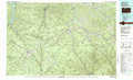 |
Wellsboro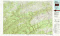 |
Towanda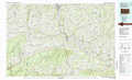 |
> Back to 42076a1 at 1:250,000 scale
> Back to U.S. Topo Maps home
1:24,000 Topo Quads covered by the spatial extent of this 100k map (Hornell)
|
Birdsall 
|
Canaseraga 
|
Arkport 
|
Haskinville 
|
Avoca 
|
Rheims 
|
Hammondsport 
|
Wayne 
|
|
West Almond 
|
Alfred 
|
Hornell 
|
Canisteo 
|
Towlesville 
|
Bath 
|
Savona 
|
Bradford 
|
|
Wellsville North 
|
Andover 
|
Greenwood 
|
South Canisteo 
|
Cameron 
|
Rathbone 
|
Campbell 
|
Corning 
|
|
Wellsville South 
|
Whitesville 
|
Rexville 
|
Troupsburg 
|
Woodhull 
|
Borden 
|
Addison 
|
Caton 
|