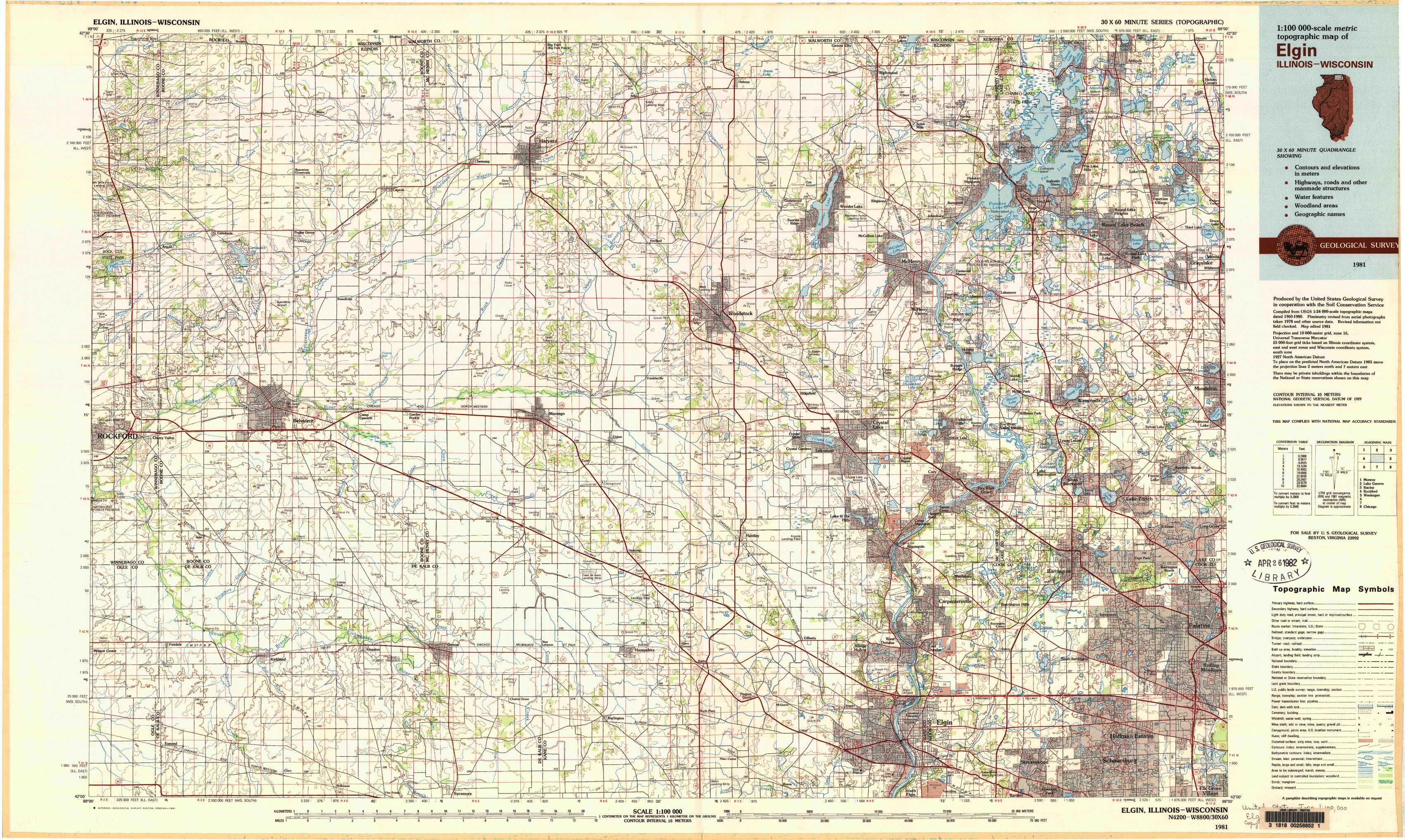
Elgin Topo Map Illinois
To zoom in, hover over the map of Elgin
USGS Topo Map 42088a1 - 1:100,000 scale
| Topo Map Name: | Elgin |
| USGS Topo Quad ID: | 42088a1 |
| Print Size: | ca. 39" wide x 24" high |
| Southeast Coordinates: | 42° N latitude / 88° W longitude |
| Map Center Coordinates: | 42.25° N latitude / 88.5° W longitude |
| U.S. States: | IL, WI |
| Filename: | 42088a1.jpg |
| Download Map JPG Image: | Elgin topo map 1:100,000 scale |
| Map Type: | Topographic |
| Topo Series: | 30´x60´ |
| Map Scale: | 1:100,000 |
| Source of Map Images: | United States Geological Survey (USGS) |
| Alternate Map Versions: | none available in database |
1:100,000 Topos surrounding Elgin
Monroe |
Lake Geneva |
Racine |
Rockford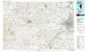 |
Elgin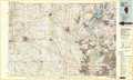 |
Waukegan |
Dixon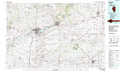 |
Aurora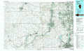 |
Chicago |
> Back to 42088a1 at 1:250,000 scale
> Back to U.S. Topo Maps home
1:24,000 Topo Quads covered by the spatial extent of this 100k map (Elgin)
|
Belvidere Nw 
|
Belvidere Ne 
|
Capron 
|
Harvard 
|
Hebron 
|
Richmond 
|
Fox Lake 
|
Antioch 
|
|
Caledonia 
|
Belvidere North 
|
Garden Prairie 
|
Marengo North 
|
Woodstock 
|
Mchenry 
|
Wauconda 
|
Grayslake 
|
|
Cherry Valley 
|
Belvidere South 
|
Riley 
|
Marengo South 
|
Huntley 
|
Crystal Lake 
|
Barrington 
|
Lake Zurich 
|
|
Fairdale 
|
Kirkland 
|
Genoa 
|
Hampshire 
|
Pingree Grove 
|
Elgin 
|
Streamwood 
|
Palatine 
|