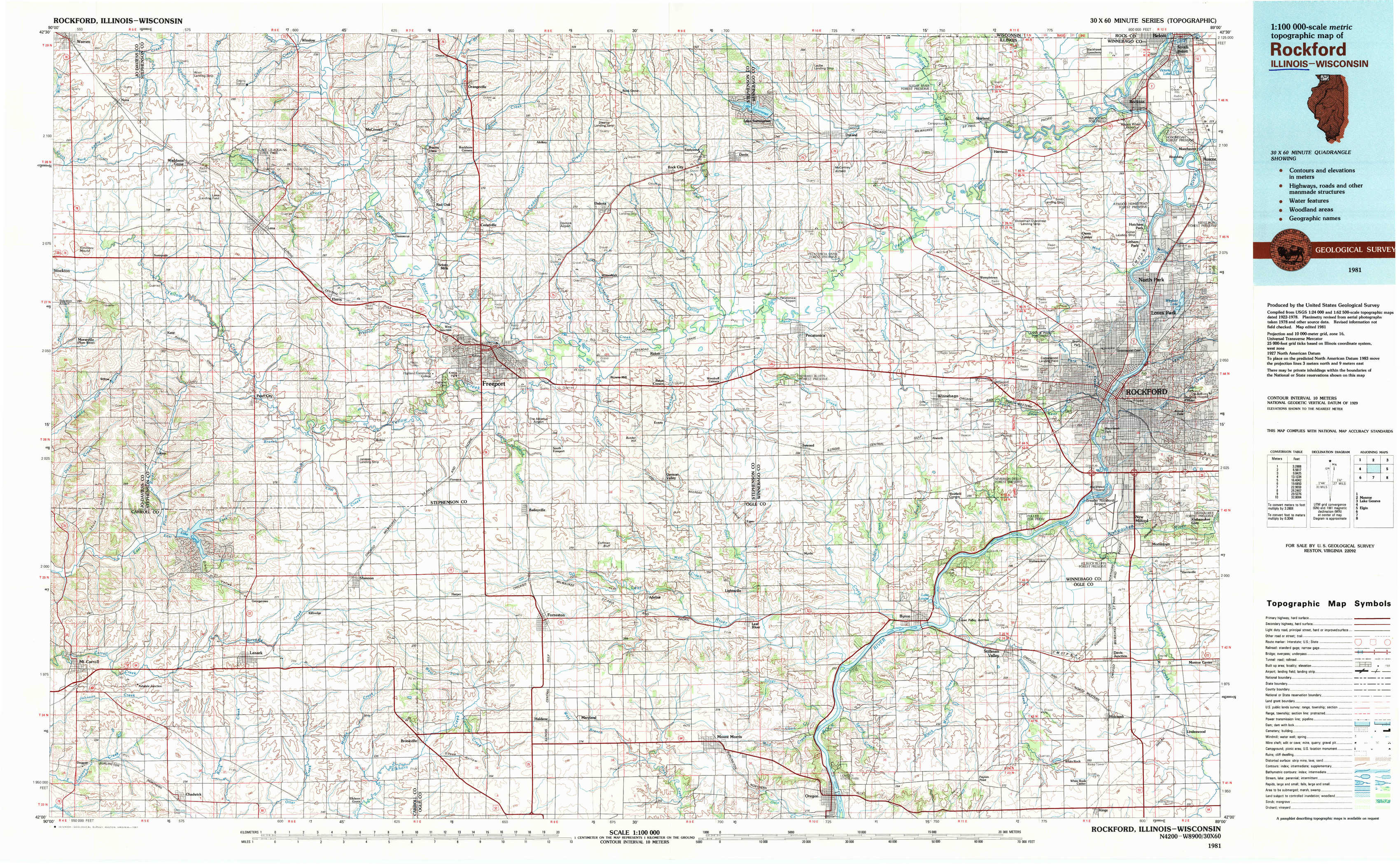
Rockford Topo Map Illinois
To zoom in, hover over the map of Rockford
USGS Topo Map 42089a1 - 1:100,000 scale
| Topo Map Name: | Rockford |
| USGS Topo Quad ID: | 42089a1 |
| Print Size: | ca. 39" wide x 24" high |
| Southeast Coordinates: | 42° N latitude / 89° W longitude |
| Map Center Coordinates: | 42.25° N latitude / 89.5° W longitude |
| U.S. States: | IL, WI |
| Filename: | 42089a1.jpg |
| Download Map JPG Image: | Rockford topo map 1:100,000 scale |
| Map Type: | Topographic |
| Topo Series: | 30´x60´ |
| Map Scale: | 1:100,000 |
| Source of Map Images: | United States Geological Survey (USGS) |
| Alternate Map Versions: |
Rockford IL 1981, updated 1981 Download PDF Buy paper map |
1:100,000 Topos surrounding Rockford
Dubuque North |
Monroe |
Lake Geneva |
Dubuque South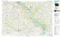 |
Rockford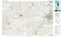 |
Elgin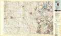 |
Davenport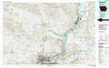 |
Dixon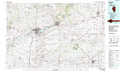 |
Aurora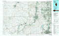 |
> Back to 42088a1 at 1:250,000 scale
> Back to U.S. Topo Maps home
1:24,000 Topo Quads covered by the spatial extent of this 100k map (Rockford)
|
Warren 
|
Lena 
|
Orangeville 
|
Dakota 
|
Davis 
|
Durand 
|
Shirland 
|
South Beloit 
|
|
Kent 
|
Pearl City 
|
Freeport West 
|
Freeport East 
|
Ridott 
|
Pecatonica 
|
Winnebago 
|
Rockford North 
|
|
Loran 
|
Boone Branch 
|
Shannon 
|
Forreston North 
|
German Valley 
|
Seward 
|
Kishwaukee 
|
Rockford South 
|
|
Mount Carroll 
|
Lanark 
|
Brookville 
|
Forreston South 
|
Mount Morris 
|
Oregon 
|
Stillman Valley 
|
Kings 
|