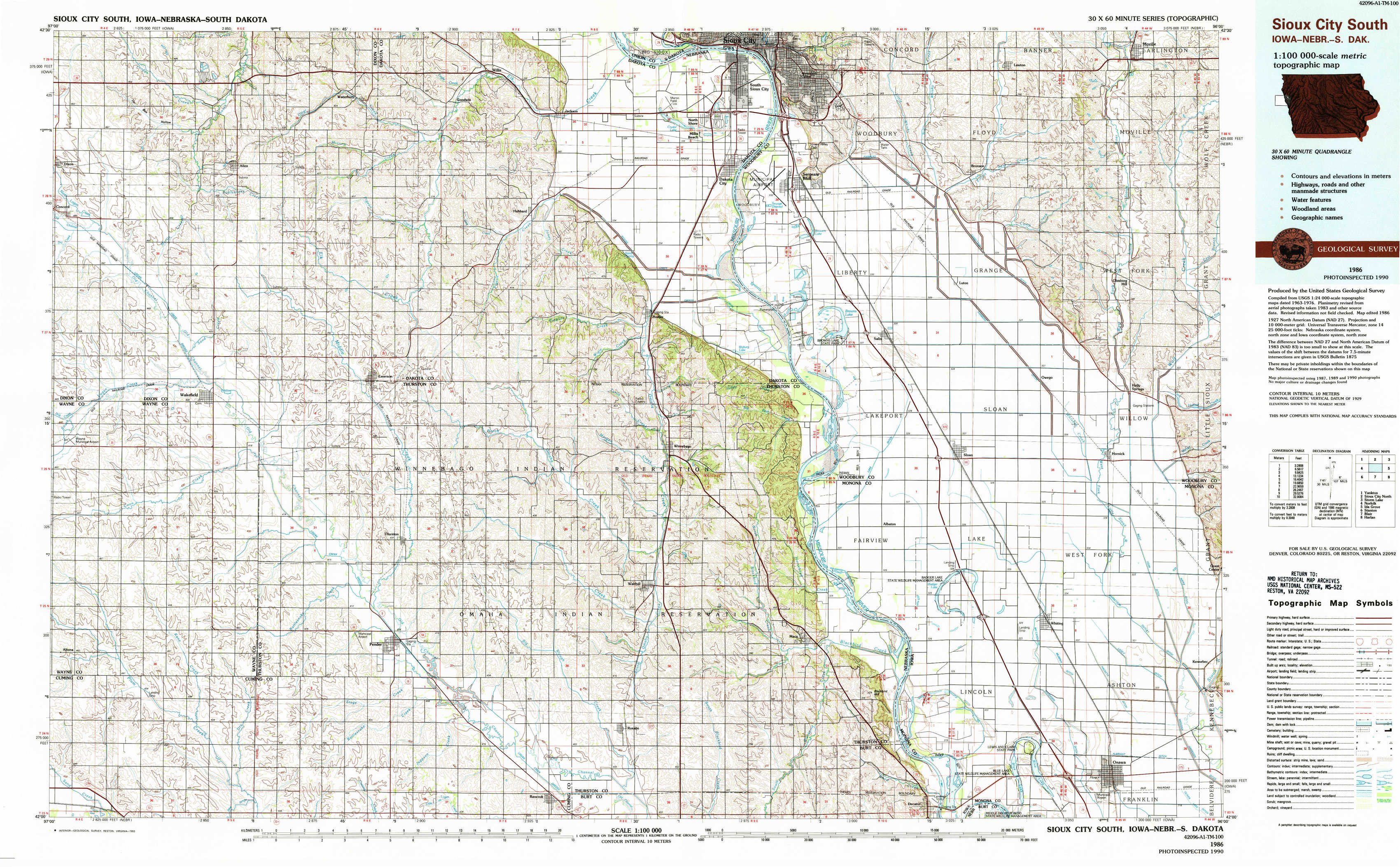
Sioux City South Topo Map Iowa
To zoom in, hover over the map of Sioux City South
USGS Topo Map 42096a1 - 1:100,000 scale
| Topo Map Name: | Sioux City South |
| USGS Topo Quad ID: | 42096a1 |
| Print Size: | ca. 39" wide x 24" high |
| Southeast Coordinates: | 42° N latitude / 96° W longitude |
| Map Center Coordinates: | 42.25° N latitude / 96.5° W longitude |
| U.S. States: | IA, NE, SD |
| Filename: | 42096a1.jpg |
| Download Map JPG Image: | Sioux City South topo map 1:100,000 scale |
| Map Type: | Topographic |
| Topo Series: | 30´x60´ |
| Map Scale: | 1:100,000 |
| Source of Map Images: | United States Geological Survey (USGS) |
| Alternate Map Versions: |
Sioux City South IA 1986, updated 1986 Download PDF Buy paper map Sioux City South IA 1986, updated 1993 Download PDF Buy paper map |
1:100,000 Topos surrounding Sioux City South
Yankton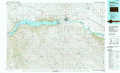 |
Sioux City North |
Storm Lake |
Norfolk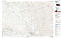 |
Sioux City South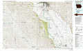 |
Ida Grove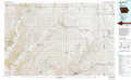 |
Stanton |
Blair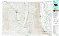 |
Harlan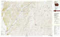 |
> Back to 42096a1 at 1:250,000 scale
> Back to U.S. Topo Maps home
1:24,000 Topo Quads covered by the spatial extent of this 100k map (Sioux City South)
|
Concord 
|
Allen 
|
Waterbury 
|
Jackson 
|
Sioux City South 
|
Sergeant Bluff 
|
Lawton 
|
Moville 
|
|
Wakefield Sw 
|
Wakefield 
|
Emerson 
|
Emerson Se 
|
Homer 
|
Salix 
|
Luton 
|
Climbing Hill 
|
|
Altona Nw 
|
Altona Ne 
|
Thurston 
|
Pender Ne 
|
Walthill 
|
Albaton 
|
Sloan 
|
Hornick 
|
|
Altona 
|
Altona Se 
|
Pender 
|
Bancroft 
|
Walthill Sw 
|
Macy 
|
Onawa Sw 
|
Onawa 
|